Consorzio per la promozione turistica della Valchiavenna

Stazione Ferroviaria Chiavenna
Piazza Caduti per la Libertà
23022 Chiavenna (SO)
consorzioturistico@valchiavenna.com

Snowshoeing in Valchiavenna: Bondeno, Val Febbraro and Lendine

Valchiavenna

Snowshoeing in Valchiavenna offers routes immersed in nature between Bondeno, Val Febbraro and Lendine, with trails suitable for different experience levels and ideal for exploring the snow-covered mountains away from groomed ski slopes.

Details

Valchiavenna offers a variety of snowshoeing routes that extend from the valley floor to higher elevations, providing diverse experiences for those wishing to explore winter landscapes in an authentic natural setting. Among the most notable areas are Bondeno, Val Febbraro and Lendine, each characterised by distinctive scenery and trail features.
One of the most accessible routes is in Bondeno, a flat and open area that is ideal for beginners or those seeking a relaxed snowshoeing excursion. The trail winds through snow-covered meadows and sparse woodland, following a simple and easy-to-navigate route that can be enjoyed safely even with limited experience. Wide-open spaces and good sun exposure make this excursion particularly pleasant and suitable for families.

A different experience is offered by the route connecting Isola and Borghetto through Val Febbraro, a more varied itinerary that follows one of the side valleys of the Valle Spluga. The trail initially follows a snow-covered road before entering a more secluded landscape where forests and open areas alternate along the route.

The ascent is gradual but requires a basic familiarity with walking on snow, especially on the longer sections. The setting is particularly atmospheric, offering beautiful views across the valley and a quieter, more immersive environment than the more frequented areas.

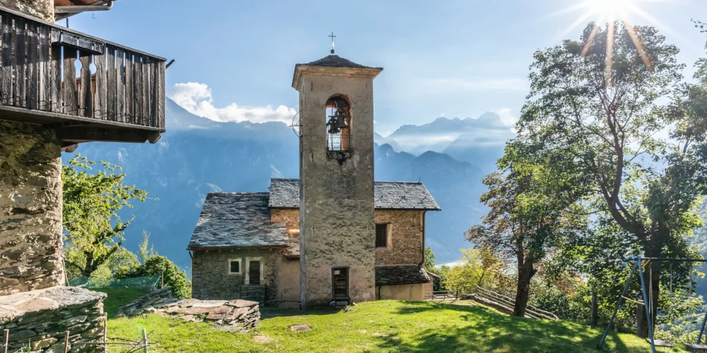
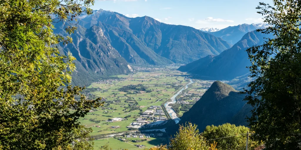
The route to Lendine is among the most panoramic options. Situated above the valley floor, this destination leads to a more open and elevated environment from which visitors can admire the surrounding landscape. The trail passes through woodland and increasingly exposed sections before reaching viewpoints overlooking the mountains of Valchiavenna.

This excursion is best suited to those with some previous experience, particularly when fresh snow or variable conditions are present.

What all these routes have in common is the opportunity to experience the mountains in winter at a slower pace and without the use of ski lifts. Snowshoes make it possible to travel across ungroomed snow, allowing access to natural environments that remain largely untouched throughout the winter season.

From a landscape perspective, these excursions cross forests, side valleys, alpine pastures and open terrain, offering a variety of scenery that changes according to altitude and exposure. This diversity makes each route unique while providing complementary experiences within the same territory.
As with all winter activities in alpine environments, it is important to check snow and weather conditions before setting out. Some routes can be completed independently, while longer itineraries or more challenging conditions may require the support of experienced guides.
Snowshoeing in Valchiavenna offers an accessible and authentic way to discover the region during winter, combining nature, scenery and outdoor activity in a balance between simplicity and exploration.

Informations

Routes available for different skill levels, from easy to intermediate.
Appropriate equipment is recommended.
*Always check snow conditions before departure.

Infopoint
Consorzio Turistico Valchiavenna
Piazza Caduti per la Libertà, 4
23022 Chiavenna (SO)
0343 37485
consorzioturistico@valchiavenna.com
Consorzio Turistico Valchiavenna
Via Don Romeo Ballerini, 2
23021 Campodolcino (SO)
0343 50611
campodolcino@valtellina.it

Pian Di Spagna and Lake Mezzola Nature Reserve

Valchiavenna

In the heart of northern Lombardy, between the tranquil waters of Lake Mezzola and the majestic Alpine peaks, lies a natural landscape suspended between land and sky: the Pian di Spagna and Lake Mezzola Regional Nature Reserve.

Details

Here, silence is broken only by the beating wings of migratory birds and the gentle murmur of water flowing across the plain, turning every step into an encounter with authentic and unspoilt beauty.

Covering approximately 1,600 hectares, this protected area is a mosaic of waterways, reed beds, and meadows framed by the imposing mountains of the Lepontine, Rhaetian, and Orobie Alps. The Montecchi hills rise like green islands from the plain, offering unexpected viewpoints and sweeping panoramas stretching from Mount Berlinghera to Mount Legnone, where sky and land meet in perfect harmony.

Pian di Spagna is not only a refuge for migratory wildlife; it is also a crossroads of history and culture, where ancient settlements and artistic heritage coexist with pristine natural environments. Accessible throughout the year, its network of trails invites visitors to explore landscapes shaped by water, human activity, rare plants, and protected animal species.

The reserve also serves as a centre for research and environmental education. Universities, regional institutions, and European projects work together to study, protect, and enhance this extraordinary ecosystem. Through guided tours, wildlife observation activities, and educational programmes, Pian di Spagna becomes a bridge between scientific research and the everyday wonder of nature.

Every sunrise here is a painting and every sunset a lasting memory. Walking among canals, woodlands, and peaceful waters offers the chance to rediscover a slower rhythm of life and the timeless charm of a landscape that has preserved its authentic character for centuries.

Informations

Per infromazioni:
Riserva Naturale Pian di Spagna e lago di Mezzola
Via della Torre, 1A
22010 Sorico (CO)
T:+39 0344 84251
info@piandispagna.it

Infopoint
Consorzio Turistico Valchiavenna
Piazza Caduti per la Libertà, 4
23022 Chiavenna (SO)
0343 37485
consorzioturistico@valchiavenna.com

San Fedelino Church on Lake Mezzola

Valchiavenna

The small Church of San Fedelino is one of those places where time seems to stand still. Isolated among water, mountains and silence, it has preserved for more than a thousand years a story of faith, art and legend. Reaching it requires a little patience, but it is precisely this remoteness that has allowed the church to survive almost untouched, remaining a precious testimony to Romanesque art in Lombardy.

Details

At the northern end of Lake Mezzola, near the mouth of the Mera River and at the foot of Mount Berlinghera, stands this tiny Romanesque church, one of the oldest and most evocative in Lombardy. It can be reached on foot from Casenda in Samolaco or by boat from Novate Mezzola. Its secluded location protected San Fedelino throughout the centuries. It never became a major sanctuary and therefore retained its original structure, offering visitors an authentic glimpse into the spirituality of the first millennium.

Its origins are linked to Saint Fidelis, a Roman soldier who converted to Christianity. According to tradition, in 284 AD he fled Milan to escape the persecutions of Emperor Maximian. After a long journey, he reached these shores hoping to find safety but was captured by his pursuers and beheaded for refusing to renounce his faith. A first oratory was built over his burial site, later disappearing over time. In 964, following a vision that revealed the location of the relics, the Bishop of Como commissioned the construction of the church that still stands today.

The building is extremely small, consisting of a square nave and a small apse overlooking the river. Its local stone walls, blind arches and piòte stone roof reflect the origins of Alpine Romanesque architecture. Inside, despite damage caused by humidity and periods of abandonment, a remarkable fresco of Christ Pantocrator surrounded by angels and apostles survives, a reminder of a time when the entire church was decorated with colourful paintings.

Over the centuries, the church also experienced difficult periods, serving as a fortification, an animal shelter and even a storage facility. Restoration works began only during the twentieth century, culminating in more recent interventions that restored its dignity and beauty.

Today, immersed in an extraordinary natural setting, San Fedelino continues to tell its thousand-year story. A small treasure of art and spirituality that, quietly overlooking the Mera River, prepares to enter its second millennium.

Informations

Visitor Information
From May to September, weekend afternoons.

Infopoint
Consorzio Turistico Valchiavenna
Piazza Caduti per la Libertà, 4
23022 Chiavenna (SO)
0343 37485
consorzioturistico@valchiavenna.com

Alpe Campo – Alpe Borlasca Ring

Valchiavenna

An extraordinary route, full of charm and fascination, offering multiple vantage points over the valley.

Details

The natural setting is priceless. You move through an alpine habitat that has remained unchanged, in which signs of anthropization are almost absent.

Throughout the hike, you enjoy wonderful views that alone repay the many labors. The whole trail takes about 5 hours and is suitable for those with a good workout in their legs.

For those moving by car, arriving in Gordona it is necessary to take the consortium road to Val Bodengo.

Transit by cars is allowed with permission that can be acquired online https://www.valbodengo.shop/ or at the village bars.

After passing the Donadivo refreshment stand, continue to Pra Pincée (917 m) where the marked trail to Alpe Campo begins from a large parking area. The signage is well marked. The first section of the trail climbs gently through moist alder, willow, birch and maple forests. At the hairpin bend a marker post with trail signs provides directions to continue into the wild, secluded and surprising Garzelli Valley. The Fall of the Giants When you reach the clearing (1031 m), you bend and climb sharply to the left, passing under an imposing dark rock face known as the “Fall of the Giants.” Challenging climbing routes are present here. The trail begins to climb steeply again with narrow hairpin bends and, having passed a first small valley, enters a mainly fir forest where some specimens of silver fir (ambièz) are of considerable size. As you continue, the surrounding vegetation also changes, with larch trees and underbrush rich in rhododendrons and blueberries.

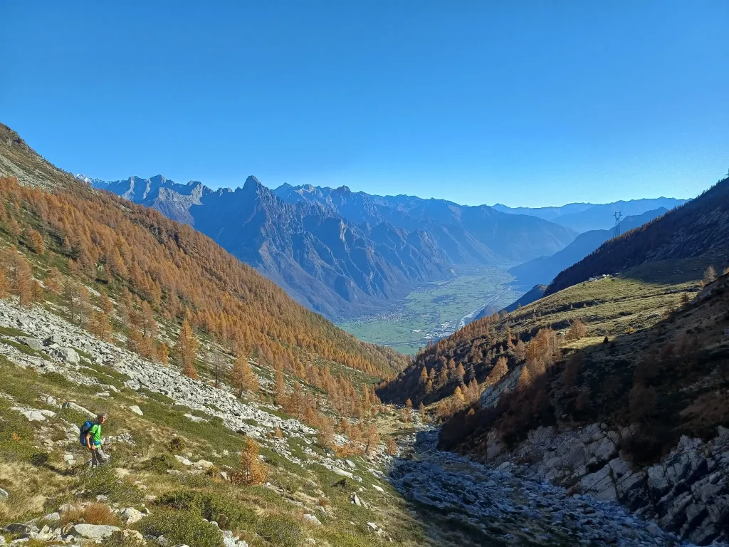
Once past the forest, Alpe Campo (1656 m) suddenly appears with its small huts, which gathered under rocks have almost all been renovated. Looking up, the mountains that frame the alp make it a picture of incomparable alpine charm. The jagged punta Anna Maria, the pizzi d’Alterno, pizzo Ledù, and monte Rabbi or Rotondo close the horizon to the south, while turning our gaze north we see the unmistakable pyramid of pizzo Stella with pizzo Emet and Suretta to its left.

From Alpe Campo we walk to the left and in an easterly direction we reach a plateau, where among sparse larches on a small log we find signposts indicating the direction to Alpe Borlasca, nearby painted on a boulder red-white arrows confirm the direction. We point north and the view opens up to a wide natural spectacle. To the south we can see the Avért di Campo also called Avérton, where at their apex is the wide Manduario saddle, a crossing point to Val Soe. The Manduario saddle is bordered toward Val Bodengo by the characteristic Monte Cucco. Below us dense mixed forests of beech, fir and birch cover the steep banks of the Val Garzelli. To the east we can see peeking out, behind the Codera – Masino rock walls, Mount Disgrazia almost always cloaked in snow.

The trail continues with several hairpin bends, and coming out of the woods the wide knoll with the meadows and huts of Bedolina (946 m) opens up. At the upper edge of this hill rises a small church with a large churchyard shaded by magnificent beech trees. The church is dedicated to Our Lady of Consolation and was blessed in 1764. It served the mountain people of Bedolina, Garzelli, Brusada, Prà Pincée and Barzena. On the facade of the church to the right of the portal, a plaque lists the names of workers who died in the construction of the tunnel to bring water to the Mese Hydroelectric Power Plant (1940-1945). As many as 19 of them perished buried by an avalanche in the Garzelli Valley on April 5, 1941. Leaving the little church behind, we walk along the car road to the junction, where the track to Mount Garzelli begins, which we follow to a marker post and walk on a level path back to the footbridge over the Boggia and to the parking lot of the beautiful group of houses at Pra Pincèe.

Informations

Difficulty: Hard

Duration: 4:45 h

Distance: 10,03 km

Ascent: 894 mt

Descent: 895 mt

Highest point: 1779 mt

Lowest point: 895 mt

Best time of year:

Jan
Feb
Mar
Apr
May
Jun
Jul
Aug
Sep
Oct
Nov
Dec

Download the GPX track
Download the KML track

How to get here

Public transport: It is possible to reach Gordona by bus connection STPS line.
For schedules https://www.stps.it/

Starting point: get directions in Google Maps

Infopoint
Consorzio Turistico Valchiavenna
Piazza Caduti per la Libertà, 4
23022 Chiavenna (SO)
0343 37485
consorzioturistico@valchiavenna.com

Ascent from Era to Paiedo

Valchiavenna

This is a difficult climb to interpret because of the constant changes in gradient that break the rhythm. It has two very easy sections: one at the start and the other at the first kilometer, with some meters also downhill. The rest of the climb alternates between frequent ramps at 14-15% and very short easier sections. However, the average gradient is very high (9.5 percent).
The most challenging sections are already found in the first kilometer with the double hairpin bend just after the church (13%).
Subsequently, the following gradients are reached:
15% at km 1.6, 13% at km 2.3, 14% just before Paiedo, 14-15% at km 8.2 and at km 8.9 in the last segment between pastures.
In addition to the numerous hairpin bends well distributed along the route (27 in total), there are also short stretches where the gradient offers some breathing space: passages at 7% at km 4.3, km 6.5 and km 8.0.

Details

The climb begins in Era, the capital of the municipality of Samolaco, at km 5 of provincial road 2 (“Trivulzia”). It is necessary to be very careful in the first part: you must first go along via Roma and, when you arrive at the fork after the bridge, follow the signs for the church on the left.

There is another possibility to take the ascent: continue along via Roma a Era without turning towards the church, reach the hamlet of Casenda, turn right and enter, after a 750 m tear at 11% along a narrow and winding road, the artery to Paiedo at the fifth hairpin bend.

The roadway is rather narrow, but the absence of traffic means that the cyclist has no particular problems. Some minor discomfort may be caused, in the final stretch, by grazing livestock.

The asphalt is good, but in the second part (particularly from km 5.5 and in the final, after the village of Paiedo) there are stretches with a cemented surface that have some irregularities.

Shade is abundant until km 7.2, guaranteed by chestnut and birch forests, while it is totally absent when climbing the mountain pastures upstream of Paiedo. The view is foreclosed in the first part, while it opens magnificently over the entire Valchiavenna in the final stretch.

Very spectacular is the view that unfolds at the height of the eighth hairpin bend (km 2.2), near the church of Sant’Andrea (reachable on foot in a few minutes), from where a stupendous waterfall can be admired high up on the right.

From that point there is a ban on access for non-resident vehicles.

In order to drive along this stretch, it is necessary to purchase a permit at the town hall at the beginning of the climb.

Informations

Difficulty: Medium

Duration: 1:45 h

Distance: 9,05 km

Ascent: 865 mt

Descent: 3 mt

Highest point: 1073 mt

Lowest point: 211 mt

Best time of year:

Jan
Feb
Mar
Apr
May
Jun
Jul
Aug
Sep
Oct
Nov
Dec

Download the GPX track
Download the KML track

How to get here
Infopoint
Consorzio Turistico Valchiavenna
Piazza Caduti per la Libertà, 4
23022 Chiavenna (SO)
0343 37485
consorzioturistico@valchiavenna.com

Rowing

Valchiavenna

A descent of extraordinary regularity.
The route to Voga is distinguished by a rare feature in the Alpine landscape: a gradient of exceptional constancy. With an average of 6.2%, this climb is a perfect example of harmonious gradualness, where sections exceeding 10% are an absolute rarity.
Segmental analysis reveals a technical profile of great balance: the first kilometer welcomes the cyclist with a gentle introduction at 6.2%, while the most challenging sections-the ninth and eleventh kilometers-reach just 9% without ever presenting prohibitive ramps. The central body of the climb maintains a methodical progression between 7 percent and 8.5 percent, creating a natural and sustainable pedaling pace.
The only notable bumps occur in the straight after Foppo, where the road briefly touches 12 percent, and at kilometer 10.6 with a peak of 12.5 percent. These passages, however, never compromise the overall harmony of the ascent.

Details

The climb starts from the fork in the Trivulza Provincial Road (km 11.6), just before the bridge over the Crezza stream, where a right turn toward Coloredo and Menarola marks the beginning of the adventure. The initial route skirts the crystal-clear waters of the Crezza, which rushes down from the Forcola Valley, offering striking views that are renewed at every turn.

The route passes through the quaint scattered municipality of Menarola, a gem of just 43 inhabitants that has retained its dispersed soul: instead of an urban center, a constellation of hamlets winds along the mountainside. The route touches on authentic alpine gems: Motto (km 2.5), Gradisello (km 3.1), the lonely town hall (km 3.5), Castanedi (km 5.0) with its evocative Church of Our Lady of Sorrows, Foppo (km 8.5) and finally Voga (km 9.5).

The road surface presents a mosaic of conditions: mostly fair, it nevertheless requires the utmost care in the short bumpy sections, which are particularly dangerous downhill. The last mile and a half constitutes a real test of technical skill, with deteriorated asphalt and treacherous concrete culverts.

The narrowed roadway from the hamlet of Coloredo makes crossing between vehicles a tricky maneuver, offset fortunately by virtually nonexistent traffic. The trail meanders with a total of 29 hairpin bends (25 up to Voga, 4 in the final section), following the mile markers of SP 3 “di Menarola” to the town hall.

The woods provide valuable natural shade: chestnut groves in the initial sections give way to larch and birch in the higher elevations, creating a green tunnel that protects from the summer sun. The area is generous with sources of the purest water.

The natural end of the ascent coincides with the hamlet of Voga (1057 m), reached at kilometer 9.3, where a panoramic scenery of rare beauty opens up: to the right the Chiavenna plain stretches as far as Lake Novate Mezzola, frontally rises the imposing Pizzo di Prata, while to the left the peaks of Val Bregaglia draw a picture-postcard alpine horizon.

For the more determined, a final appendage (interdicted to unauthorized traffic) leads toward the maggenghi located close to 1,200 meters, offering an even more exclusive epilogue to this hidden gem of the Rhaetian Alps.

Informations

Difficulty: Medium

Duration: 1:40 h

Distance: 11,24 km

Ascent: 811 mt

Descent: 55 mt

Highest point: 1053 mt

Lowest point: 297 mt

Best time of year:

Jan
Feb
Mar
Apr
May
Jun
Jul
Aug
Sep
Oct
Nov
Dec

Download the GPX track
Download the KML track

How to get here
Infopoint
Consorzio Turistico Valchiavenna
Via Don Romeo Ballerini, 2
23021 Campodolcino (SO)
0343 50611
campodolcino@valtellina.it

From Donadivo to Lavorerio Alp

Valchiavenna

Alpe Lavorerio is located in Val Pilotera, along the left orographic bank of Val Bodengo. The trail leads to the refuge of the same name.

Details

From Gordona, more trained hikers can already start walking to the alp.

Alternatively, one can drive to the village of Donadivo (737 m). From here on foot in three hours you will reach your destination.

A third opportunity is provided by the Orlo alp (1165 m) reachable by car, gaining about an hour’s walk, at the expense, however, of losing the pleasure of walking along the jewel of a mule track, along the “Benefactor’s Path,” which passes through a beautiful beech forest and leads to the alp.

Among meadows, stones, rhododendrons and in the larch forest you look at the summit. Through large pastures following the markers you reach a small bridge and a little further on, past some rocky crags, the Lavorerio house/shelter (1862 m).

The building is divided into two parts: the southern one is used for agricultural activities, while the northern side is used as a dwelling/shelter with the purpose of promoting and enhancing the Lavorerio alp and the whole valley. Today this building is made available to organizations and associations, interested in spending a vacation stay here, fully enjoying the magnificent landscapes.From the refuge there is a regenerating view of the entire valley. Clearly visible to the east are the glades of Cermine and Orlo and in the background Pizzo di Prata, the peaks of Masino, Codera and Engadine.

The refuge is not managed. It is therefore necessary to pick up the keys and purchase a transit permit at the San Martino bar in Gordona or online by clicking here

The rest of the alp is surrounded by impressive crags at first grassy, then rocky to the northwest. Magnificent are the granite slabs to the south.

It should be considered that beyond the hut, the trail is less obvious and the markings are much rarer, so it is necessary to be equipped with a map and adequate orientation skills.

Informations

Difficulty: Hard

Duration: 4:25 h

Distance: 7,45 km

Ascent: 1175 mt

Descent: 67 mt

Highest point: 1864 mt

Lowest point: 752 mt

Best time of year:

Jan
Feb
Mar
Apr
May
Jun
Jul
Aug
Sep
Oct
Nov
Dec

Download the GPX track
Download the KML track

How to get here

Public transport: It is possible to reach Gordona by STPS bus .

Getting there: To reach Gordona loc. Donadivo (or loc. Orlo) by car, it is necessary to purchase a transit permit
at the bars in Gordona or by clicking here

Starting point: get directions in Google Maps

Infopoint
Consorzio Turistico Valchiavenna
Piazza Caduti per la Libertà, 4
23022 Chiavenna (SO)
0343 37485
consorzioturistico@valchiavenna.com

Ascent in Val Bodengo

Valchiavenna

No cyclist will ever regret tackling this extraordinary and varied route, a climb with a bipolar character that offers contrasting and unforgettable emotions. The ascent is clearly divided into two acts: the first kilometers, tough and relentless, put legs and breath to the test, but are generously rewarded by the second segment, where it is finally possible to savor without too much effort first the harsh and wild beauty of the Valbodengo canyon, then the relaxing and bucolic environment that welcomes the picturesque mountain village of Bodengo.

Details

The adventure begins already on the Trivulzia Provincial Road: even the 800 meters before the junction for Valbodengo have uphill characteristics for those coming from Colico. At the crucial junction before the bridge over the Crezza stream, a left turn towards Valbodengo marks the entrance into a different world.

The first stretch through Gordona still offers some relief with gentle gradients up to kilometer 1.5. But from the last houses of the town, the mountain starts showing its teeth: the slopes gradually become more demanding until, at the entrance to the consortium road, the real challenge with the alpine verticality begins.

The average gradient approaches an impressive 12% in a dramatic crescendo. Six hairpin bends mark this relentless stretch where the road never gives a break, stubbornly staying above 10%. The fiercest ramps appear at kilometer 3 (14%) and reach the peak at kilometer 5 with gradients up to 16% that challenge even the best-trained cyclists.

At the trattoria, a breathtaking view of the Valchiavenna and the imposing mass of Pizzo di Prata offers the right reward for the effort made. Fortunately, the toughest section remains behind.

After passing the hardest part, the ascent still has challenging segments (11% at km 7.2, 13% at km 9) but all short in duration, almost final sprints towards liberation. The most suggestive moments come when the road runs along the hillside, offering breathtaking passages over the famous canyon below.

It is not uncommon to come across groups of canyoning enthusiasts equipped with wetsuits and ropes, ready to try their hand at this fascinating discipline for which Valbodengo is an ideal testing ground. The wild environment, characterized by some rough sections and the presence of a short rockfall protection tunnel (beware of signs prohibiting transit in adverse weather conditions), adds a touch of authentic adventure.

Reaching the first hamlets of the valley, the environment transforms radically. Starting from Pra Pince, the landscape opens into gentler and more welcoming scenes. The Boggia stream flows quietly on the left, accompanying the cyclist to the arrival at Bodengo, a small village of rare beauty, anticipated by the characteristic church of San Bernardo.

For the most adventurous, beyond Bodengo (with passages at 14%) it is necessary to cross the stream: the asphalt road ends less than a kilometer later in an anonymous place, but it has preserved the look of old times.

The route, except for the first two kilometers, runs entirely in the shade of dense chestnut woods, offering precious protection from the sun and numerous characteristic fountains to quench thirst along the way.

Important note: to drive on the consortium road by car it is necessary to obtain a special paid permit at the bar near the church. Although the road requires payment, traffic can cause some inconvenience during summer weekends, also considering the narrow size of the carriageway.

The boldest climbers and lovers of impossible gradients can try this alternative route: after passing the trattoria, turn right and, after passing the barrier after the first hairpin bend, face a real asphalt wall that leads up to 1,116 meters altitude.

This route represents a vertical leap of 360 meters over 2.9 kilometers of pure cycling masochism: 13 hairpin bends with an average gradient above 12% and peaks of 20% that defy the laws of physics and human endurance. The only downside of this extreme variant is that currently the road ends in an anonymous place, a few hundred meters from the Orlo alpine pasture, making the effort end in itself but tremendously fascinating for those seeking the pure thrill of absolute verticality.

Informations

Difficulty: Medium

Duration: 1:40 h

Distance: 10,04 km

Ascent: 797 mt

Descent: 54 mt

Highest point: 1040 mt

Lowest point: 297 mt

Best time of year:

Jan
Feb
Mar
Apr
May
Jun
Jul
Aug
Sep
Oct
Nov
Dec

Download the GPX track
Download the KML track

How to get here
Infopoint
Consorzio Turistico Valchiavenna
Piazza Caduti per la Libertà, 4
23022 Chiavenna (SO)
0343 37485
consorzioturistico@valchiavenna.com

Hike Voga – Alpe Buglio – Forcola Bivouac

Valchiavenna

One of the ancient paths that led, and still leads, to the Forcola Pass, which connects Valchiavenna with Val Mesolcina (Switzerland).
It is possible to reach the Forcola Bivouac, located in the municipality of Gordona at 1838 m.

Details

The route starts from the hamlet Voga of Menarola and climbs steeply passing through Alpe Dardano (1334 m a.s.l.) and then Alpe Buglio (1554 m a.s.l.). From Alpe Buglio the path continues to the left keeping on the slope; it continues with a slight incline crossing a sparse larch forest. A deviation to the left leads to Alpe Forcola (1838 m) where the namesake bivouac and a beautiful panorama are located. The bivouac is always open, unattended, and maintenance is regularly carried out by the Pro Loco of Menarola. There are 12 equipped beds, a stove with a wood kitchen, and a bathroom with running water.

From here it is possible to continue the ascent towards Forcola Pass or towards Val Capra (high route).

It is possible to return to Dardano/Voga passing by Alpe Cima.

Informations

Difficulty: Medium

Duration: 2:40 h

Distance: 4,53 km

Ascent: 787 mt

Descent: 1 mt

Highest point: 1841 mt

Lowest point: 1054 mt

Best time of year:

Jan
Feb
Mar
Apr
May
Jun
Jul
Aug
Sep
Oct
Nov
Dec

Download the GPX track
Download the KML track

How to get here

Getting there: By car from Gordona, hamlet Coloredo, follow the signs for Menarola, loc. Voga.

Parking: In Voga there is a large free parking area. It is not necessary to buy a transit pass.

Starting point: get directions in Google Maps

Infopoint
Consorzio Turistico Valchiavenna
Via Don Romeo Ballerini, 2
23021 Campodolcino (SO)
0343 50611
campodolcino@valtellina.it

Donadivo – Cermine – Alpe Cima hike

Valchiavenna

The view that will open up before your eyes during the route, as well as the one you will appreciate once you reach the top, will reward you for the effort of the climb.

Details

Every mule track is a masterpiece of ingenuity and taste. The long mule track that climbs from Gordona to the Alpe Cermine is among the most beautiful in Valchiavenna. It is the so-called benefactor’s mule track. The view that will open before your eyes during the route, as well as the one you will appreciate once you reach the top, will reward you for the effort of the climb.

To reach Donadivo by car you need to obtain a permit. You can request it at the bars in the municipality of Gordona or buy it online https://www.valbodengo.shop/

You then drive along the consortium road and when you reach Donadivo, you can leave the car in the parking area.

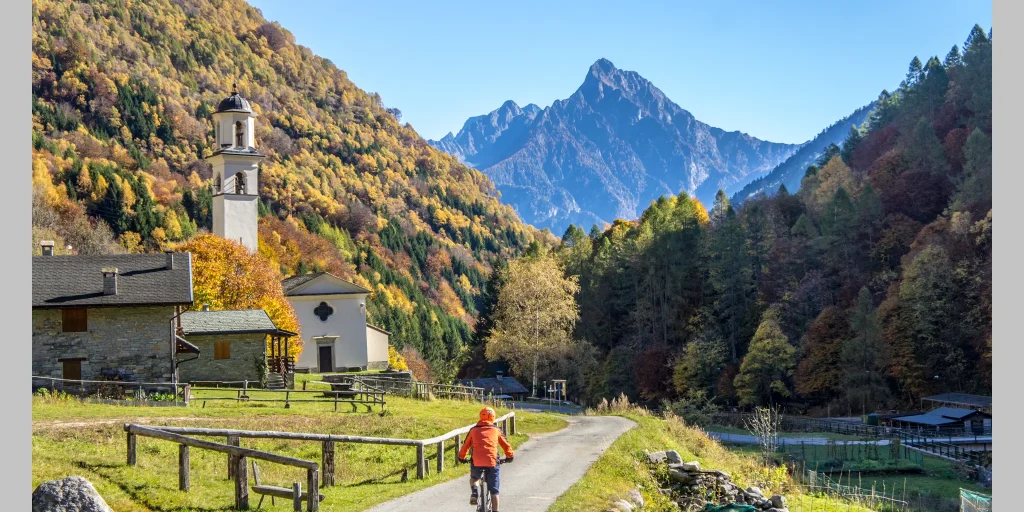
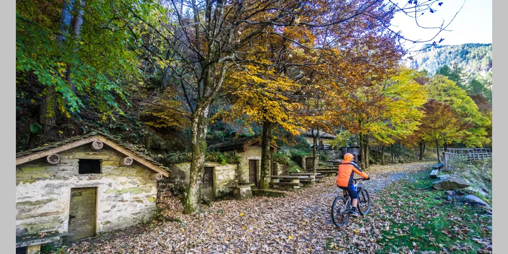
The start of the mule track is easy to find: from here the climb begins on the beautiful stone path that leads into the woods. The route offers no respite and from the 750 meters of Donadivo you climb until you reach Alpe Orlo at an altitude of 1165 meters. The route is fascinating, especially in autumn when the first cold spells start the slow change in the color of the leaves from green to shades of orange and yellow.

The panorama opens to the north towards Val Bregaglia and to the south on Lake Novate Mezzola. The route offers a very favorable perspective, enhanced by the hillside which during these months is often frequented by mushroom and chestnut lovers.

The first stage ends at Alpe Orlo from where you continue to Alpe Cermine (1350 m) always following the mule track once used to connect the alpine pastures with the valley and the inhabited centers.

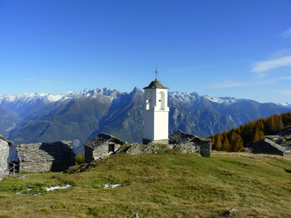
Just follow the signage placed along the ridge to gradually exit the woods. Then you will cross the mountain following the contour path, until you notice at the summit the characteristic white chapel with a circular plan that signals the arrival at Alpe Cima. Here the altitude is just below 1900 meters.

The panorama more than compensates for the effort and time spent walking.

From the meadows of Alpe Cima the view ranges from the peaks of Val Codera to the granite mass of Pizzone di Prata, ascending further towards Bregaglia where the Sciora group with its five peaks dominates, framed by Cengalo and Badile.

Informations

Difficulty: Medium

Duration: 3:20 h

Distance: 4,75 km

Ascent: 1133 mt

Descent: 14 mt

Highest point: 1885 mt

Lowest point: 752 mt

Best time of year:

Jan
Feb
Mar
Apr
May
Jun
Jul
Aug
Sep
Oct
Nov
Dec

Download the GPX track
Download the KML track

How to get here

Public transport: Gordona can be reached by STPS bus, departing from Chiavenna 
CLICK HERE FOR TIMETABLES

Getting there: Once you have reached the village of Gordona, it is possible to reach Donadivo by car upon purchase of a permit.
You can request it at the bars in the municipality of Gordona or buy it online https://www.valbodengo.shop/

Starting point: get directions in Google Maps

Infopoint
Consorzio Turistico Valchiavenna
Piazza Caduti per la Libertà, 4
23022 Chiavenna (SO)
0343 37485
consorzioturistico@valchiavenna.com

Search in the website