
Valchiavenna
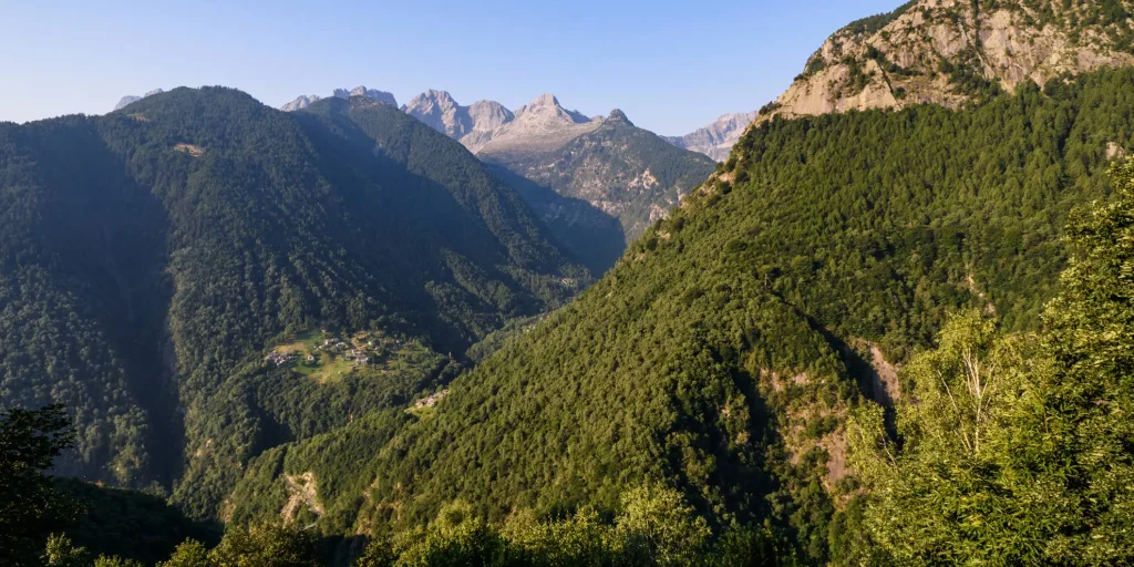
The view that will open up before your eyes during the route, as well as the one you will appreciate once you reach the top, will reward you for the effort of the climb.
Every mule track is a masterpiece of ingenuity and taste. The long mule track that climbs from Gordona to the Alpe Cermine is among the most beautiful in Valchiavenna. It is the so-called benefactor’s mule track. The view that will open before your eyes during the route, as well as the one you will appreciate once you reach the top, will reward you for the effort of the climb.
To reach Donadivo by car you need to obtain a permit. You can request it at the bars in the municipality of Gordona or buy it online https://www.valbodengo.shop/
You then drive along the consortium road and when you reach Donadivo, you can leave the car in the parking area.
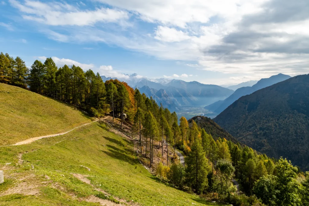
The start of the mule track is easy to find: from here the climb begins on the beautiful stone path that leads into the woods. The route offers no respite and from the 750 meters of Donadivo you climb until you reach Alpe Orlo at an altitude of 1165 meters. The route is fascinating, especially in autumn when the first cold spells start the slow change in the color of the leaves from green to shades of orange and yellow.
The panorama opens to the north towards Val Bregaglia and to the south on Lake Novate Mezzola. The route offers a very favorable perspective, enhanced by the hillside which during these months is often frequented by mushroom and chestnut lovers.
The first stage ends at Alpe Orlo from where you continue to Alpe Cermine (1350 m) always following the mule track once used to connect the alpine pastures with the valley and the inhabited centers.
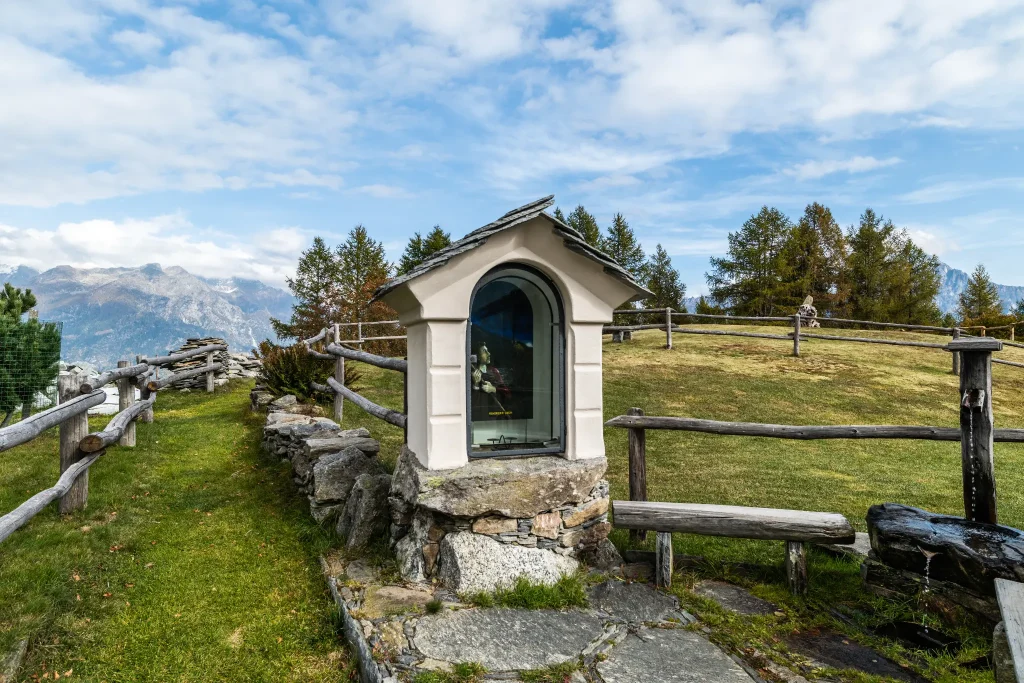
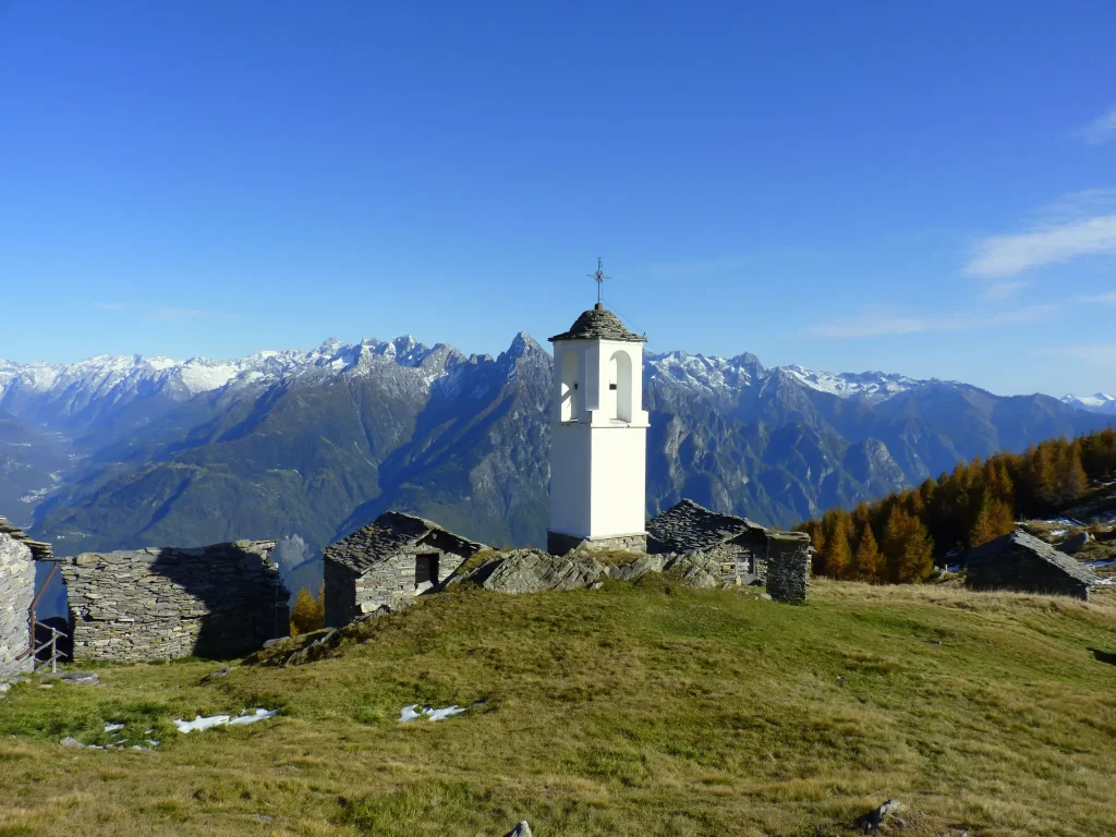
Just follow the signage placed along the ridge to gradually exit the woods. Then you will cross the mountain following the contour path, until you notice at the summit the characteristic white chapel with a circular plan that signals the arrival at Alpe Cima. Here the altitude is just below 1900 meters.
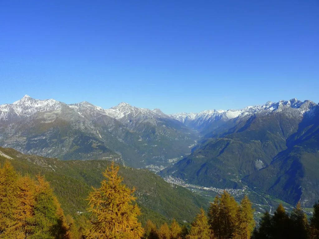
The panorama more than compensates for the effort and time spent walking.
From the meadows of Alpe Cima the view ranges from the peaks of Val Codera to the granite mass of Pizzone di Prata, ascending further towards Bregaglia where the Sciora group with its five peaks dominates, framed by Cengalo and Badile.
Difficulty: Medium
Duration: 3:20 h
Distance: 4,75 km
Ascent: 1133 mt
Descent: 14 mt
Highest point: 1885 mt
Lowest point: 752 mt
Best time of year:
Public transport: Gordona can be reached by STPS bus, departing from Chiavenna
CLICK HERE FOR TIMETABLES
Getting there: Once you have reached the village of Gordona, it is possible to reach Donadivo by car upon purchase of a permit.
You can request it at the bars in the municipality of Gordona or buy it online https://www.valbodengo.shop/
Starting point: get directions in Google Maps
Piazza Caduti per la Libertà, 4
23022 Chiavenna (SO)
0343 37485
consorzioturistico@valchiavenna.com
Valchiavenna
Related experiences

Alpe Campo – Alpe Borlasca Ring
The natural setting is priceless. You move through an alpine habitat that has remained unchanged, in which signs of anthropization are almost absent. Throughout the hike, you enjoy wonderful views that alone repay the many labors. The whole trail takes about 5 hours and is suitable for those with a good workout in their legs. […]
From Donadivo to Lavorerio Alp
From Gordona, more trained hikers can already start walking to the alp. Alternatively, one can drive to the village of Donadivo (737 m). From here on foot in three hours you will reach your destination. A third opportunity is provided by the Orlo alp (1165 m) reachable by car, gaining about an hour’s walk, at […]

Hike Voga – Alpe Buglio – Forcola Bivouac
The route starts from the hamlet Voga of Menarola and climbs steeply passing through Alpe Dardano (1334 m a.s.l.) and then Alpe Buglio (1554 m a.s.l.). From Alpe Buglio the path continues to the left keeping on the slope; it continues with a slight incline crossing a sparse larch forest. A deviation to the left […]

Bodengo – Corte Terza – Bivacco Alpe Notaro Hiking
By following this route you have the opportunity to discover the ancient paths used by the “spalloni”, the smugglers who from long ago transported goods between Switzerland and Italy. Start by car from Gordona. From here, take the road that climbs towards Val Bodengo (you need to get a pass, purchasable at the start of […]

Excursion to Rifugio Il Biondo
The commitment of the CAI members, with the support of the Prata Camportaccio Forest Consortium, gave life to a welcoming and well-organized building, to which many have attached affection and personal memories. For those wanting to reach this destination, there are two very beautiful routes that develop on the two sides of Val Schiesone. From […]

Hotel
Comfortable stays in the heart of Valchiavenna, combining hospitality, services and Alpine landscapes to experience in every season.

Bed & breakfast
Small properties and welcoming atmospheres to experience Valchiavenna simply, with authentic hospitality and a strong connection to the local area.

Holiday homes
Independent accommodation solutions to feel at home even on holiday and discover Valchiavenna at your own pace.

Mountain huts and campsites
Hospitality immersed in nature, among local traditions, mountain life and the pleasure of experiencing the area more closely.