Consorzio per la promozione turistica della Valchiavenna

Stazione Ferroviaria Chiavenna
Piazza Caduti per la Libertà
23022 Chiavenna (SO)
consorzioturistico@valchiavenna.com

Bodengo – Corte Terza – Bivacco Alpe Notaro Hiking

Valchiavenna

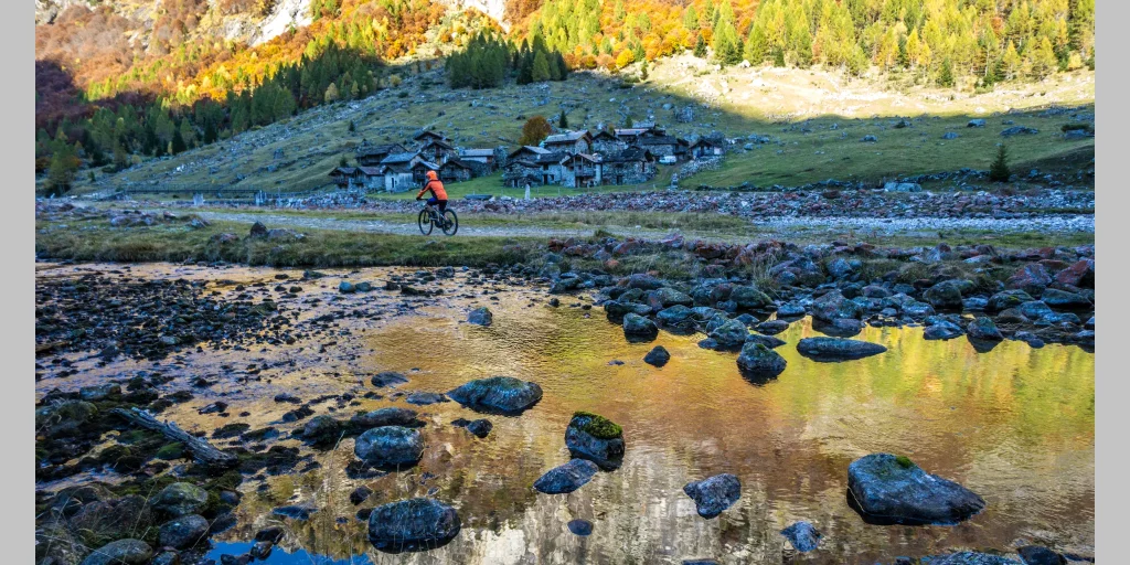
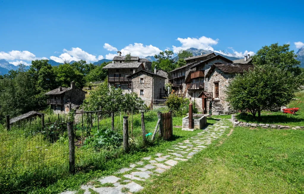
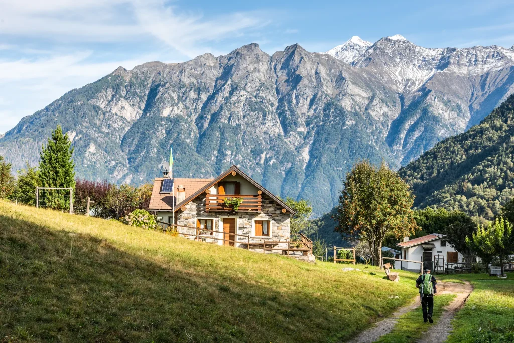
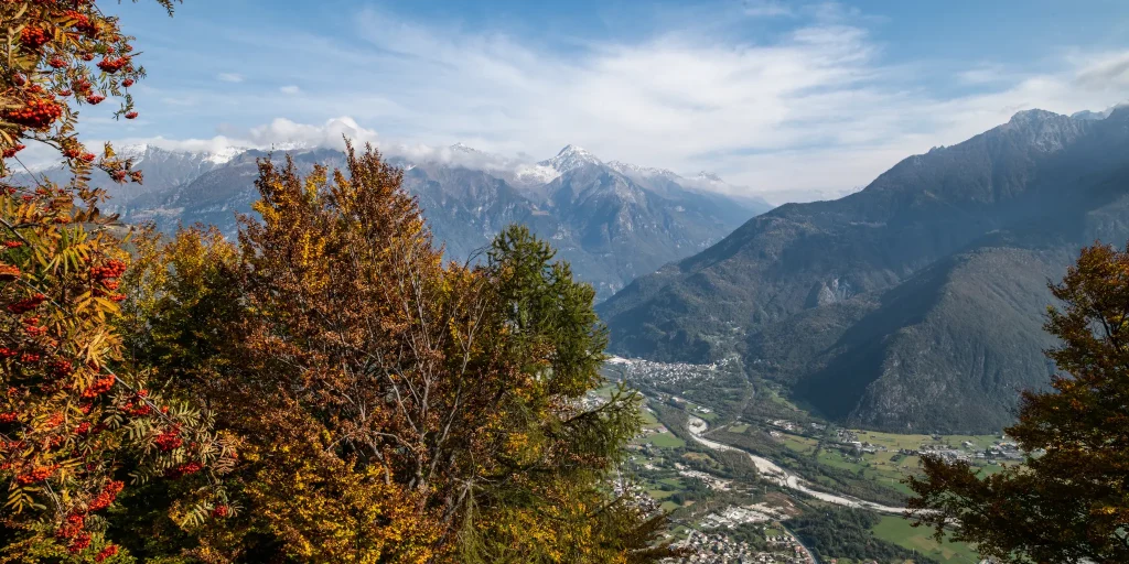
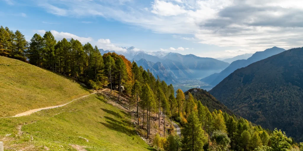
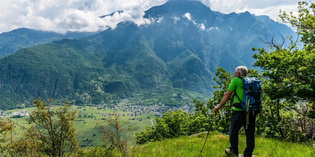
Autumn in Valchiavenna offers endless opportunities for those who love hiking. We take you in the footsteps of the smugglers.
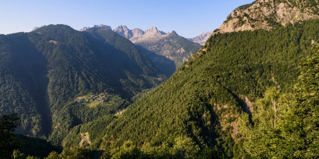
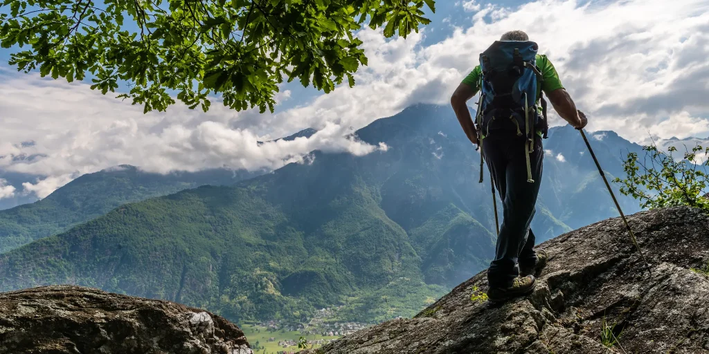
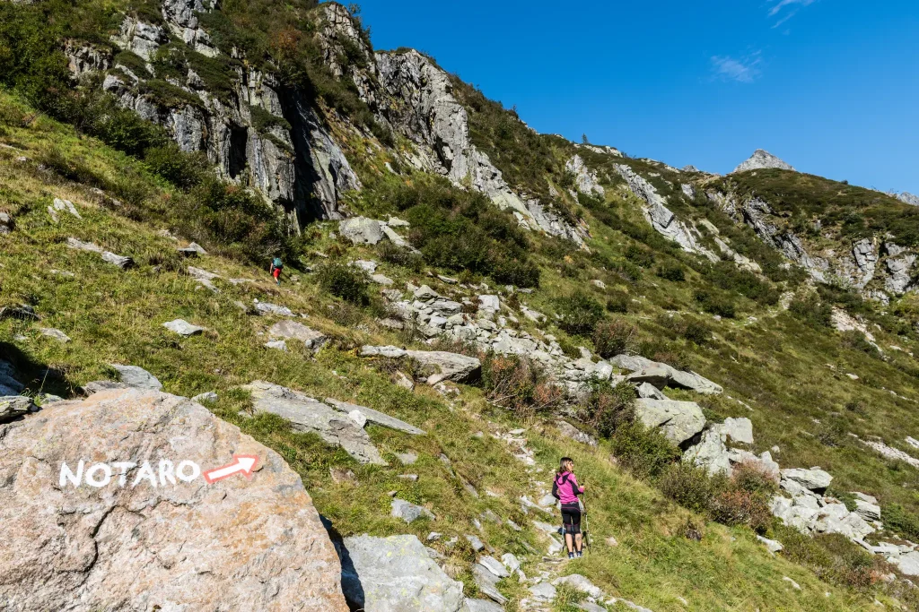
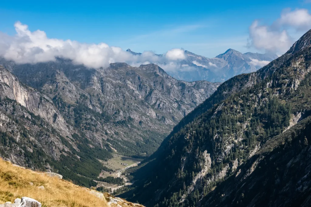
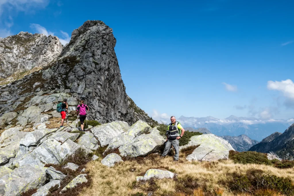
The Bocchetta del Notaro is a perfect destination for the autumn months. A suggestive route, rich in history where you find a rugged and still intact nature.

Details

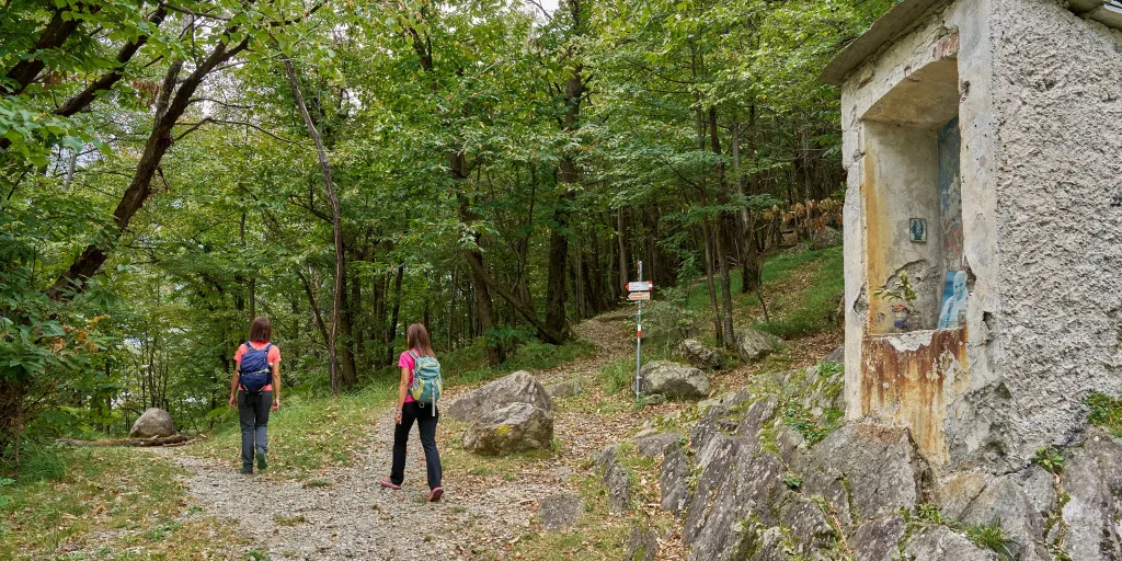
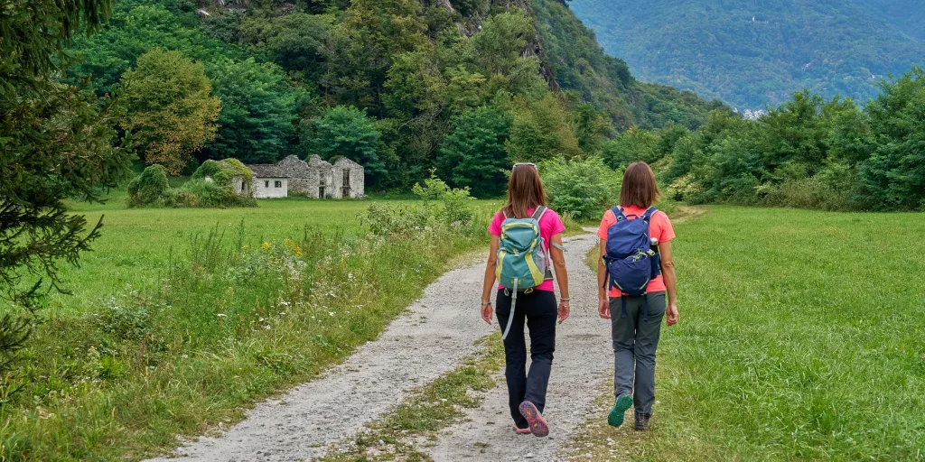
By following this route you have the opportunity to discover the ancient paths used by the “spalloni”, the smugglers who from long ago transported goods between Switzerland and Italy.

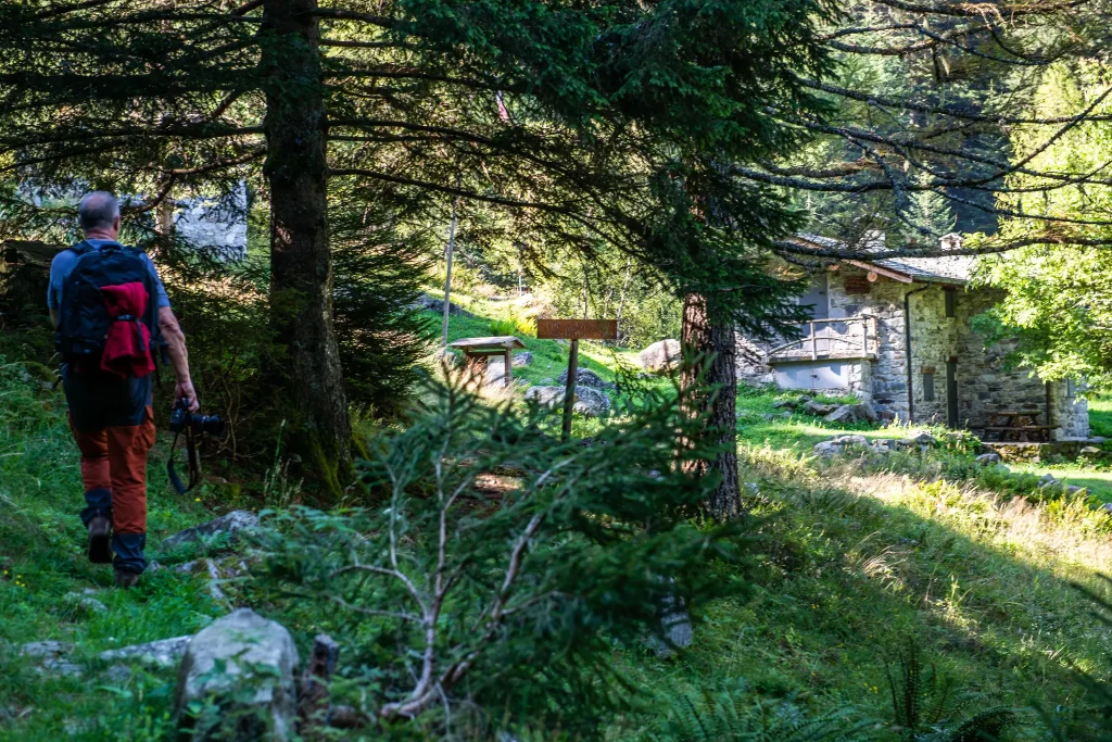
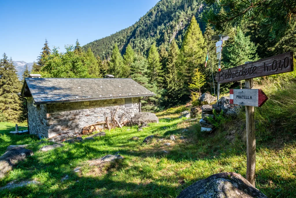
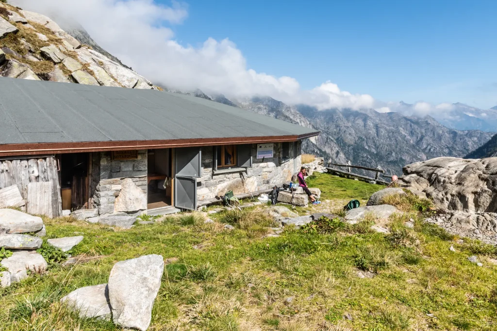
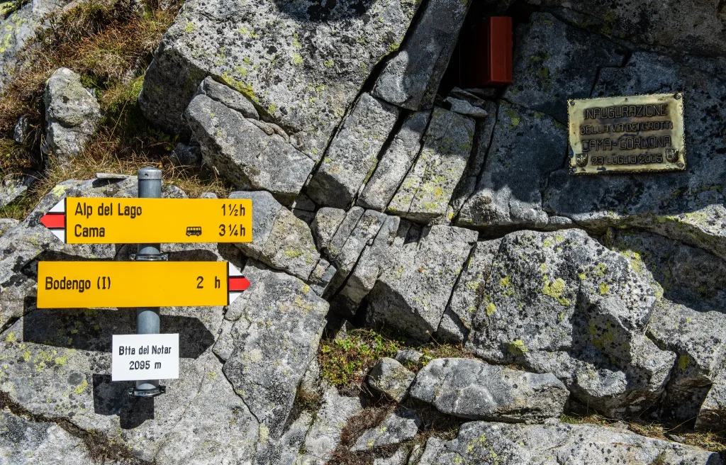
Start by car from Gordona. From here, take the road that climbs towards Val Bodengo (you need to get a pass, purchasable at the start of the climb at the village bars or online at valbodengo.shop). Upon reaching the parking lot at the end of the road (1635 m), leave the car and follow the signs marking the route to Alpe Notaro, where the namesake bivouac is located at about 1880 meters above sea level. Once at the bivouac, climb about another 200 meters in altitude until reaching 2,098 meters at the Bocchetta del Notaro.

Informations

Difficulty: Hard

Duration: 3:30 h

Distance: 7,6 km

Ascent: 864 mt

Descent: 27 mt

Highest point: 1887 mt

Lowest point: 1023 mt

Best time of year:

Jan
Feb
Mar
Apr
May
Jun
Jul
Aug
Sep
Oct
Nov
Dec

Download the GPX track
Download the KML track

How to get here

Public transport: It is possible to reach Gordona by STPS bus departing from Chiavenna.
Info www.stps.it

Getting there: It is possible to reach Gordona by car and go up to the Donadivo locality. Passage is allowed upon purchase of a permit at the village bars or on the Valbodengo shop 

Parking: Donadivo locality.

Starting point: get directions in Google Maps

Infopoint
Consorzio Turistico Valchiavenna
Piazza Caduti per la Libertà, 4
23022 Chiavenna (SO)
0343 37485
consorzioturistico@valchiavenna.com
Ring of Paiedo

Valchiavenna

Discovering a little-traveled route in a fascinating area of the valley.
Hike leading to the pretty village of Paiedo, in the territory of Samolaco.

Details

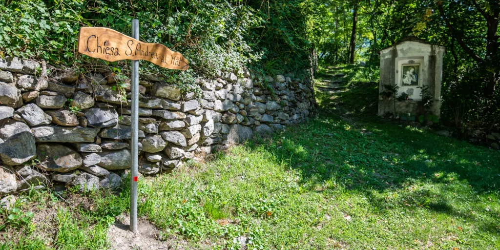
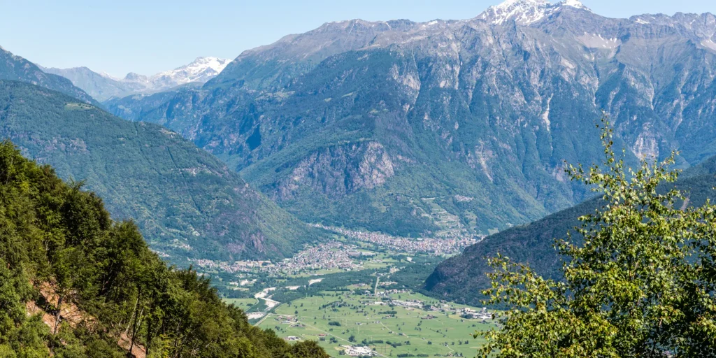
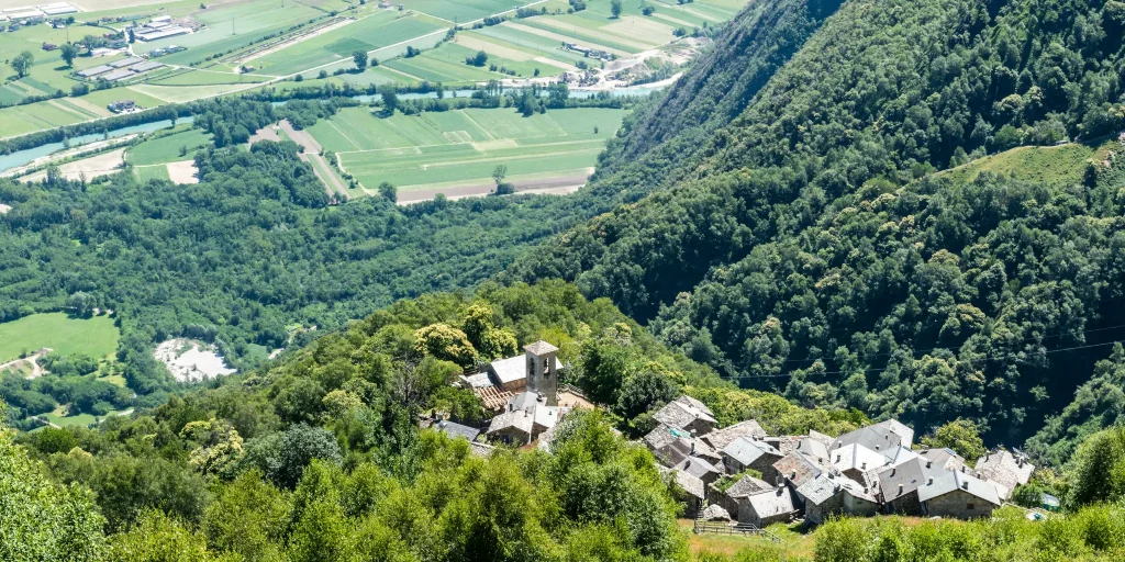
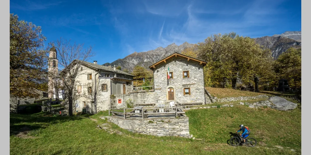
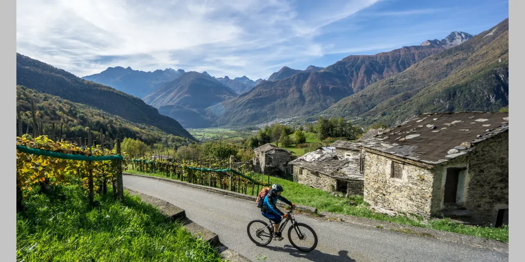
The right opportunity to visit its surroundings with an unprecedented overview of Valchiavenna under the gaze of the southwest face of Pizzo di Prata. In addition, for those who use a full bike-that is, one that has both front and rear forks-and have downhill skills, there is also a chance to ride a technical and fun track. Starting from the traffic circle in Era (a hamlet of the municipality of Samolaco) on the Trivulzia Provincial Road, we turn into Via Roma pointing to the parish church of Sant Andrea (210 m), uphill on the road that has become a consortium road in a beautiful chestnut and locust tree forest, we immediately encounter challenging gradients around 10 percent and after about two kilometers we come across a small chapel and a sign indicating that we have now arrived at another building dedicated to the saint of the same name: Sant’Andrea al Mot (elevation about 400 m). We follow the short turn and leave the bike on the rise dominated by an imposing horse chestnut tree and housing the church, its bell tower, the parish house, the 1821 cemetery and the ancient ruins of a castle. After the short visit is over, we resume pedaling through a succession of thickets. The climb is always challenging and is surrounded by chestnut and birch trees until we reach a small fountain located at about km 4.5 that allows us to fill our water bottle and catch our breath for a moment before the last effort. A little less than 7 km after the traffic circle we reach the pretty village of Paiedo (900 m): centuries-old stone buildings alternate with more modern ones. We get back on the bike and descend on the consortium road we have just traveled, lowering our altitude; after riding the first hairpin bend we notice on our left a dirt road that will take us to the hamlet of Santa Teresa. At first the road is easy and practicable by anyone then the route becomes more challenging for physical and technical abilities: up to Piazza Caprara (800 m) in fact the hike is within everyone’s reach, neophytes included, who after reaching this small nucleus can safely backtrack and descend again following the same road used uphill. For the more experienced, it is possible to continue carrying the bike luggage up to Santa Teresa (950 m, about 20 minutes) from where begins a breathtaking descent that plunges through the woods via a narrow path to the village of Monastero.

We strongly recommend a full bike and some familiarity with the descent techniques because the bottom is very bumpy and there are numerous steep sections with no protection until about 430 m where the road becomes paved again and you can safely descend back to San Pietro.

Informations

Difficulty: Hard

Duration: 3:10 h

Distance: 14,34 km

Ascent: 939 mt

Descent: 894 mt

Highest point: 967 mt

Lowest point: 219 mt

Best time of year:

Jan
Feb
Mar
Apr
May
Jun
Jul
Aug
Sep
Oct
Nov
Dec

Download the GPX track
Download the KML track

How to get here
Infopoint
Consorzio Turistico Valchiavenna
Piazza Caduti per la Libertà, 4
23022 Chiavenna (SO)
0343 37485
consorzioturistico@valchiavenna.com
Excursion to Rifugio Il Biondo

Valchiavenna

The walk aims for the refuge opened by the CAI of Barzanò in 2001. In memory of Luigi Viganò, the mountaineer who passed away in 1994 while climbing the North face of Pizzo di Prata.

Details

The commitment of the CAI members, with the support of the Prata Camportaccio Forest Consortium, gave life to a welcoming and well-organized building, to which many have attached affection and personal memories.

For those wanting to reach this destination, there are two very beautiful routes that develop on the two sides of Val Schiesone.

From Chiavenna, the path leads to Dona – Prata Camportaccio (450 m).

From here, you climb towards Lottano (654 m), extending the step towards the village of Nirola (900 m) and Pradotti (1050 m). At this point, the path turns right, heading to the heart of the valley. You need to walk about another hour to reach the 1322 meters of the Refuge.

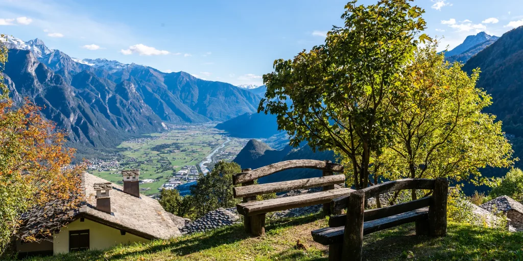
Alternatively, also from Dona, you immediately take the left orographic side (back to the mountain) and reach the first cluster, Stoveno (700 m). The path climbs towards Pradella (999 m), from where you then ascend to the refuge. The beauty of this walk lies in the magnificent scenery offered by the northern face of Pizzo di Prata (2727 m) and the many views it offers along the route.

Fascinating and enchanting, the ascent to Rifugio Il Biondo is a beautiful experience, to be enjoyed on a sunny summer day.

Informations

Difficulty: Medium

Duration: 4:05 h

Distance: 6,8 km

Ascent: 1113 mt

Descent: 128 mt

Highest point: 1355 mt

Lowest point: 320 mt

Best time of year:

Jan
Feb
Mar
Apr
May
Jun
Jul
Aug
Sep
Oct
Nov
Dec

Download the GPX track
Download the KML track

How to get here

Public transport: Chiavenna is reachable by train (Trenord Line Colico – Chiavenna), by STPS bus from Sondrio, or from Switzerland by Autopostale (line St. Moritz – Chiavenna).

Getting there: By car, it is possible to reach Chiavenna from the south via the S.S.36 (Milan – Lecco – Colico) and from Como via S.S.340 Regina; from the north from Passo Spluga (winter closure) and from the Maloja pass via S.S. 37.

Parking: Large and free parking on via Principe Amedeo, Chiavenna (behind the railway station).

Starting point: get directions in Google Maps

Infopoint
Consorzio Turistico Valchiavenna
Piazza Caduti per la Libertà, 4
23022 Chiavenna (SO)
0343 37485
consorzioturistico@valchiavenna.com
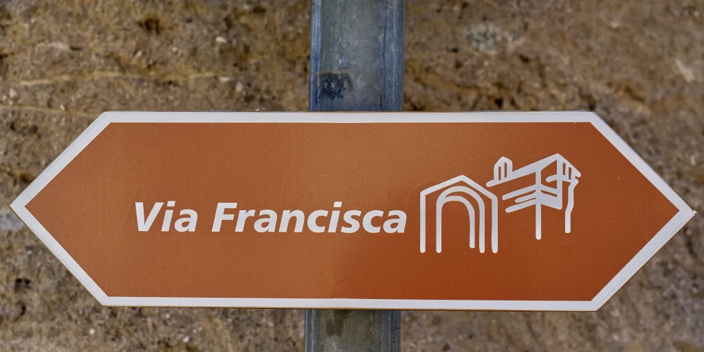
Via Francisca – From Chiavenna to Samolaco

Valchiavenna

In recent years the Via Francisca has been reevaluated by many trekking enthusiasts.
The route, about 37 kilometers long in total, crosses the entire Valchiavenna and offers remarkable naturalistic insights to its visitors, as well as passing through ancient uninhabited villages. The entire trail is signposted and safe, and is a worthwhile route to discover in all seasons.
For those coming from the north, the Via Francisca is a natural continuation of the ViaSpluga.
Among the most interesting points, in addition to the beautiful town of Chiavenna, it is worth mentioning the Pian di Spagna Reserve, the small temple of San Fedelino and the old Colombée tower restored by the municipality of San Pietro di Samolaco, which now houses a small ethnographic museum set up in October 2008 by the Samolaco Library Cultural Association. The trail is part of the itineraries "Le Vie del Viandante" 12 of the most beautiful and special paths that wayfarers have traced over the centuries: from Switzerland to Valchiavenna immersing a striking alpine scenery, to little-known villages on the eastern shore of Lake Como.

Details

Stage 1 – Chiavenna to Samolaco

We leave Chiavenna along the long straight stretch of Via Volta until we cross the bridge over the Liro stream, after which we turn right entering San Mamete. We descend to the Mese power plant and then climb up to Coloredo locality, where we cross the Crezzo stream to enter Gordona. We leave the village along Via Piazzoli and Via Segname to take the path that leads to the ancient Boggia chapel. Here we can choose to take either the low or the high variant, which is definitely more challenging.

The low variant follows the path of the Boggia stream to its confluence with the Mera River, which we follow to the fortified farmstead of Cesura. We soon reach San Pietro where we rejoin the high variant.

We pass the Culumbée Ethnographic Museum and the church dedicated to San Pietro to descend on the left the steps of the Stradina delle Fontane to the Peremonte road, which we follow to the right. Near a curve to the left we continue straight along a path that leads us to ford the Bolgadregna stream near Nogaredo. We continue along the path past the Era Valley until we reach the paved road that descends to the hamlet of Era.

Informations

Difficulty: Medium

Duration: 4:00 h

Distance: 12,93 km

Ascent: 200 mt

Descent: 311 mt

Highest point: 332 mt

Lowest point: 216 mt

Best time of year:

Jan
Feb
Mar
Apr
May
Jun
Jul
Aug
Sep
Oct
Nov
Dec

Download the GPX track
Download the KML track

How to get here

Public transport: It is possible to reach Chiavenna via TRENORD connection Colico – Chiavenna line.
For schedules https://www.trenord.it/

Getting there: Chiavenna can be reached by car from Milan by following the SS36.

Parking: Free parking on Principe Amedeo Street (behind train station) or large parking lot/RV area near the Sports Field, Falcone and Borsellino Street.

Starting point: get directions in Google Maps

Infopoint
Consorzio Turistico Valchiavenna
Piazza Caduti per la Libertà, 4
23022 Chiavenna (SO)
0343 37485
consorzioturistico@valchiavenna.com
Alpe Cermine from Gordona

Valchiavenna

Difficult road bike ride. Good training required. Surfaces mostly paved and easy to bike on.

Details

With a length of about kilometers, a positive elevation gain of 1,000 meters and an average gradient close to 11 percent, the climb from Gordona to Alpe Cermine is certainly no walk in the park. However, the effort is rewarded by countless exciting views of the entire Valchiavenna valley.

Informations

Difficulty: Medium

Duration: 1:10 h

Distance: 9,21 km

Ascent: 543 mt

Descent: 543 mt

Highest point: 1297 mt

Lowest point: 754 mt

Download the GPX track
Download the KML track

How to get here
Infopoint
Consorzio Turistico Valchiavenna
Piazza Caduti per la Libertà, 4
23022 Chiavenna (SO)
0343 37485
consorzioturistico@valchiavenna.com

Prata Camportaccio to Uschione

Valchiavenna

The asphalt route is short but intense.

Details

After the short detour to Lotteno, continue on and you reach the small but characteristic villages of Uschione and Nesossi.

For those who wish, one can continue for a few more kilometers toward Monte Pradella in view of Val Bregaglia, or take, before Uschione, the second detour to the right, which enters the valley of the Schiesone stream dominated by Pizzo di Prata, and ascends to Alpe Pradotti and Alpe Belvedere.

Informations

Difficulty: Medium

Duration: 1:10 h

Distance: 10,34 km

Ascent: 519 mt

Descent: 519 mt

Highest point: 835 mt

Lowest point: 316 mt

Best time of year:

Jan
Feb
Mar
Apr
May
Jun
Jul
Aug
Sep
Oct
Nov
Dec

Download the GPX track
Download the KML track

How to get here
Infopoint
Consorzio Turistico Valchiavenna
Piazza Caduti per la Libertà, 4
23022 Chiavenna (SO)
0343 37485
consorzioturistico@valchiavenna.com

Tower of Signame

Valchiavenna

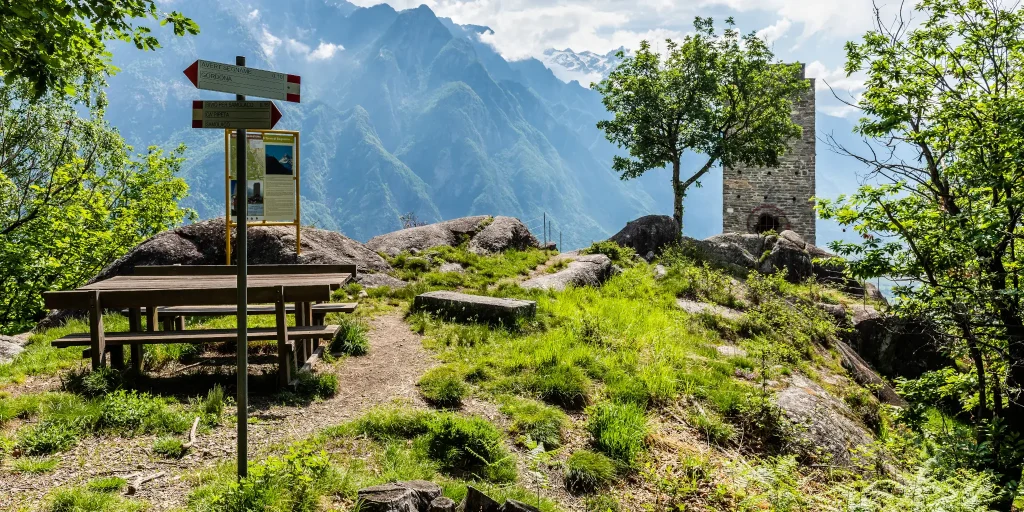
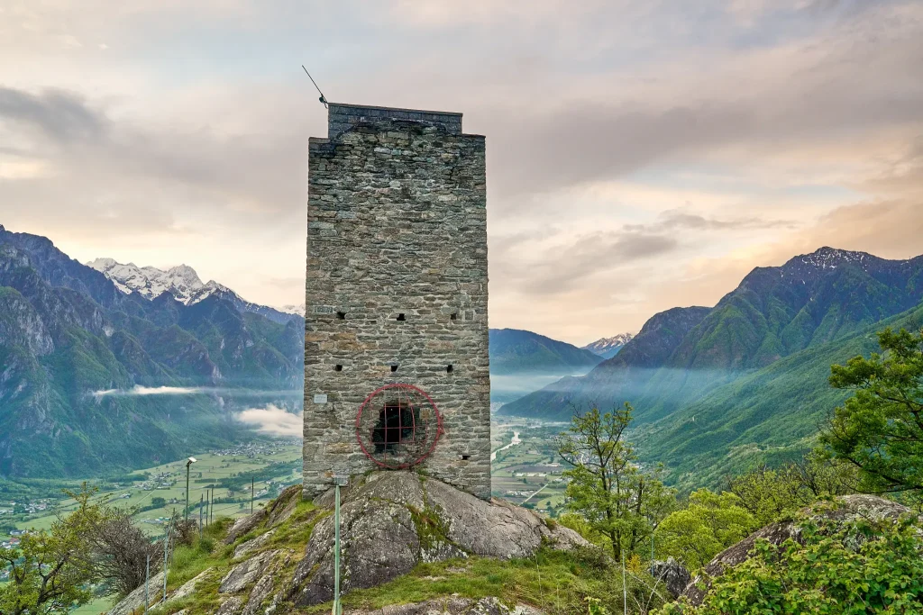
From up here in ancient times, lookouts observed the entire valley, in connection with other posts located in strategic places that have now become hiking destinations suitable for everyone. Although centuries have passed since its construction, even today the Segname Tower does not go unnoticed by those who travel through Valchiavenna.

Details

Lonely, on top of the mighty rocky spur overlooking the right bank of the valley, between Gordona and San Pietro di Samolaco, this construction draws the attention of many.

The construction dates back to the second half of the 12th century and was part of a complex system of sighting and signaling of possible invaders.Easily reached on foot, it is absolutely worth a visit if only for the splendid view it offers once you reach its summit.

The trail is well-marked and starts from the Boggia locality in Gordona, climbing up the slope, with a noteworthy gradient (it is possible to start the route from the Church Square in Gordona).

Gradually the path becomes gentler as you approach the ridge, limiting the view of the valley because of the birch thickets you pass along the way.The arrival at the summit holds an extraordinary surprise. The view runs from the mouth of the Spluga and Bregaglia valleys to the peak of Legnone overlooking Lake Como. From here, soldiers dominated the entire Valchiavenna, ready to signal with fires to nearby towers, the arrival of enemies from new territories. The tower can also be visited internally, and an equipped staircase, allows you to climb to its top.

It is worth considering a loop route that touches both approaches so as to fully appreciate the various interesting locations (e.g. Cà Pipeta)..

Possible departure or arrival from Loc. Ronscione in Samolaco.

Informations

Difficulty: Medium

Duration: 1:10 h

Distance: 2,23 km

Ascent: 294 mt

Descent: 48 mt

Highest point: 552 mt

Lowest point: 258 mt

Best time of year:

Jan
Feb
Mar
Apr
May
Jun
Jul
Aug
Sep
Oct
Nov
Dec

Download the GPX track
Download the KML track

How to get here

Public transport: It is possible to reach Gordona by bus connection STPS line.
For schedules click here

Starting point: get directions in Google Maps

Infopoint
Consorzio Turistico Valchiavenna
Piazza Caduti per la Libertà, 4
23022 Chiavenna (SO)
0343 37485
consorzioturistico@valchiavenna.com

Verceia Mine Gallery: First World War Fortifications in Valchiavenna

Valchiavenna

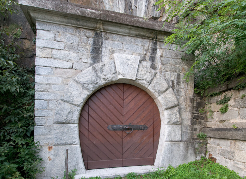
Silence often speaks louder than words, and the mountains preserve the memories of people and distant times. In Verceia, at the entrance to Valchiavenna, the Mine Gallery tells the story of the First World War through an underground structure built between 1916 and 1917 by the Italian military to defend the area against potential invasions.

Details

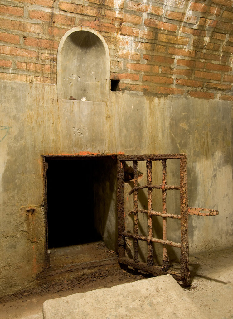
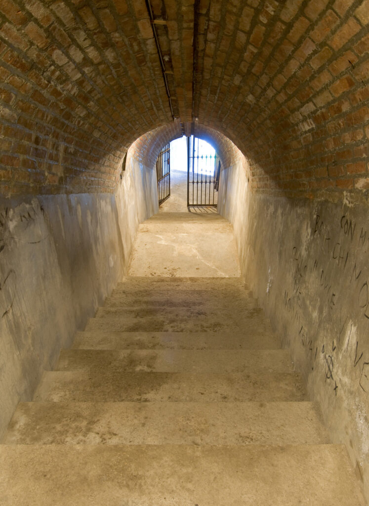
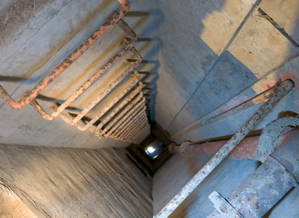
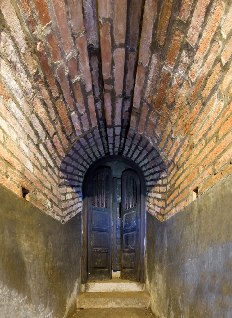
Walking through the 200-metre main tunnel, visitors enter an atmosphere suspended in time. The echo of footsteps recalls those of the soldiers once responsible for maintaining the gallery. It is easy to imagine the vast quantities of explosives stored in the flooded shafts, ready to sever road and railway connections if necessary. The underground labyrinth includes four branches, eighteen secondary passages, sixteen mine shafts, six chambers, three ventilation ducts and four cisterns, all remarkably well preserved.

Once a secret and strategic military site, the gallery has become a cultural and tourist attraction open to the public through guided tours. Its entrance overlooks Lake Mezzola and faces the Pian di Spagna Nature Reserve, connecting to the historic Strada dei Cavalli route.

The Mine Gallery is more than a military relic. It stands out for the quality of its construction, the precision of its engineering and its extraordinary state of preservation.

Informations
Verceia Mine Gallery: First World War Fortifications in Valchiavenna
23020 Verceia (SO) - Italia
0341 940322
info@fortemontecchionord.it
Go to the website

Opening Dates
20, 21 and 25 April
1 May
2 June
15 August and every Sunday in August

Admission
Full ticket: €4.00
Reduced ticket: €3.00 (up to 17 years old)

Infopoint
Consorzio Turistico Valchiavenna
Piazza Caduti per la Libertà, 4
23022 Chiavenna (SO)
0343 37485
consorzioturistico@valchiavenna.com

Mese Milk Museum: dairy traditions in Valchiavenna

Valchiavenna

The memory of a village can be found in everyday gestures: in milk being poured, in the hands that processed it and, in the tools, used by generations. In Mese, along the village’s main street, the Milk Museum preserves this heritage, linking past and present through a simple yet essential tradition.

Details

The building, now home to the municipal library, once housed the village dairy. Here, among bookshelves and reading spaces, two rooms display the traditional equipment used to transform fresh milk into butter, cheese and dairy products, allowing visitors to discover a world that once stood at the heart of local daily life.
The museum is more than a collection of objects: it is a bridge between generations and a tangible account of Mese’s rural culture. Every tool, vat and mould reflects the work, patience and dedication of the families who helped shape the community. Visiting the museum means experiencing the village’s history and understanding how simple gestures can become collective memory.

Informations
Mese Milk Museum: dairy traditions in Valchiavenna
Via don Lucchinetti (incrocio con Via Piatti)
23020 Mese (SO) - Italia
0343 41000
biblioteca@comunemese.gov.it

Opening Hours
Wednesday: 9:00 am – 12:00 pm
Thursday and Friday: 2:00 pm – 5:00 pm
Visits by appointment through the municipal offices.

Admission
Free entry.

Infopoint
Consorzio Turistico Valchiavenna
Piazza Caduti per la Libertà, 4
23022 Chiavenna (SO)
0343 37485
consorzioturistico@valchiavenna.com

Val Codera Museum: history, nature and alpine traditions

Valchiavenna

This is a place where nature and history intertwine in a unique balance, where walking means travelling through centuries of daily life and Alpine traditions. Val Codera, a valley without road access yet inhabited all year round, is one such place: a small corner of the world where the past survives through the memories of its inhabitants.

Details

Founded in 1982 by the Associazione Amici della Val Codera ONLUS and officially recognised by the Lombardy Region, the Val Codera Historical, Ethnographic and Natural History Museum presents the valley as an Eco museum, with exhibits spread across the villages of Codera and San Giorgio, both reachable only on foot. Here, every visit becomes a journey through unspoilt landscapes and ancient stone houses.

In Codera, on the ground floor of Casa di Valle and in two adjacent buildings, visitors can explore sections dedicated to domestic life, featuring traditional furniture, tools and household objects; textile fibre processing on looms; livestock farming and dairy production; the chestnut culture that sustained Alpine communities for centuries; traditional schooling; and local craftsmanship. There is also a mineralogical section displaying valuable specimens found in the valley, including aquamarine and garnet.

In San Giorgio, a traditional stone house hosts the historical section, featuring testimonies from the Thirty Years’ War and photographs of village life. One area is dedicated to Sanfedelino granite, with tools and images documenting its extraction and processing, complemented by an outdoor reconstruction of the working environment of the picapréda, the stonecutters who shaped the life and landscape of the valley for centuries.

Visiting the museum means walking between memory and nature, discovering how generations of men and women lived, worked and endured in a unique environment where every stone tells a story of effort, ingenuity and connection to the mountains.

Informations
Val Codera Museum: history, nature and alpine traditions
Frazione di Codera
23025 Novate Mezzola (SO) - Italia
0343 62037
info@valcodera.com
Go to the website

Opening Hours
From 1 March to 10 January 2025
Daily: 8:00 am – 6:00 pm
Evening openings are organised during the monthly “Salita al Plenilunio” event and on request for groups of at least 5 people.

Admission
Free donation.

Search in the website