
Valchiavenna
Discovering a little-traveled route in a fascinating area of the valley.
Hike leading to the pretty village of Paiedo, in the territory of Samolaco.
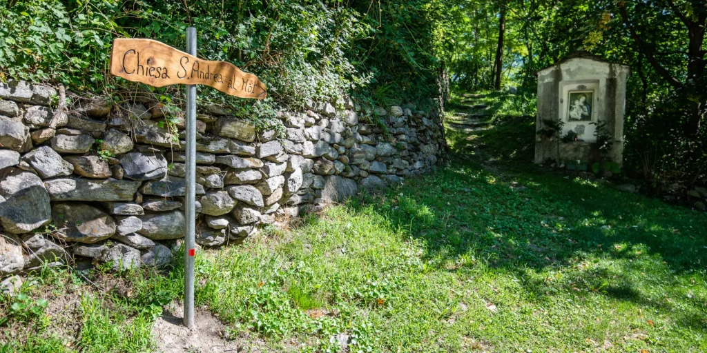
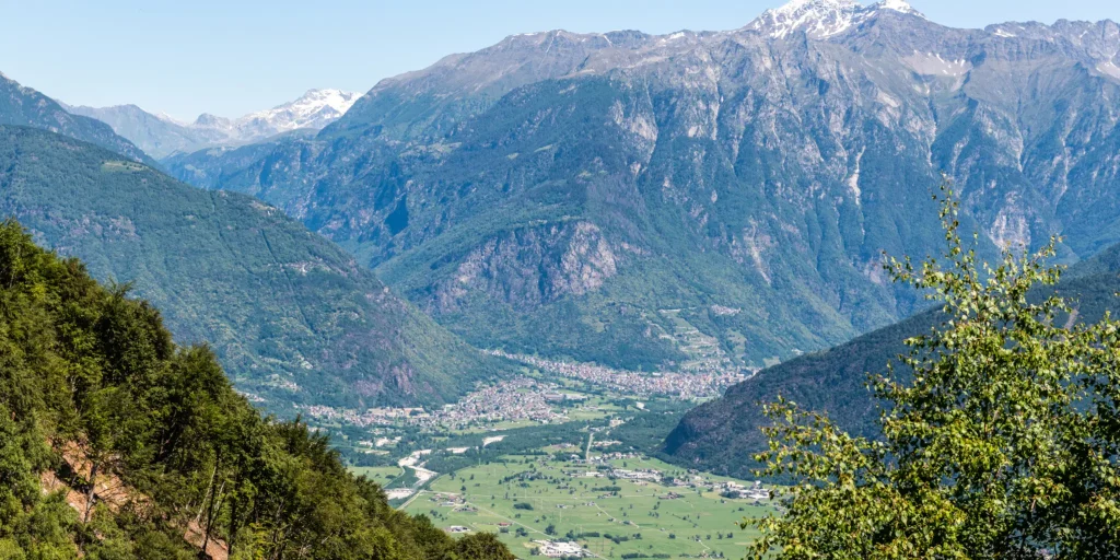
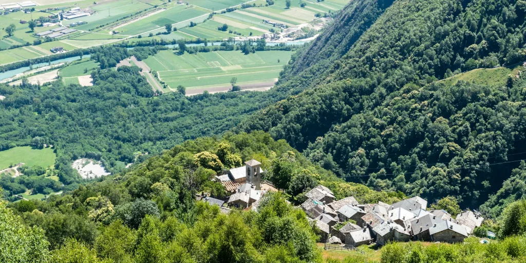
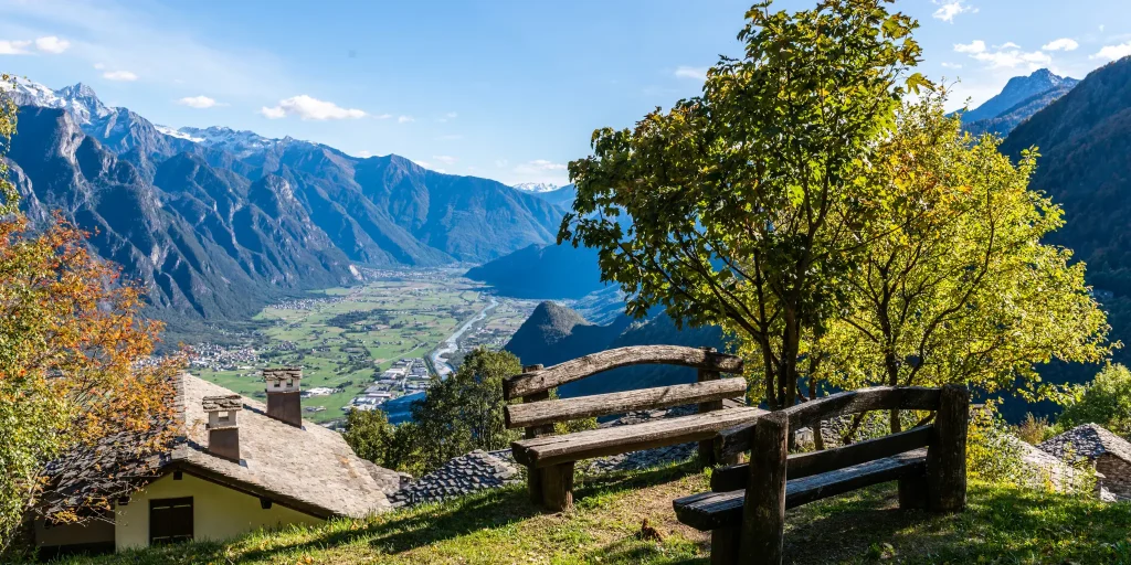
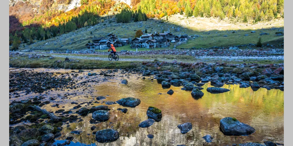
The right opportunity to visit its surroundings with an unprecedented overview of Valchiavenna under the gaze of the southwest face of Pizzo di Prata. In addition, for those who use a full bike-that is, one that has both front and rear forks-and have downhill skills, there is also a chance to ride a technical and fun track. Starting from the traffic circle in Era (a hamlet of the municipality of Samolaco) on the Trivulzia Provincial Road, we turn into Via Roma pointing to the parish church of Sant Andrea (210 m), uphill on the road that has become a consortium road in a beautiful chestnut and locust tree forest, we immediately encounter challenging gradients around 10 percent and after about two kilometers we come across a small chapel and a sign indicating that we have now arrived at another building dedicated to the saint of the same name: Sant’Andrea al Mot (elevation about 400 m). We follow the short turn and leave the bike on the rise dominated by an imposing horse chestnut tree and housing the church, its bell tower, the parish house, the 1821 cemetery and the ancient ruins of a castle. After the short visit is over, we resume pedaling through a succession of thickets. The climb is always challenging and is surrounded by chestnut and birch trees until we reach a small fountain located at about km 4.5 that allows us to fill our water bottle and catch our breath for a moment before the last effort. A little less than 7 km after the traffic circle we reach the pretty village of Paiedo (900 m): centuries-old stone buildings alternate with more modern ones. We get back on the bike and descend on the consortium road we have just traveled, lowering our altitude; after riding the first hairpin bend we notice on our left a dirt road that will take us to the hamlet of Santa Teresa. At first the road is easy and practicable by anyone then the route becomes more challenging for physical and technical abilities: up to Piazza Caprara (800 m) in fact the hike is within everyone’s reach, neophytes included, who after reaching this small nucleus can safely backtrack and descend again following the same road used uphill. For the more experienced, it is possible to continue carrying the bike luggage up to Santa Teresa (950 m, about 20 minutes) from where begins a breathtaking descent that plunges through the woods via a narrow path to the village of Monastero.
We strongly recommend a full bike and some familiarity with the descent techniques because the bottom is very bumpy and there are numerous steep sections with no protection until about 430 m where the road becomes paved again and you can safely descend back to San Pietro.
Difficulty: Hard
Duration: 3:10 h
Distance: 14,34 km
Ascent: 939 mt
Descent: 894 mt
Highest point: 967 mt
Lowest point: 219 mt
Best time of year:
Starting point: get directions in Google Maps
Piazza Caduti per la Libertà, 4
23022 Chiavenna (SO)
0343 37485
consorzioturistico@valchiavenna.com
Valchiavenna
Related experiences

Pump Track Valchiavenna: Bike, BMX and Two-Wheel Skills
In recent years, Valchiavenna has increasingly invested in outdoor cycling activities, complementing its Alpine routes and mountain trails with new spaces dedicated to learning and technical skills. The pump track was created with this purpose: to provide an inclusive environment where people can safely learn to ride, improve their bike handling and develop balance and […]

Valchiavenna Cycle Path
Running along the valley floor and following the course of the Mera River, the Valchiavenna Cycle Path offers one of the most accessible and immersive ways to explore the territory between Lake Como and Chiavenna. The route crosses a variety of natural settings, alternating river sections, green areas, small villages and alpine views for much […]
Ascent from Era to Paiedo
The climb begins in Era, the capital of the municipality of Samolaco, at km 5 of provincial road 2 (“Trivulzia”). It is necessary to be very careful in the first part: you must first go along via Roma and, when you arrive at the fork after the bridge, follow the signs for the church on […]
Rowing
The climb starts from the fork in the Trivulza Provincial Road (km 11.6), just before the bridge over the Crezza stream, where a right turn toward Coloredo and Menarola marks the beginning of the adventure. The initial route skirts the crystal-clear waters of the Crezza, which rushes down from the Forcola Valley, offering striking views […]
Ascent in Val Bodengo
The adventure begins already on the Trivulzia Provincial Road: even the 800 meters before the junction for Valbodengo have uphill characteristics for those coming from Colico. At the crucial junction before the bridge over the Crezza stream, a left turn towards Valbodengo marks the entrance into a different world. The first stretch through Gordona still […]

Hotel
Comfortable stays in the heart of Valchiavenna, combining hospitality, services and Alpine landscapes to experience in every season.

Bed & breakfast
Small properties and welcoming atmospheres to experience Valchiavenna simply, with authentic hospitality and a strong connection to the local area.

Holiday homes
Independent accommodation solutions to feel at home even on holiday and discover Valchiavenna at your own pace.

Mountain huts and campsites
Hospitality immersed in nature, among local traditions, mountain life and the pleasure of experiencing the area more closely.