Consorzio per la promozione turistica della Valchiavenna

Stazione Ferroviaria Chiavenna
Piazza Caduti per la Libertà
23022 Chiavenna (SO)
consorzioturistico@valchiavenna.com

Parco Archeologico Botanico Del Paradiso in Chiavenna

Valchiavenna

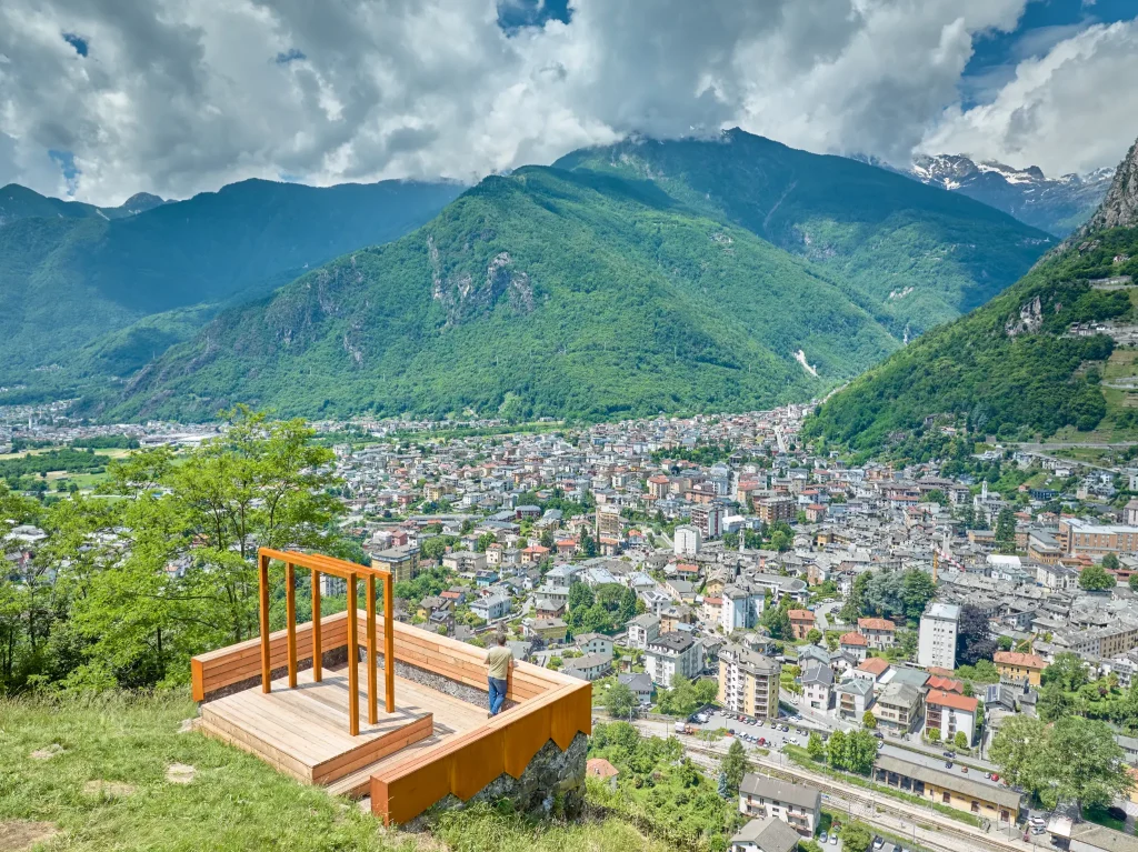
Set in a breathtaking panoramic position overlooking Chiavenna and the surrounding valleys, the Parco Archeologico Botanico del Paradiso is a place where nature and history come together in a timeless embrace.

Details

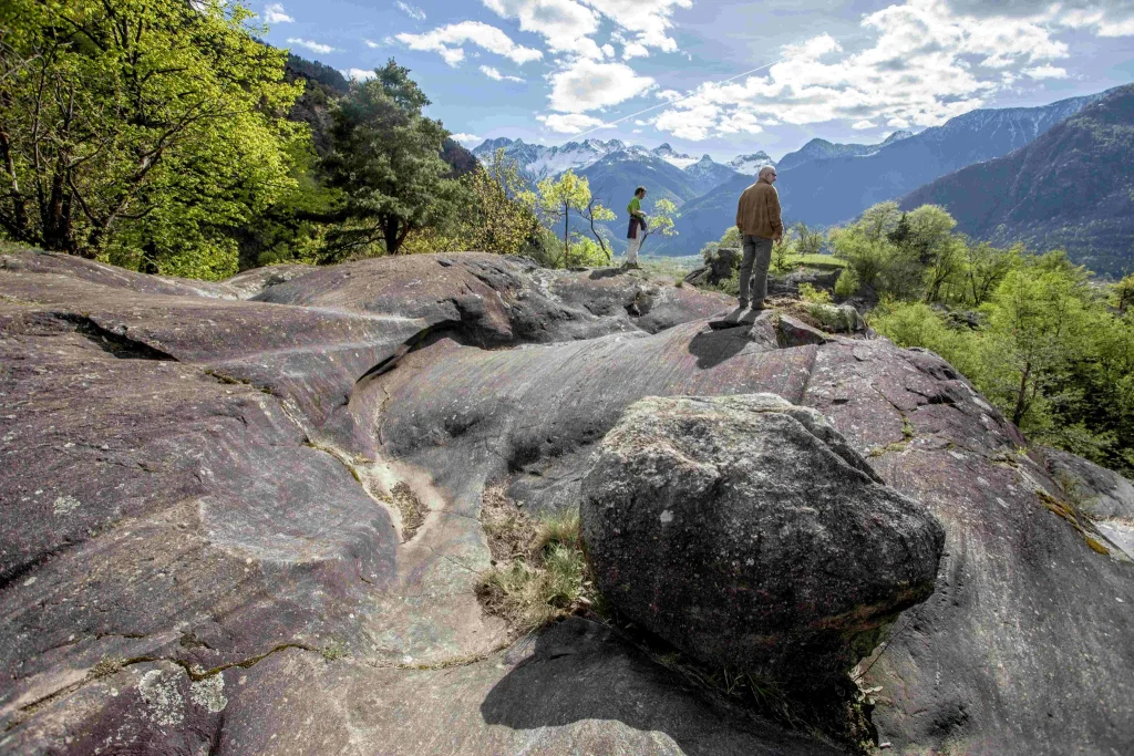
The two hills known as “Paradiso” and “Castellaccio”, separated by the deep Caurga gorge and connected by a suspended footbridge, offer a route through trails, glacier-shaped rocks, and spectacular viewpoints.

Since 1955, the park has been part of the Museum of Valchiavenna and represents a remarkable combination of natural and archaeological heritage. Giant potholes, erosion channels, and glacially smoothed rock formations reveal the power of nature, while rare flowers and exotic plants enrich the landscape. Ancient walls, fortifications, and soapstone pavements tell the story of the valley’s inhabitants. The park also lies within the Riserva Naturale delle Marmitte dei Giganti, one of the most significant geological areas in Valchiavenna.

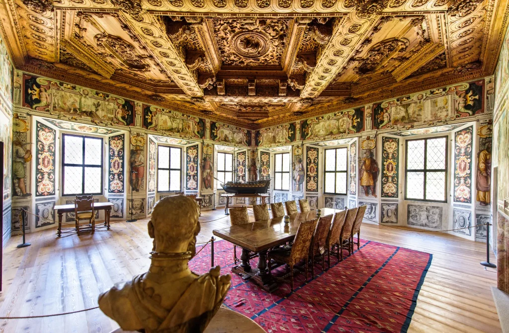
Within the Archaeological Museum of Valchiavenna, the exhibition route guides visitors through the history of the territory with artefacts, reconstructions, and educational displays illustrating the lives of local communities over time. From soapstone craftsmanship and quarrying activities in the Caurga area to settlements and landscape transformations, the museum offers an in-depth interpretation of the relationship between people and the Alpine environment, highlighting the natural resources and activities that shaped the valley’s development.

Across four thematic sections—from Prehistory to the Roman period, from soapstone as a local resource to Late Antiquity and the Early Middle Ages—large illustrated panels and archaeological finds bring everyday life and traditional activities back to life. Each section is identified by a distinctive colour, guiding visitors through a unique cultural and sensory experience.

The park and museum are not only a journey through time, but also an invitation to discover Valchiavenna from a new perspective and to experience its history carved into rock, flowers, paths, and the winds that sweep through its valleys.

Informations

Visitor Information
Opening Hours
30 March 2026 – 25 October 2026

Tuesday to Sunday: 10:00–12:00 and 14:00–18:00
Monday: Closedù

Last admission 30 minutes before closing time.

Admission Fees
Full ticket: €3.00
Reduced ticket: €1.50
– Students
– School groups
– Groups of at least 15 people
– Visitors over 60

Dogs are permitted if kept on a leash.

Infopoint
Consorzio Turistico Valchiavenna
Piazza Caduti per la Libertà, 4
23022 Chiavenna (SO)
0343 37485
consorzioturistico@valchiavenna.com

Sanctuary of Our Lady of Loreto in Chiavenna

Valchiavenna

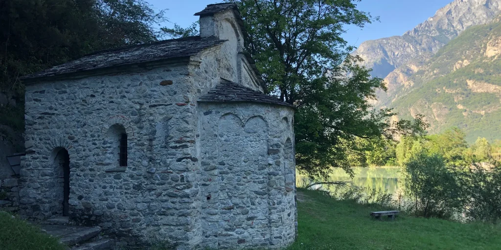
The Sanctuary of Our Lady of Loreto in Chiavenna is a place where faith and art meet, blending history, devotion and landscape into a single experience. Nestled among the vineyards of the Rhaetian Alps, this sanctuary tells centuries of dedication and care, of hands that built and decorated, and of communities that brought their devotion here, making it a symbol of Lombard spirituality.

Details

Built in 1618, the sanctuary was inspired by the Holy House of Loreto, which arrived in Italy from Tersatto and originally from Palestine. The foundation stone was laid on 27 March of the same year by Archpriest Giovan Pietro Paravicini, who blessed the chapel on 5 July and donated a wooden statue of the Madonna and Child crafted in Milan.

Despite the challenges of the period, including the devastating Piuro landslide of September 1618, the generosity of the faithful allowed the church to expand with side chapels and two elegant bell towers, eventually leading to the construction of the balcony completed in 1730.

Inside the Holy House, an altar made of walnut burl still houses the seventeenth-century statue of the Madonna and Child created by Brother Giuseppe da Molteno. Nearby, other artworks celebrate Marian devotion, including The Annunciation by Giacomo Guglielmetti (1716) and sixteen paintings depicting episodes from the Virgin Mary’s life commissioned by local families. Additional altars and statues come from suppressed churches, including those dedicated to Saint Rosalia and Saint Peter, silent witnesses to a deeply rooted religious past.

The oldest and most valuable works, now preserved in the Treasury of Chiavenna’s Collegiate Church, include seventeenth-century oil paintings depicting the Madonna and Child with saints and The Coronation of the Virgin, attributed to brothers Giovan Battista and Giovan Paolo Recchi. Alongside the sacred figures, the patrons who commissioned the works are also portrayed, reflecting the private devotion that shaped the sanctuary’s history.

Among statues, carved woodwork and precious paintings, the sanctuary preserves its historic soul and remains an essential destination for visitors seeking not only spirituality, but also beauty and the living memory of a past that continues to endure among the Rhaetian Alps.

Infopoint
Consorzio Turistico Valchiavenna
Piazza Caduti per la Libertà, 4
23022 Chiavenna (SO)
0343 37485
consorzioturistico@valchiavenna.com

Bottonera Mill in Chiavenna

Valchiavenna

The Bottonera Mill tells a story of work, ingenuity and memory. Accompanied by the sound of water and the constant movement of machinery, this site played a central role in the life of Valchiavenna for decades, symbolising a time when craftsmanship and the power of nature worked hand in hand.

Details

Founded in 1867, the mill stands in the artisan district of Bottonera in Chiavenna. Spread across three floors and powered by a complex system of pulleys, belts and millstones, it operated continuously day and night. The work was overseen by the head miller, supported by workers responsible for monitoring the machinery and filling sacks with flour, bran and other milled products.

The mill was established next to the pasta factory founded by Carlo Moro and soon became an important part of the local economy. For generations, it provided employment and stability for many families in the valley. Operations ceased during the 1960s, but the complex has survived almost intact, remaining a valuable example of industrial archaeology.

Its revival is the result of the combined efforts of public institutions and, above all, volunteers, who dedicated thousands of hours of unpaid work to restoring both the building and its machinery. Today, the mill is open as a museum where visitors can discover the traditional grain-processing cycle, from cleaning and milling to the production of flour, semolina and bran.

Walking through its rooms among wooden beams, hoppers and historic machinery, visitors can still sense the rhythm of work that once never stopped. The Bottonera Mill is not simply a restored building, but a fragment of history that continues to tell the story of work, community and memory in Valchiavenna.

Informations

Temporarily closed for restoration works.

Infopoint
Consorzio Turistico Valchiavenna
Piazza Caduti per la Libertà, 4
23022 Chiavenna (SO)
0343 37485
consorzioturistico@valchiavenna.com

Spluga Pass from Chiavenna

Valchiavenna

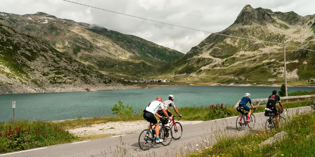
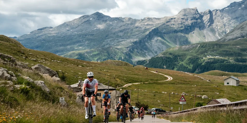
Valchiavenna's most iconic climb, which in about 30 kilometers, over 1,850 meters of positive elevation gain and an average gradient of almost 6 percent, takes you to the conquest of the Spluga Pass. Between hairpin bends and tunnels, the road offers unforgettable views at every turn.

Details

A walk through the streets of downtown Chiavenna to admire historic buildings, museums and stores is definitely a good idea before getting on the bike.

Leaving the heart of the town, you begin to climb in altitude, facing a first sloping section at the height of the nucleus of Bette.

It continues uphill alongside the Liro Torrent, crossing the villages of San Giacomo Filippo, Gallivaggio with the shrine dedicated to the apparition of October 10, 1942, Lirone and Cimaganda.

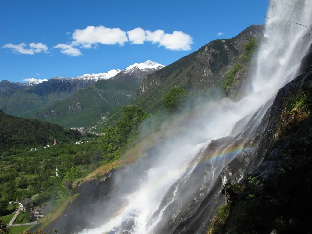
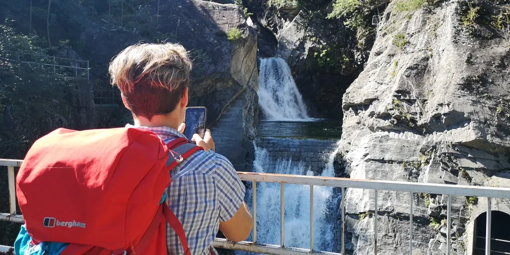
When you reach the Campodolcino plain, you will face a flat section before riding the historic ten hairpin bends leading to Pianazzo. Along the way you will have the opportunity to admire the waterfall with a 180-meter drop. Shortly after, you meet the junction that on the right leads to the renowned tourist resort of Madesimo, while on the left begin the hairpin bends and tunnels of the Andossi from where you can enjoy a beautiful view of the entire upper Vallespluga. You then reach the artificial lake of Montespluga, the village of the same name, and the last steep hairpin bends that climb up to the Spluga Pass.

For many centuries the Spluga Pass saw the incessant transit, all year round, of wayfarers, beasts of burden, wagons and carriages. Shortly after the construction of the Spluga road, in 1823, for safety purposes during the winter period, the important avalanche protection tunnel south of the tollhouse was built. It now represents one of the last vestiges of the massive roadwork effort undertaken in the 19th century to keep ahead of the dangers of winter.

Finds from the Bronze and Iron Ages indicate that the Spluga Pass was traversed as early as prehistoric times. The name “spluga” is quite common in Valchiavenna and stands for mountain locations; it comes from “spelu(n)ca,” meaning spelonca, cave.

Informations

Difficulty: Hard

Duration: 4:10 h

Distance: 30,44 km

Ascent: 1909 mt

Descent: 119 mt

Highest point: 2114 mt

Lowest point: 324 mt

Best time of year:

Jan
Feb
Mar
Apr
May
Jun
Jul
Aug
Sep
Oct
Nov
Dec

Download the GPX track
Download the KML track

How to get here
Infopoint
Consorzio Turistico Valchiavenna
Piazza Caduti per la Libertà, 4
23022 Chiavenna (SO)
0343 37485
consorzioturistico@valchiavenna.com

Chiavenna to Pianazzola

Valchiavenna

A sun-kissed climb.
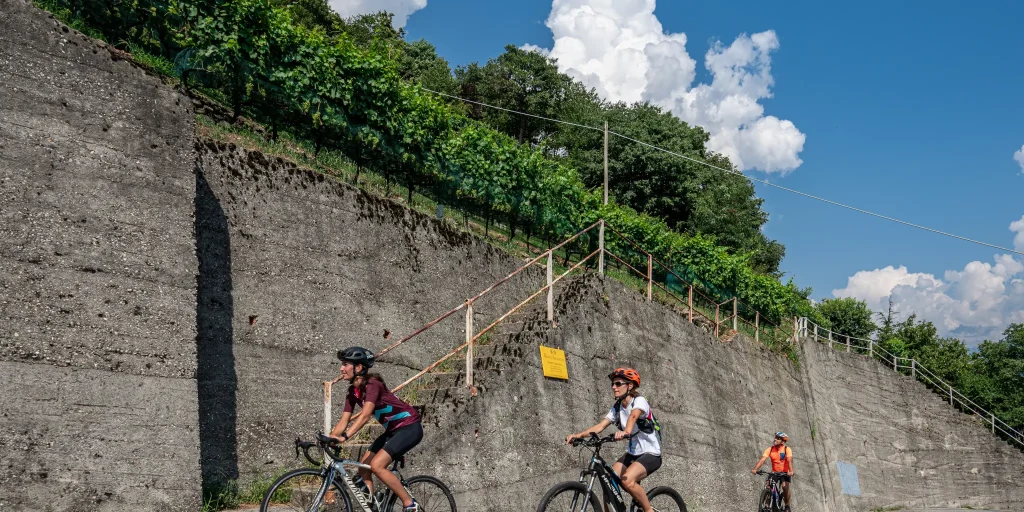
Arriving in Chiavenna, the cyclist's eye is immediately drawn to the vineyard-tilled bank above the town.

Details

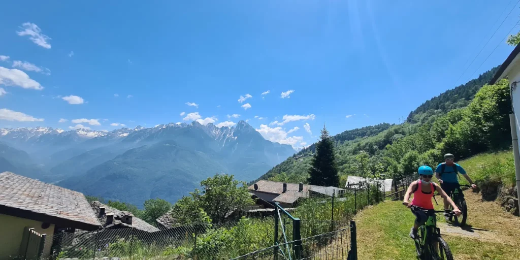
At the top, gathered in a few houses, stands the village of Pianazzola, sun-kissed even in winter and nestled in a scenic spot.

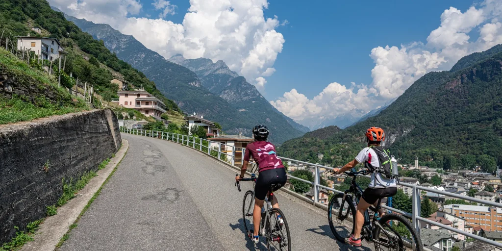
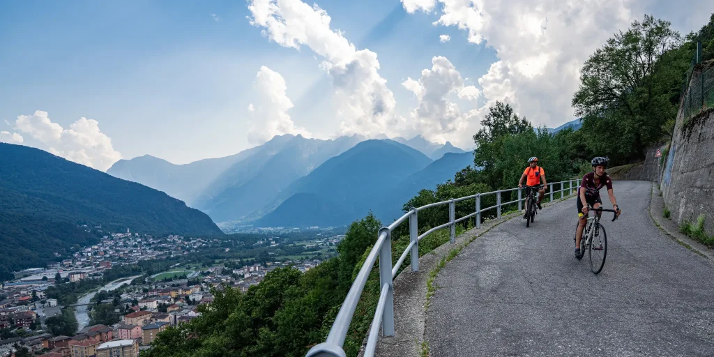
The itinerary starts from the center of Chiavenna, nine are the hairpin bends and almost 5 km lead to the village, located at 635 m above sea level, offering a unique panorama: a real balcony overlooking Valchiavenna and Val Bregaglia.

A year-round climb, completely paved and exposed to the sun until dusk.

The first section of about one kilometer is absolutely rideable, after which it starts slightly climbing touching a maximum gradient of 7%.

Informations

Difficulty: Medium

Duration: 0:35 h

Distance: 4,75 km

Ascent: 316 mt

Descent: 0 mt

Highest point: 657 mt

Lowest point: 340 mt

Best time of year:

Jan
Feb
Mar
Apr
May
Jun
Jul
Aug
Sep
Oct
Nov
Dec

Download the GPX track
Download the KML track

How to get here

Public transport: Chiavenna can be reached by train from Colico. For schedules, consult the TRENORD website

Starting point: get directions in Google Maps

Infopoint
Consorzio Turistico Valchiavenna
Piazza Caduti per la Libertà, 4
23022 Chiavenna (SO)
0343 37485
consorzioturistico@valchiavenna.com

Ring in the nature reserve of the Giants’ potholes

Valchiavenna

Ring in the nature reserve of the Marmitte dei Giganti Difficulty T - length 3.9 km - elevation gain 180 m Travel time: 1 h all year Departure: Chiavenna, Piazza Castello

Details

Eected to an ideal start in Piazza Castello, Chiavenna, take Via Maurizio Quadrio and, before reaching the bridge over the Mera, turn right into Via Poiatengo. On this evocative route between the river, woods and cliffs, you arrive in Prosto di Piuro, where the numerous crotti, the church dedicated to the Assumption and a handcrafted soapstone workshop are worth a visit. From the churchyard to the left of the church, a steep, stepped path leads into the beautiful woods, where the first evidence of ancient soapstone quarrying is encountered: the oldest quarries, here still opencast. Astonishing higher up, on rocks smoothed by glaciers, engravings from prehistoric times. Having reached the Capiola Pass (m 489 a.s.l.), the descent to Chiavenna offers two itineraries: the left one, easier, along the small depression through splendid glades, or the right one, where, ascending to Sasso Dragone (m 520 a.s.l.), you can admire more closely those phenomena of glacial erosion that give the nature reserve its name. Detailed descriptions of the main points of interest are entrusted to the numerous illustrative panels along the trails.

Edited by Consorzio Tutela Bresaola della Valtellina

Informations

Difficulty: Easy

Duration: 1:25 h

Distance: 3,79 km

Ascent: 179 mt

Descent: 179 mt

Highest point: 511 mt

Lowest point: 331 mt

Best time of year:

Jan
Feb
Mar
Apr
May
Jun
Jul
Aug
Sep
Oct
Nov
Dec

Download the GPX track
Download the KML track

How to get here

Public transport: Chiavenna can be reached from the south by train (from Milan to Sondrio/Tirano destination with change in Colico), from the north by postauto (daily service from St.Moritz) or stps bus from Splügen (service from June to October).

Getting there: By car it is possible to reach Chiavenna from the south via S.S.36 (Milan-Lecco-Colico) and from Como via S.S.340 Regina; from the north from Spluga Pass (winter closure) and from Maloja Pass via S.S. 37.

Starting point: get directions in Google Maps

Infopoint
Consorzio Turistico Valchiavenna
Piazza Caduti per la Libertà, 4
23022 Chiavenna (SO)
0343 37485
consorzioturistico@valchiavenna.com

Chiavenna – Cranna – Borgonuovo di Piuro – Chiavenna Ring

Valchiavenna

An itinerary to discover the mid-coast along evocative routes and paths that are not too busy.
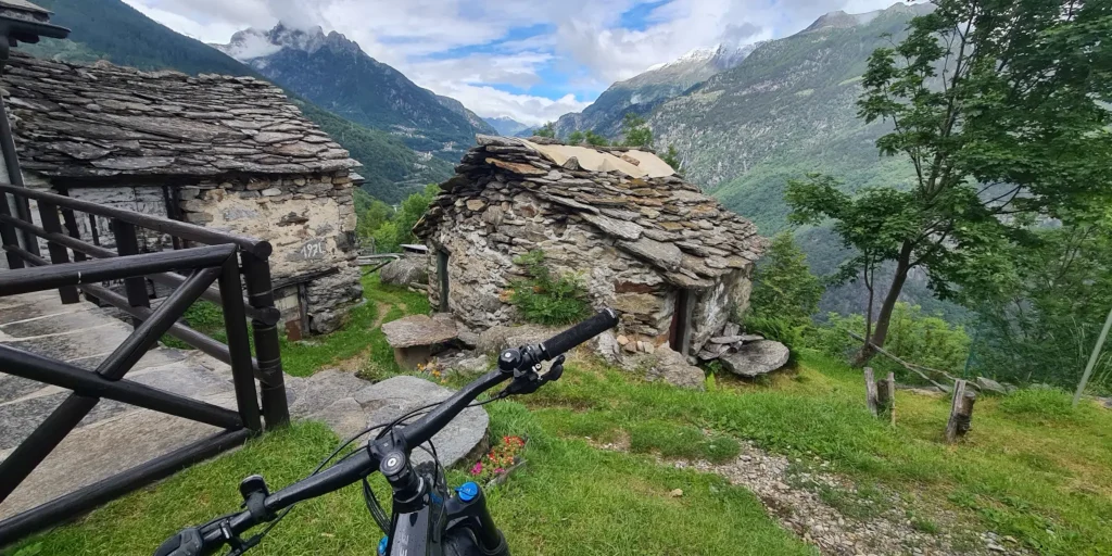
Dry stone walls in places demarcate the passage and rustic constructions used in the past give an extremely pleasant atmosphere, which puts the wayfarer in full contact with nature and the surrounding habitat.

Details

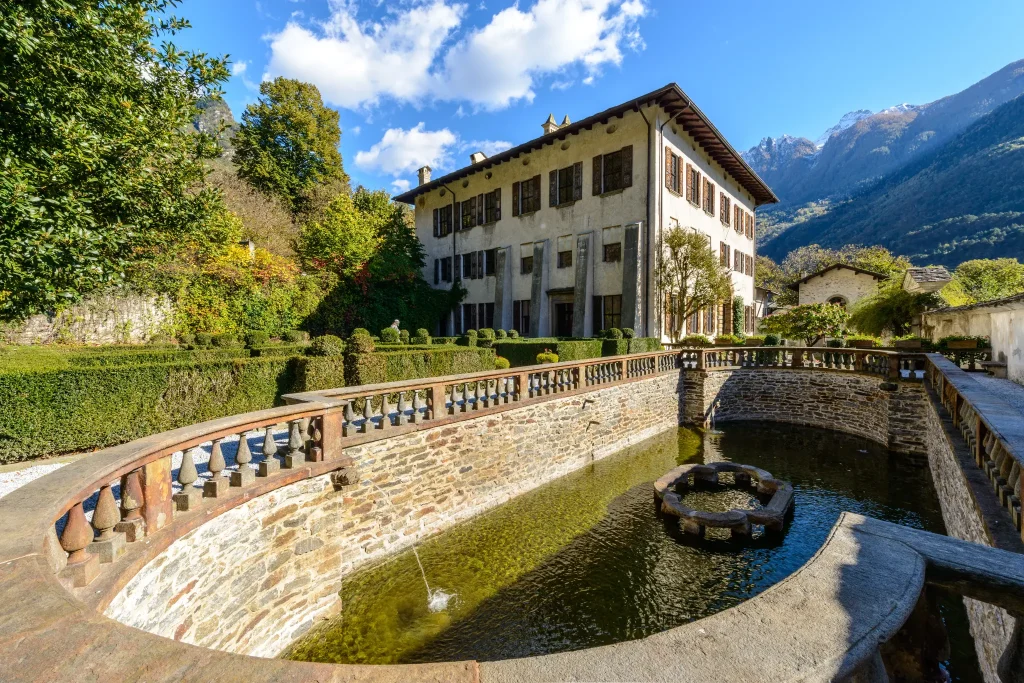
Passing through the historic center of Chiavenna, one reaches the hamlet of Loreto, following the signs for Campedello/Crotti Freege. This leads to the hamlet of Cranna, a popular little gem. Credit is also due to the owners of the houses who take great pains to keep the village tidy at all times. We are about a hundred meters above Prosto, at an elevation of about 550 meters. From here much of the Italian Val Bregaglia with its majestic peaks and the village of Chiavenna is visible. In Cranna it is worth visiting the Church of St. Joseph – built in 1674 – in place of an earlier chapel to protect against the wolves that infested the area.

At the foot of the terrace of Crana stands Palazzo Vertemate Franchi, of which there is an overall view, with its garden, orchard and vast chestnut forest.From here the walk continues to Piuro. Among the many possible routes, we suggest the one that points toward Borgonuovo and ends near the Acquafraggia Waterfalls, a natural monument of the Lombardy Region.

At this point you only need to follow the bike path, which takes you back to Chiavenna in a short time, passing through the nuclei of Prosto and Poiatengo (Piazza Castello).

Informations

Difficulty: Medium

Duration: 3:25 h

Distance: 8,94 km

Ascent: 392 mt

Descent: 392 mt

Highest point: 667 mt

Lowest point: 325 mt

Best time of year:

Jan
Feb
Mar
Apr
May
Jun
Jul
Aug
Sep
Oct
Nov
Dec

Download the GPX track
Download the KML track

How to get here
Infopoint
Consorzio Turistico Valchiavenna
Piazza Caduti per la Libertà, 4
23022 Chiavenna (SO)
0343 37485
consorzioturistico@valchiavenna.com

From Loreto to Daloo

Valchiavenna

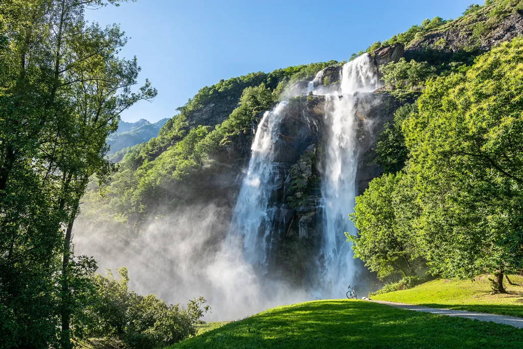
If there is a special place that must absolutely be visited in any season, that is Daloo. A place with a panorama unmatched in the whole valley, offering enchanting views to be admired patiently.
Details

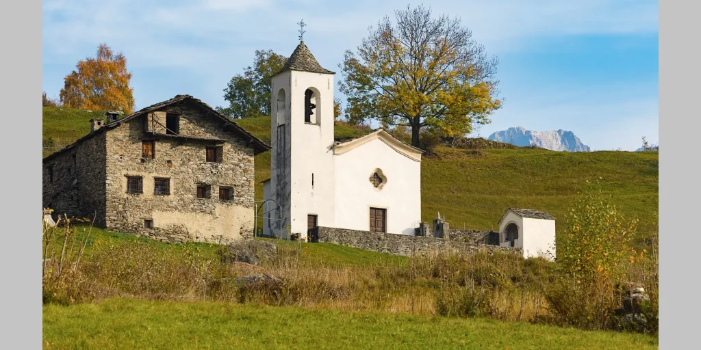
Daloo is reached on foot starting from Chiavenna, taking the path that climbs from Pianazzola. Until the 1950s, Daloo was inhabited all year round. Here, the school and parish were active, and the community was mainly engaged in agriculture and livestock farming, tending this place like a garden. Today, as then, the meadows that stretch behind the little church are perfectly maintained. The houses encountered along the path crossing the core have almost all been renovated and restored, livable with all modern comforts. The end point of every excursion is the magnificent viewpoint overlooking Chiavenna, from which it is possible to look south as far as Lake Mezzola and east along the entire Swiss Val Bregaglia.

Informations

Difficulty: Medium

Duration: 2:05 h

Distance: 2,47 km

Ascent: 758 mt

Descent: 47 mt

Highest point: 1115 mt

Lowest point: 358 mt

Best time of year:

Jan
Feb
Mar
Apr
May
Jun
Jul
Aug
Sep
Oct
Nov
Dec

Download the GPX track
Download the KML track

How to get here

Public transport: It is possible to reach Chiavenna from the south by train (from Milan towards Sondrio-Tirano with a change at Colico) or from the north by postbus from St. Moritz all year round or STPS bus from Splügen from June to October.

Getting there: By car, it is possible to reach Chiavenna from the south via the S.S.36 (Milan – Lecco – Colico) and from Como via S.S.340 Regina; from the north via the Spluga Pass (winter closure) and the Maloja Pass via S.S. 37.

Parking: Via Rezia – Chiavenna

Starting point: get directions in Google Maps

Infopoint
Consorzio Turistico Valchiavenna
Piazza Caduti per la Libertà, 4
23022 Chiavenna (SO)
0343 37485
consorzioturistico@valchiavenna.com

Mese Ring – Sommarovina

Valchiavenna

A scenic loop route, in the center of the three valleys, clearly visible in all their beauty.
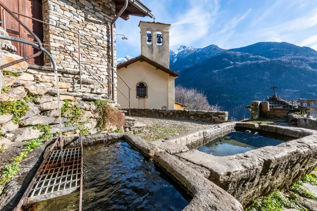
A fun hike, to one of the most appreciated scenic spots in the entire valley.
Details

Starting from the Church of San Vittore in Mese, we enter Via Cappella Grande, skirting the important hydroelectric power plant.

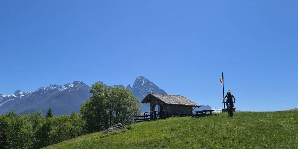
Keeping to the right, the road begins to climb into Via Madonna delle Grazie and continues into Via Motto. After about 250 m we turn right in the direction of Albareda. Restarting, the road continues to climb, a couple more kilometers and keeping left toward Calones the chestnut woods open up and we arrive at Prato Morello in the Cigolino hump. We are at an altitude of 1140 m and on the left we find a small chapel and a resting place (drinking fountain and benches with tables).

Here we are in the center of the three valleys that are clearly visible in all their beauty.

From here the descent begins, retracing back the route taken for about 800 m to the first left turn. The road goes up for about 20 m, the terrain changes from asphalt to a path with a good bottom, you go down crossing some typical mountain huts to enter on the left the halfway path (at 1000 m) that develops in the forest.

You reach and pass Teccial then meeting a nucleus of huts you descend to the right where there is a cool drinking fountain, the path continues descending and widens.

Continuing the descent a sign indicates on the right the Church of Sommarovina, a recommended passage to be able to take a special look at the Val Bregaglia, which develops towards the east. From here it is possible to see peaks such as Pizzo Badile (3305 m), the dam of Villa di Chiavenna, the Acqua Fraggia waterfalls and to have a view from above of Chiavenna placed at the center of the three valleys.From Sommarovina the road becomes paved again, as far as San Giacomo Filippo, here we recommend turning left to get to the Sanctuary of San Guglielmo. We continue over the new bicycle-pedestrian bridge that leads back to the ss36, travel for about a kilometer in a southerly direction descending toward Chiavenna.

At the end of the village of San Giacomo Filippo continue on Via Spluga, following left for the Tibetan bridge.

From there, then the arrival in Chiavenna. For those using a muscle bike, good athletic training is required; certainly the route is more suitable for e-bikes.

Informations

Difficulty: Hard

Duration: 4:20 h

Distance: 22,18 km

Ascent: 966 mt

Descent: 965 mt

Highest point: 1161 mt

Lowest point: 271 mt

Best time of year:

Jan
Feb
Mar
Apr
May
Jun
Jul
Aug
Sep
Oct
Nov
Dec

Download the GPX track
Download the KML track

How to get here
Infopoint
Consorzio Turistico Valchiavenna
Piazza Caduti per la Libertà, 4
23022 Chiavenna (SO)
0343 37485
consorzioturistico@valchiavenna.com

Via Francisca – From Samolaco to Sorico

Valchiavenna

In recent years the Via Francisca has been reevaluated by many trekking enthusiasts. The route, about 37 kilometers long in total, crosses the entire Valchiavenna and offers remarkable naturalistic insights to its visitors, as well as passing through ancient uninhabited villages. The entire trail is signposted and safe, and is a worthwhile route to discover in all seasons.
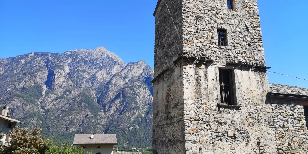
For those coming from the north, the Via Francisca is a natural continuation of the ViaSpluga. Among the most interesting points, in addition to the beautiful town of Chiavenna, it is worth mentioning the Pian di Spagna Reserve, the small temple of San Fedelino and the old Colombée tower restored by the municipality of San Pietro di Samolaco, which now houses a small ethnographic museum set up in October 2008 by the Samolaco Library Cultural Association.
The path is part of the itineraries "Le Vie del Viandante "12 of the most beautiful and particular paths that wayfarers have traced over the centuries: from Switzerland towards Valchiavenna immersing a suggestive alpine scenery, to the little-known villages on the eastern shore of Lake Como.

Details

Stage 2 – From Samolaco to Sorico

From the hamlet of Era we follow the paved road that climbs to Fontanedo, just before a hairpin bend we take a path that leads briefly to Casenda. We cross the bridge over the stream of the same name until we reach the village of Vigazzuolo. On a dirt road we continue toward the church of San Giovanni all’Archetto and on a path we descend toward the Mera River. We pass the Porta valley and then the Della Francesca furrow to climb to the Alpe di Teolo.

At the fork that descends on the left to San Fedelino we continue keeping to the right on a steep ascent arriving at the Brentaletto hump and the beginning of the descent that leads to the Dascio rock and the town. We cross Dascio along Via Bruga and continue along the mule track to the paved road that leads to Prati Meriggi. Having passed La Masina locality at the last hairpin bend we continue straight on the mule track that leads to the Torre Nuova di Sorico and into the village center.

Informations

Difficulty: Hard

Duration: 4:55 h

Distance: 13,97 km

Ascent: 530 mt

Descent: 557 mt

Highest point: 495 mt

Lowest point: 199 mt

Best time of year:

Jan
Feb
Mar
Apr
May
Jun
Jul
Aug
Sep
Oct
Nov
Dec

Download the GPX track
Download the KML track

How to get here
Infopoint
Consorzio Turistico Valchiavenna
Piazza Caduti per la Libertà, 4
23022 Chiavenna (SO)
0343 37485
consorzioturistico@valchiavenna.com

Search in the website