
Valchiavenna
In recent years the Via Francisca has been reevaluated by many trekking enthusiasts. The route, about 37 kilometers long in total, crosses the entire Valchiavenna and offers remarkable naturalistic insights to its visitors, as well as passing through ancient uninhabited villages. The entire trail is signposted and safe, and is a worthwhile route to discover in all seasons.
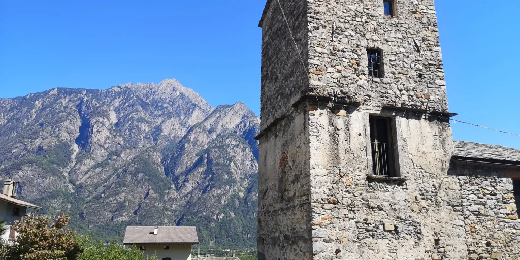
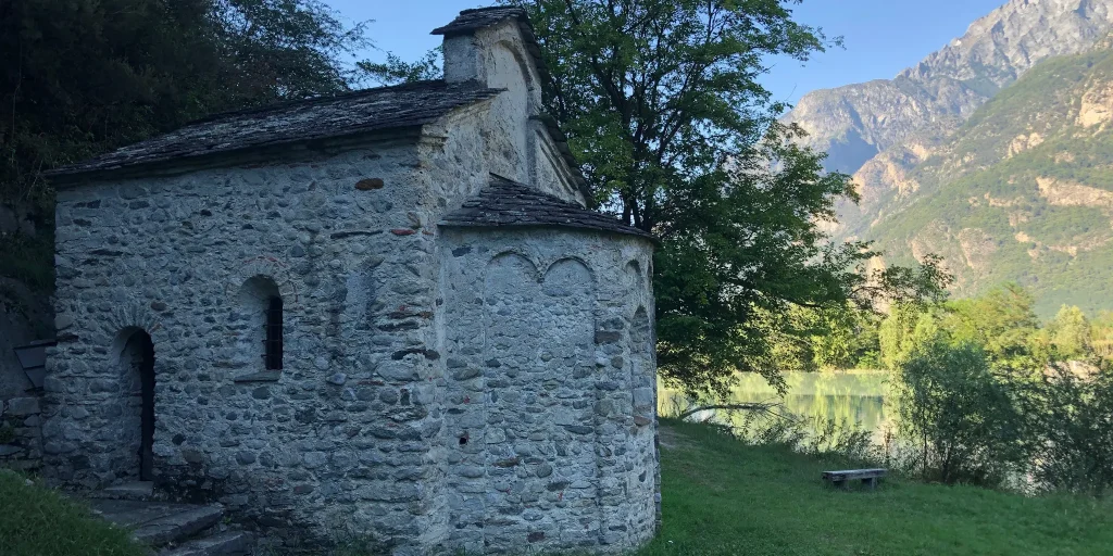
For those coming from the north, the Via Francisca is a natural continuation of the ViaSpluga. Among the most interesting points, in addition to the beautiful town of Chiavenna, it is worth mentioning the Pian di Spagna Reserve, the small temple of San Fedelino and the old Colombée tower restored by the municipality of San Pietro di Samolaco, which now houses a small ethnographic museum set up in October 2008 by the Samolaco Library Cultural Association.
The path is part of the itineraries "Le Vie del Viandante "12 of the most beautiful and particular paths that wayfarers have traced over the centuries: from Switzerland towards Valchiavenna immersing a suggestive alpine scenery, to the little-known villages on the eastern shore of Lake Como.
Stage 2 – From Samolaco to Sorico
From the hamlet of Era we follow the paved road that climbs to Fontanedo, just before a hairpin bend we take a path that leads briefly to Casenda. We cross the bridge over the stream of the same name until we reach the village of Vigazzuolo. On a dirt road we continue toward the church of San Giovanni all’Archetto and on a path we descend toward the Mera River. We pass the Porta valley and then the Della Francesca furrow to climb to the Alpe di Teolo.
At the fork that descends on the left to San Fedelino we continue keeping to the right on a steep ascent arriving at the Brentaletto hump and the beginning of the descent that leads to the Dascio rock and the town. We cross Dascio along Via Bruga and continue along the mule track to the paved road that leads to Prati Meriggi. Having passed La Masina locality at the last hairpin bend we continue straight on the mule track that leads to the Torre Nuova di Sorico and into the village center.
Difficulty: Hard
Duration: 4:55 h
Distance: 13,97 km
Ascent: 530 mt
Descent: 557 mt
Highest point: 495 mt
Lowest point: 199 mt
Best time of year:
Starting point: get directions in Google Maps
Piazza Caduti per la Libertà, 4
23022 Chiavenna (SO)
0343 37485
consorzioturistico@valchiavenna.com
Valchiavenna
Related experiences

Ring in the nature reserve of the Giants’ potholes
Eected to an ideal start in Piazza Castello, Chiavenna, take Via Maurizio Quadrio and, before reaching the bridge over the Mera, turn right into Via Poiatengo. On this evocative route between the river, woods and cliffs, you arrive in Prosto di Piuro, where the numerous crotti, the church dedicated to the Assumption and a handcrafted […]
Chiavenna – Cranna – Borgonuovo di Piuro – Chiavenna Ring
Passing through the historic center of Chiavenna, one reaches the hamlet of Loreto, following the signs for Campedello/Crotti Freege. This leads to the hamlet of Cranna, a popular little gem. Credit is also due to the owners of the houses who take great pains to keep the village tidy at all times. We are about […]
From Loreto to Daloo
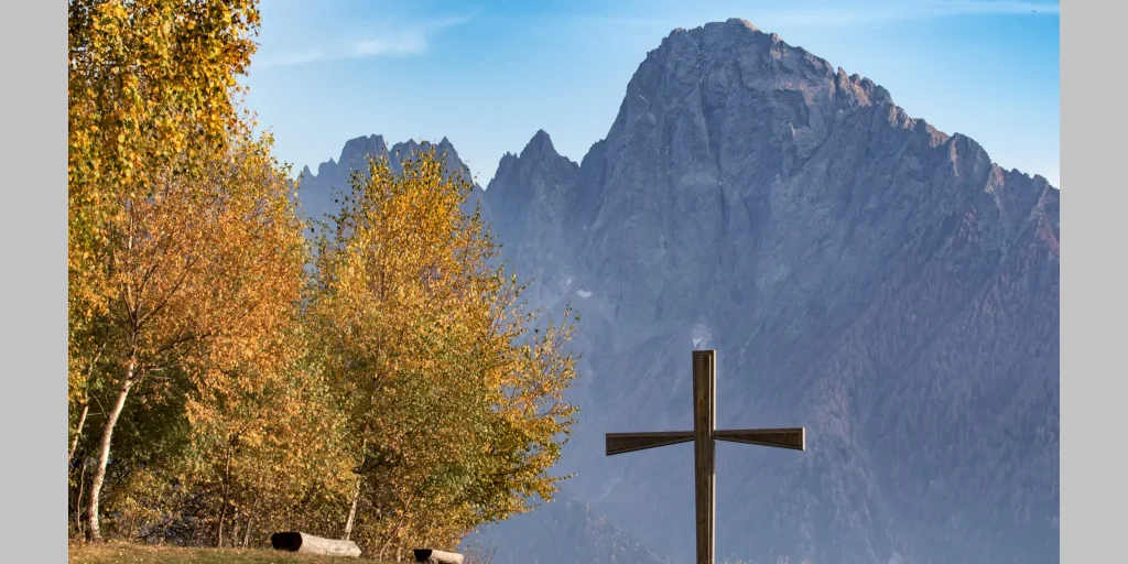
Daloo is reached on foot starting from Chiavenna, taking the path that climbs from Pianazzola. Until the 1950s, Daloo was inhabited all year round. Here, the school and parish were active, and the community was mainly engaged in agriculture and livestock farming, tending this place like a garden. Today, as then, the meadows that stretch […]
Hiking to Belvedere di Chiavenna – Uschione
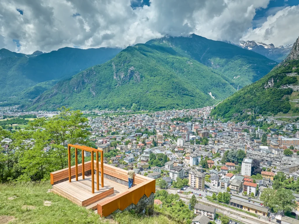
Valchiavenna is not just “sterile and very high mountains with large rocks,” as Leonardo da Vinci also mentioned during his stay in 1490. It is a splendid place that offers perfect conditions to practice advanced hiking, in search of historical-cultural as well as gastronomic aspects. The possibility of understanding elements of a rural life now […]

Hotel
Comfortable stays in the heart of Valchiavenna, combining hospitality, services and Alpine landscapes to experience in every season.

Bed & breakfast
Small properties and welcoming atmospheres to experience Valchiavenna simply, with authentic hospitality and a strong connection to the local area.

Holiday homes
Independent accommodation solutions to feel at home even on holiday and discover Valchiavenna at your own pace.

Mountain huts and campsites
Hospitality immersed in nature, among local traditions, mountain life and the pleasure of experiencing the area more closely.