
Valchiavenna
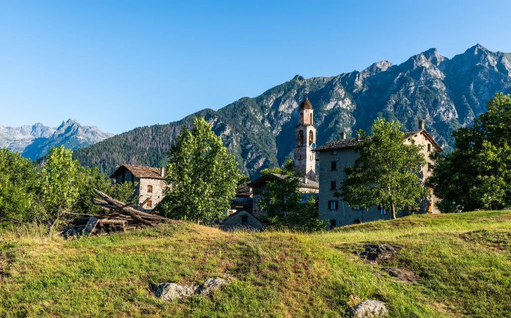
Uschione is one of the prettiest mid-altitude villages of the Valchiavenna.
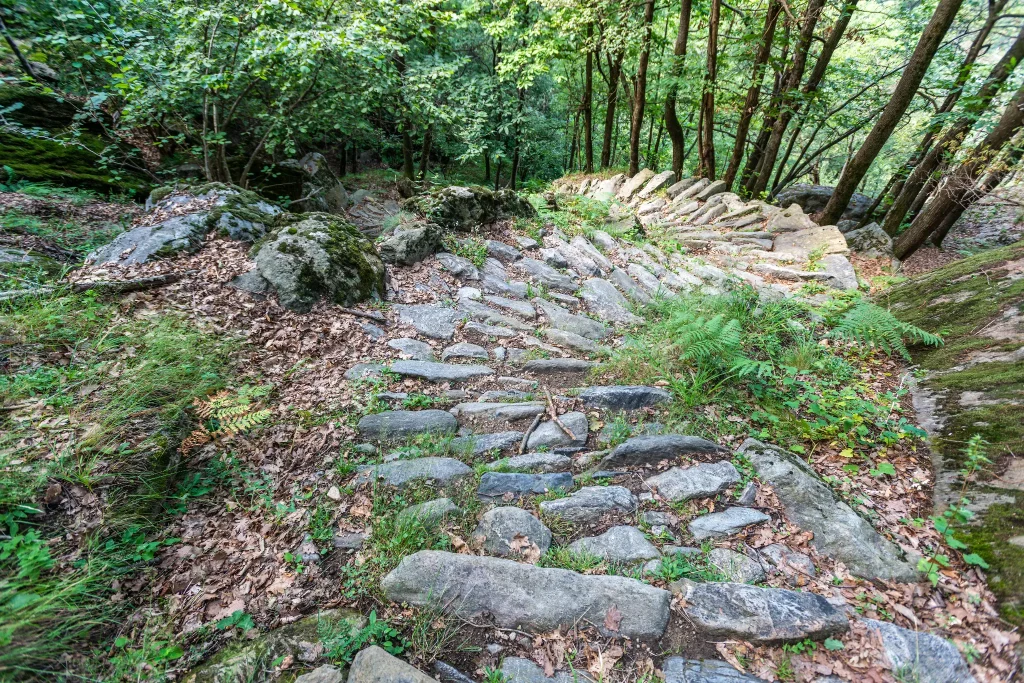
Once permanently inhabited, it still preserves wonderful houses that blend perfectly with the landscape. Here is how to reach Uschione by following the dry stone mule track.
Valchiavenna is not just “sterile and very high mountains with large rocks,” as Leonardo da Vinci also mentioned during his stay in 1490.
It is a splendid place that offers perfect conditions to practice advanced hiking, in search of historical-cultural as well as gastronomic aspects. The possibility of understanding elements of a rural life now transformed is close at hand. One way to embrace this opportunity is to visit the delightful village of Uschione, in the Municipality of Chiavenna, located at an altitude of 832 meters.
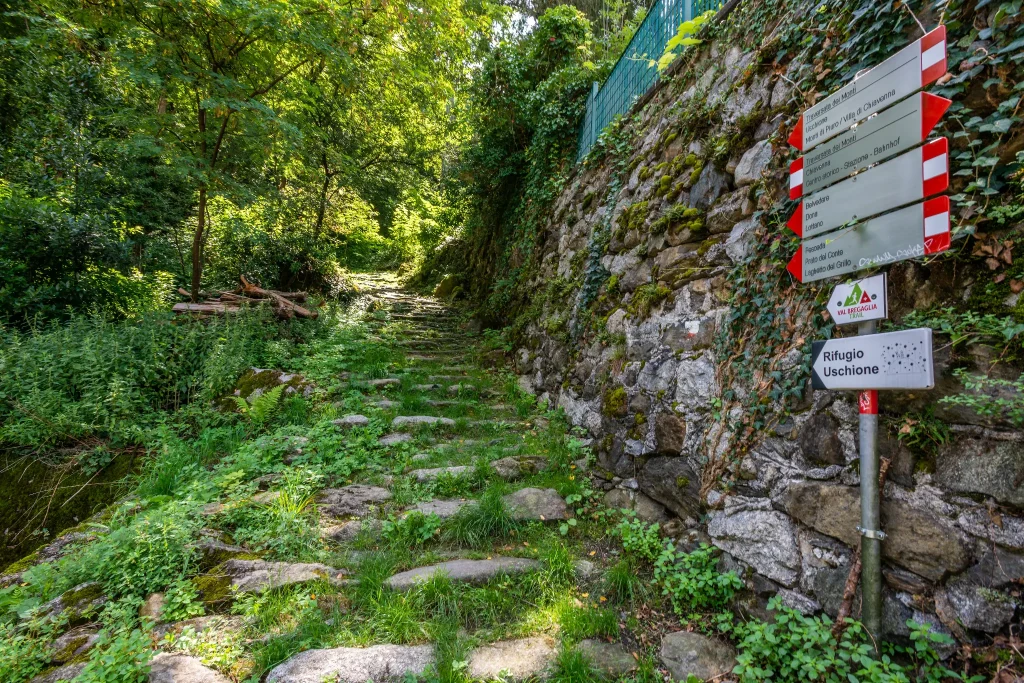
The access to the oldest mule track route is found by going to the locality “Deserto,” in via al Tiglio (behind the train station).
To help locate the route, there are convenient signposts.
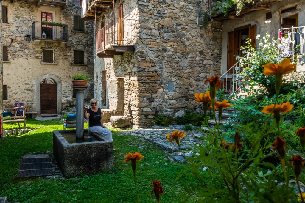
The mule track consists of countless steps. It is quite easy and walkable by anyone. It leads us, in about fifteen minutes, to the meadows of the “Belvedere” (470 m) from which you can enjoy a splendid view of Chiavenna and the entrance to the three valleys. Above Chiavenna, the village of Pianazzola is clearly visible and higher up the Dalò cross. We resume the path that goes into the woods, passing near an ancient soapstone quarry until reaching, near a fountain, a large boulder known locally as the “sass che gota,” meaning dripping rock. Just beyond, the woods thin out. Here are the huts of “contrada Zarucchi,” and immediately after those of the “Pighetti,” whose beautiful and ancient buildings form the central core of Uschione. I love walking around the plateau around which the village gathers.
There is an intense silence, broken only by the sound of fountain water.
The path crossing Uschione naturally leads towards the little church of 1609 dedicated to the Ascension.
Difficulty: Medium
Duration: 1:30 h
Distance: 2,02 km
Ascent: 508 mt
Descent: 5 mt
Highest point: 837 mt
Lowest point: 330 mt
Best time of year:
Public transport: Chiavenna can be reached from the south by the Colico – Chiavenna train line (Trenord) or from the north by the Swiss PostBus line St. Moritz – Chiavenna.
Getting there: By car, it is possible to reach Chiavenna from the south via the S.S.36 (Milan – Lecco – Colico) and from Como via S.S.340 Regina; from the north via the Spluga Pass (winter closure) and the Maloja Pass via S.S. 37.
Parking: Parking via Principe Amedeo Chiavenna
Starting point: get directions in Google Maps
Piazza Caduti per la Libertà, 4
23022 Chiavenna (SO)
0343 37485
consorzioturistico@valchiavenna.com
Valchiavenna
Related experiences

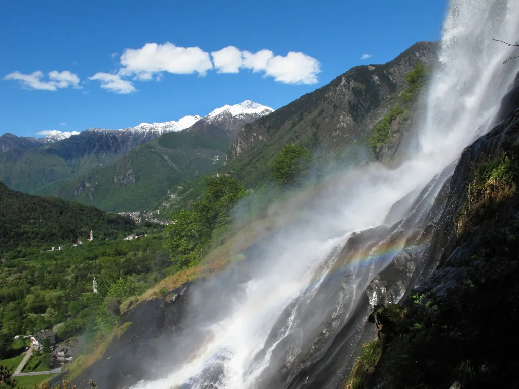
Ring in the nature reserve of the Giants’ potholes
Eected to an ideal start in Piazza Castello, Chiavenna, take Via Maurizio Quadrio and, before reaching the bridge over the Mera, turn right into Via Poiatengo. On this evocative route between the river, woods and cliffs, you arrive in Prosto di Piuro, where the numerous crotti, the church dedicated to the Assumption and a handcrafted […]
Chiavenna – Cranna – Borgonuovo di Piuro – Chiavenna Ring
Passing through the historic center of Chiavenna, one reaches the hamlet of Loreto, following the signs for Campedello/Crotti Freege. This leads to the hamlet of Cranna, a popular little gem. Credit is also due to the owners of the houses who take great pains to keep the village tidy at all times. We are about […]
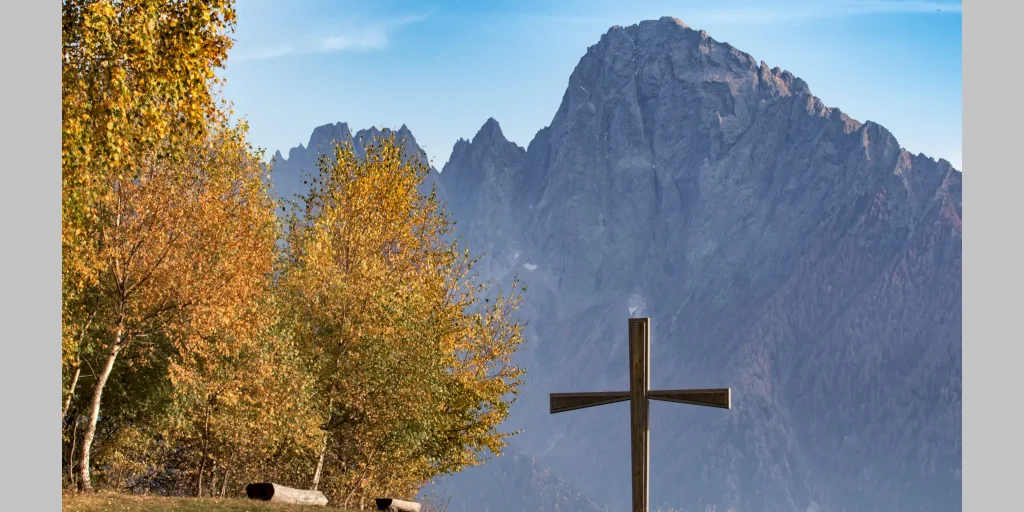
From Loreto to Daloo
Daloo is reached on foot starting from Chiavenna, taking the path that climbs from Pianazzola. Until the 1950s, Daloo was inhabited all year round. Here, the school and parish were active, and the community was mainly engaged in agriculture and livestock farming, tending this place like a garden. Today, as then, the meadows that stretch […]
Via Francisca – From Samolaco to Sorico
Stage 2 – From Samolaco to Sorico From the hamlet of Era we follow the paved road that climbs to Fontanedo, just before a hairpin bend we take a path that leads briefly to Casenda. We cross the bridge over the stream of the same name until we reach the village of Vigazzuolo. On a […]

Hotel
Comfortable stays in the heart of Valchiavenna, combining hospitality, services and Alpine landscapes to experience in every season.

Bed & breakfast
Small properties and welcoming atmospheres to experience Valchiavenna simply, with authentic hospitality and a strong connection to the local area.

Holiday homes
Independent accommodation solutions to feel at home even on holiday and discover Valchiavenna at your own pace.

Mountain huts and campsites
Hospitality immersed in nature, among local traditions, mountain life and the pleasure of experiencing the area more closely.