
Valchiavenna
In recent years the Via Francisca has been reevaluated by many trekking enthusiasts.
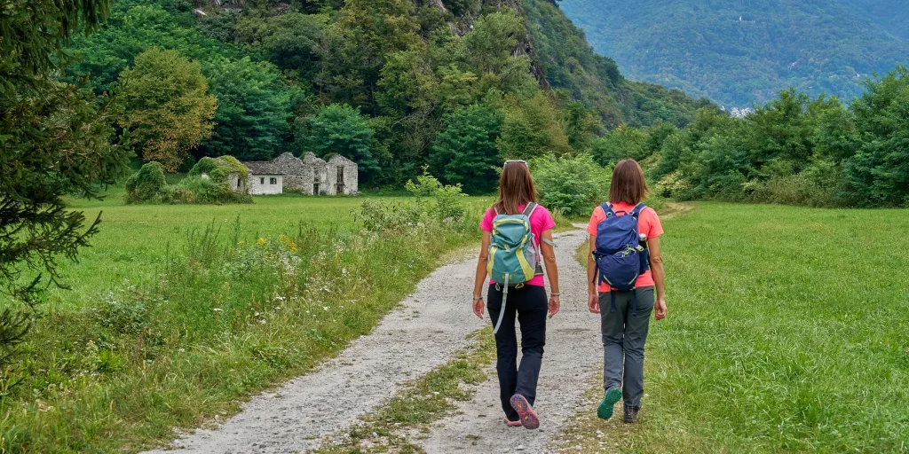
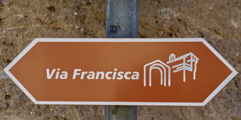
The route, about 37 kilometers long in total, crosses the entire Valchiavenna and offers remarkable naturalistic insights to its visitors, as well as passing through ancient uninhabited villages. The entire trail is signposted and safe, and is a worthwhile route to discover in all seasons.
For those coming from the north, the Via Francisca is a natural continuation of the ViaSpluga.
Among the most interesting points, in addition to the beautiful town of Chiavenna, it is worth mentioning the Pian di Spagna Reserve, the small temple of San Fedelino and the old Colombée tower restored by the municipality of San Pietro di Samolaco, which now houses a small ethnographic museum set up in October 2008 by the Samolaco Library Cultural Association. The trail is part of the itineraries "Le Vie del Viandante" 12 of the most beautiful and special paths that wayfarers have traced over the centuries: from Switzerland to Valchiavenna immersing a striking alpine scenery, to little-known villages on the eastern shore of Lake Como.
Stage 1 – Chiavenna to Samolaco
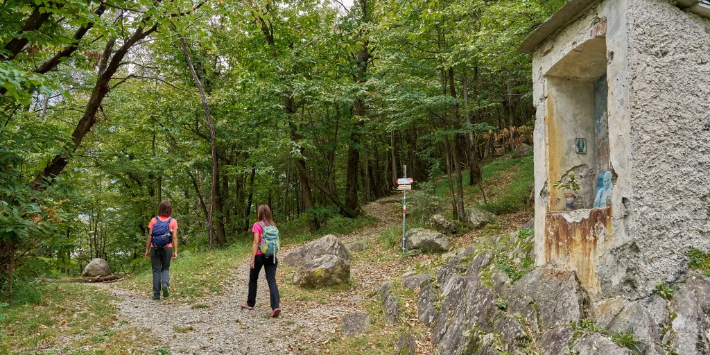
We leave Chiavenna along the long straight stretch of Via Volta until we cross the bridge over the Liro stream, after which we turn right entering San Mamete. We descend to the Mese power plant and then climb up to Coloredo locality, where we cross the Crezzo stream to enter Gordona. We leave the village along Via Piazzoli and Via Segname to take the path that leads to the ancient Boggia chapel. Here we can choose to take either the low or the high variant, which is definitely more challenging.
The low variant follows the path of the Boggia stream to its confluence with the Mera River, which we follow to the fortified farmstead of Cesura. We soon reach San Pietro where we rejoin the high variant.
We pass the Culumbée Ethnographic Museum and the church dedicated to San Pietro to descend on the left the steps of the Stradina delle Fontane to the Peremonte road, which we follow to the right. Near a curve to the left we continue straight along a path that leads us to ford the Bolgadregna stream near Nogaredo. We continue along the path past the Era Valley until we reach the paved road that descends to the hamlet of Era.
Difficulty: Medium
Duration: 4:00 h
Distance: 12,93 km
Ascent: 200 mt
Descent: 311 mt
Highest point: 332 mt
Lowest point: 216 mt
Best time of year:
Public transport: It is possible to reach Chiavenna via TRENORD connection Colico – Chiavenna line.
For schedules https://www.trenord.it/
Getting there: Chiavenna can be reached by car from Milan by following the SS36.
Parking: Free parking on Principe Amedeo Street (behind train station) or large parking lot/RV area near the Sports Field, Falcone and Borsellino Street.
Starting point: get directions in Google Maps
Piazza Caduti per la Libertà, 4
23022 Chiavenna (SO)
0343 37485
consorzioturistico@valchiavenna.com
Valchiavenna
Related experiences

Alpe Campo – Alpe Borlasca Ring
The natural setting is priceless. You move through an alpine habitat that has remained unchanged, in which signs of anthropization are almost absent. Throughout the hike, you enjoy wonderful views that alone repay the many labors. The whole trail takes about 5 hours and is suitable for those with a good workout in their legs. […]
From Donadivo to Lavorerio Alp
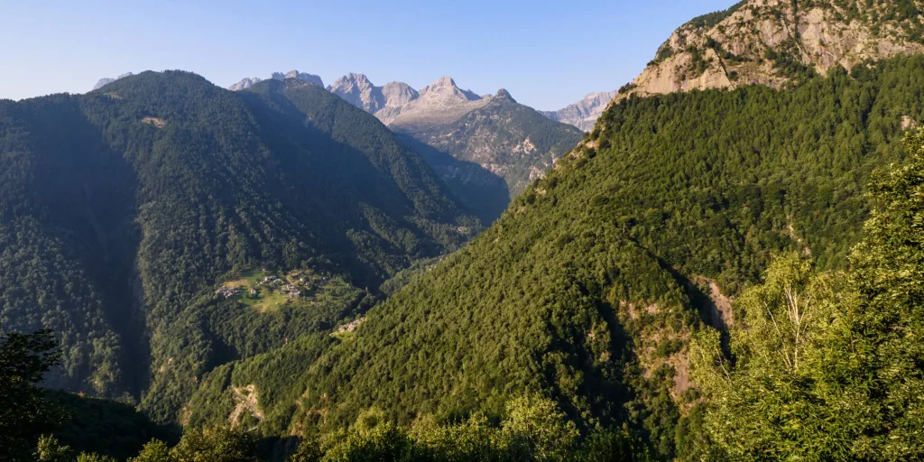
From Gordona, more trained hikers can already start walking to the alp. Alternatively, one can drive to the village of Donadivo (737 m). From here on foot in three hours you will reach your destination. A third opportunity is provided by the Orlo alp (1165 m) reachable by car, gaining about an hour’s walk, at […]

Hike Voga – Alpe Buglio – Forcola Bivouac
The route starts from the hamlet Voga of Menarola and climbs steeply passing through Alpe Dardano (1334 m a.s.l.) and then Alpe Buglio (1554 m a.s.l.). From Alpe Buglio the path continues to the left keeping on the slope; it continues with a slight incline crossing a sparse larch forest. A deviation to the left […]

Donadivo – Cermine – Alpe Cima hike
Every mule track is a masterpiece of ingenuity and taste. The long mule track that climbs from Gordona to the Alpe Cermine is among the most beautiful in Valchiavenna. It is the so-called benefactor’s mule track. The view that will open before your eyes during the route, as well as the one you will appreciate […]

Bodengo – Corte Terza – Bivacco Alpe Notaro Hiking
By following this route you have the opportunity to discover the ancient paths used by the “spalloni”, the smugglers who from long ago transported goods between Switzerland and Italy. Start by car from Gordona. From here, take the road that climbs towards Val Bodengo (you need to get a pass, purchasable at the start of […]

Hotel
Comfortable stays in the heart of Valchiavenna, combining hospitality, services and Alpine landscapes to experience in every season.

Bed & breakfast
Small properties and welcoming atmospheres to experience Valchiavenna simply, with authentic hospitality and a strong connection to the local area.

Holiday homes
Independent accommodation solutions to feel at home even on holiday and discover Valchiavenna at your own pace.

Mountain huts and campsites
Hospitality immersed in nature, among local traditions, mountain life and the pleasure of experiencing the area more closely.