
Valchiavenna
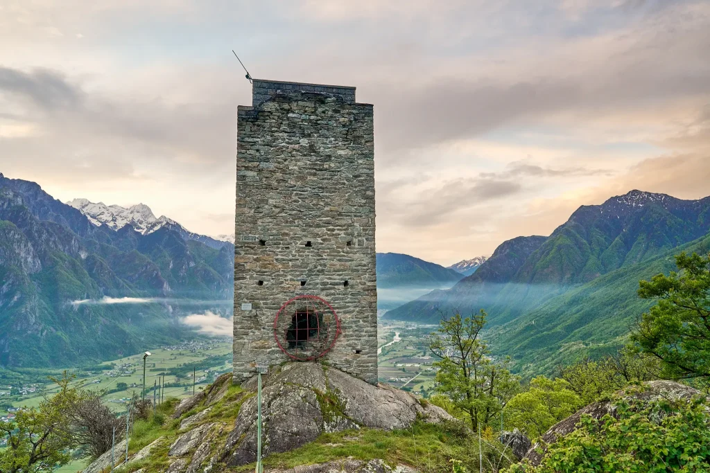
From up here in ancient times, lookouts observed the entire valley, in connection with other posts located in strategic places that have now become hiking destinations suitable for everyone. Although centuries have passed since its construction, even today the Segname Tower does not go unnoticed by those who travel through Valchiavenna.
Lonely, on top of the mighty rocky spur overlooking the right bank of the valley, between Gordona and San Pietro di Samolaco, this construction draws the attention of many.
The construction dates back to the second half of the 12th century and was part of a complex system of sighting and signaling of possible invaders.Easily reached on foot, it is absolutely worth a visit if only for the splendid view it offers once you reach its summit.
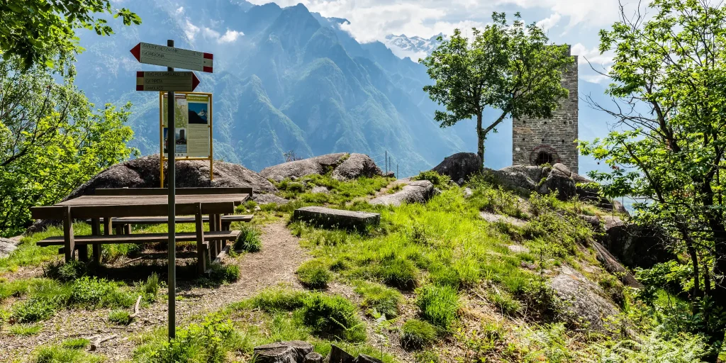
The trail is well-marked and starts from the Boggia locality in Gordona, climbing up the slope, with a noteworthy gradient (it is possible to start the route from the Church Square in Gordona).
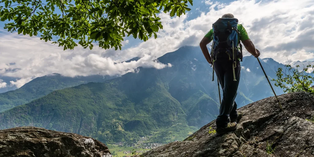
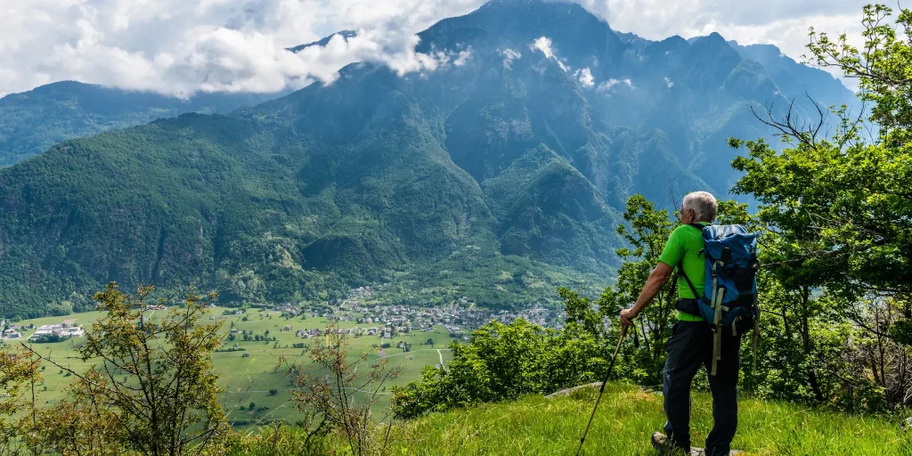
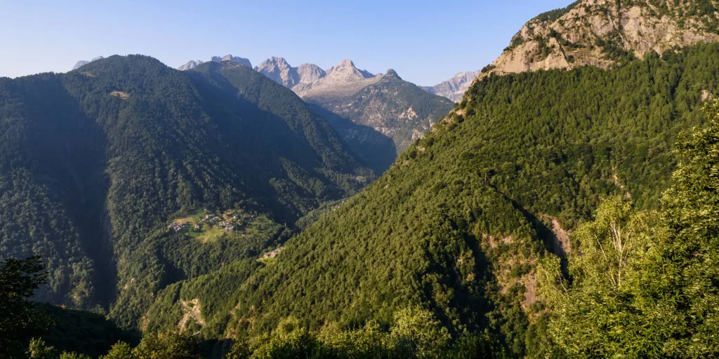
Gradually the path becomes gentler as you approach the ridge, limiting the view of the valley because of the birch thickets you pass along the way.The arrival at the summit holds an extraordinary surprise. The view runs from the mouth of the Spluga and Bregaglia valleys to the peak of Legnone overlooking Lake Como. From here, soldiers dominated the entire Valchiavenna, ready to signal with fires to nearby towers, the arrival of enemies from new territories. The tower can also be visited internally, and an equipped staircase, allows you to climb to its top.
It is worth considering a loop route that touches both approaches so as to fully appreciate the various interesting locations (e.g. Cà Pipeta)..
Possible departure or arrival from Loc. Ronscione in Samolaco.
Difficulty: Medium
Duration: 1:10 h
Distance: 2,23 km
Ascent: 294 mt
Descent: 48 mt
Highest point: 552 mt
Lowest point: 258 mt
Best time of year:
Public transport: It is possible to reach Gordona by bus connection STPS line.
For schedules click here
Starting point: get directions in Google Maps
Piazza Caduti per la Libertà, 4
23022 Chiavenna (SO)
0343 37485
consorzioturistico@valchiavenna.com
Valchiavenna
Related experiences

Alpe Campo – Alpe Borlasca Ring
The natural setting is priceless. You move through an alpine habitat that has remained unchanged, in which signs of anthropization are almost absent. Throughout the hike, you enjoy wonderful views that alone repay the many labors. The whole trail takes about 5 hours and is suitable for those with a good workout in their legs. […]
From Donadivo to Lavorerio Alp
From Gordona, more trained hikers can already start walking to the alp. Alternatively, one can drive to the village of Donadivo (737 m). From here on foot in three hours you will reach your destination. A third opportunity is provided by the Orlo alp (1165 m) reachable by car, gaining about an hour’s walk, at […]

Hike Voga – Alpe Buglio – Forcola Bivouac
The route starts from the hamlet Voga of Menarola and climbs steeply passing through Alpe Dardano (1334 m a.s.l.) and then Alpe Buglio (1554 m a.s.l.). From Alpe Buglio the path continues to the left keeping on the slope; it continues with a slight incline crossing a sparse larch forest. A deviation to the left […]

Donadivo – Cermine – Alpe Cima hike
Every mule track is a masterpiece of ingenuity and taste. The long mule track that climbs from Gordona to the Alpe Cermine is among the most beautiful in Valchiavenna. It is the so-called benefactor’s mule track. The view that will open before your eyes during the route, as well as the one you will appreciate […]

Bodengo – Corte Terza – Bivacco Alpe Notaro Hiking
By following this route you have the opportunity to discover the ancient paths used by the “spalloni”, the smugglers who from long ago transported goods between Switzerland and Italy. Start by car from Gordona. From here, take the road that climbs towards Val Bodengo (you need to get a pass, purchasable at the start of […]

Hotel
Comfortable stays in the heart of Valchiavenna, combining hospitality, services and Alpine landscapes to experience in every season.

Bed & breakfast
Small properties and welcoming atmospheres to experience Valchiavenna simply, with authentic hospitality and a strong connection to the local area.

Holiday homes
Independent accommodation solutions to feel at home even on holiday and discover Valchiavenna at your own pace.

Mountain huts and campsites
Hospitality immersed in nature, among local traditions, mountain life and the pleasure of experiencing the area more closely.