Consorzio per la promozione turistica della Valchiavenna

Stazione Ferroviaria Chiavenna
Piazza Caduti per la Libertà
23022 Chiavenna (SO)
consorzioturistico@valchiavenna.com

Homeland Skialp Fest 2027

From 20 march 2027 to 21 march 2027

Details

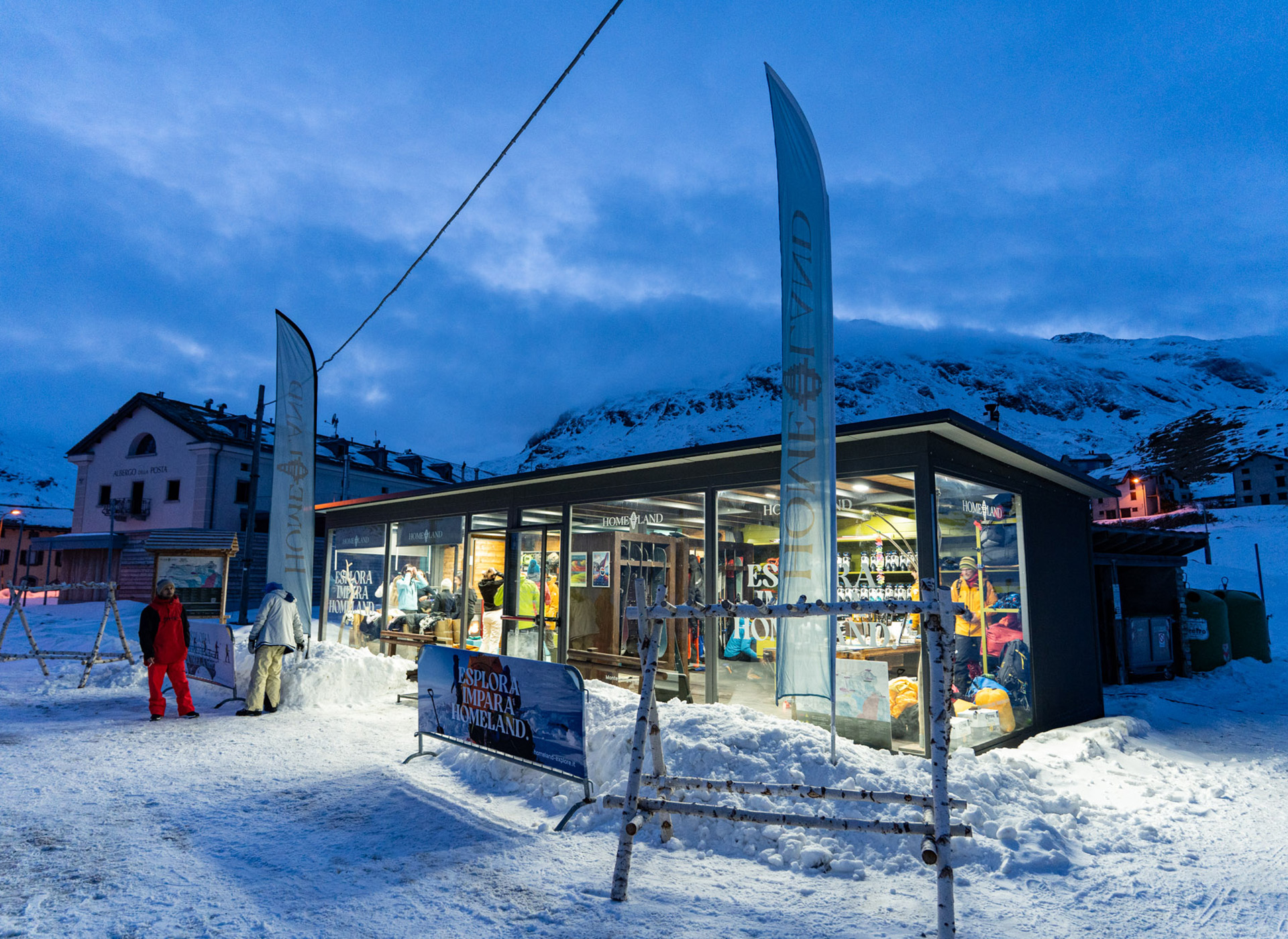
On 20 and 21 March 2027 the Homeland Skialp Fest: the ski mountaineering festival that looks to the future of winter sports, with a focus on sustainability, safety and mountain exploration.

Two days of guided excursions with mountain guides, gear testing, talks, film screenings, music & food, Safety Camp and Night Camp.

A chance to experience Valchiavenna from a ski touring perspective, with snow, training and good company.

Info: homelandexplore

Infopoint
Consorzio Turistico Madesimo
Via alle Scuole 12
23024 Madesimo (SO)
0343 53015
info@madesimo.eu
Website
Consorzio Turistico Valchiavenna
Piazza Caduti per la Libertà, 4
23022 Chiavenna (SO)
0343 37485
consorzioturistico@valchiavenna.com
Consorzio Turistico Valchiavenna
Via Don Romeo Ballerini, 2
23021 Campodolcino (SO)
0343 50611
campodolcino@valtellina.it
Hike from Guladera to Avero

Valchiavenna

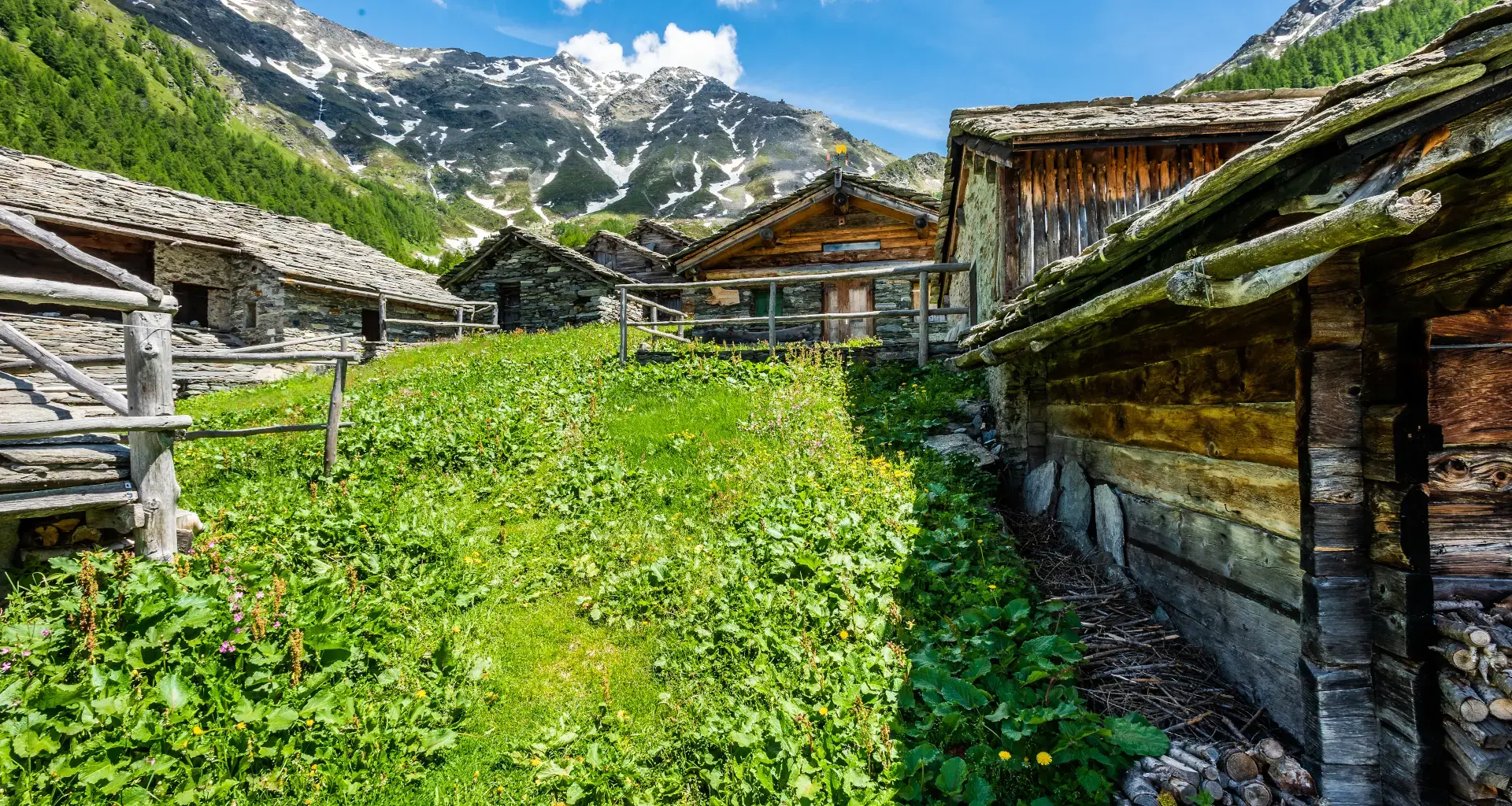
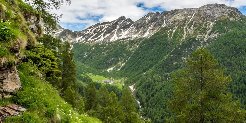
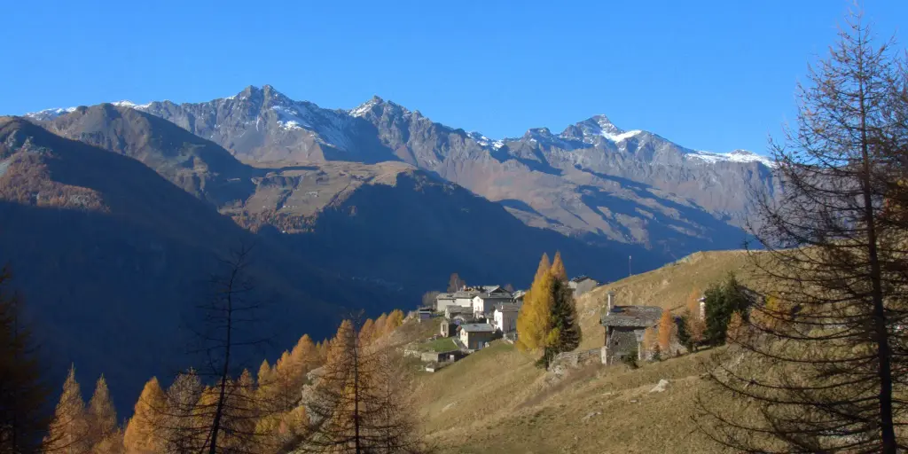
The route starts in Gualdera di Campodolcino and leads to the small rural villages of Bondeno and Avero, returning along the same trail. It is a hike of about 6 km in total, with 430 meters of elevation gain and an estimated duration of about 2 hours and 30 minutes. The route winds mainly through forests, mountain trails, and ancient rural settlements, making it particularly picturesque in the fall thanks to the colors of the fall foliage.

Details

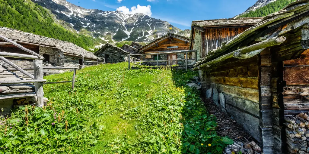
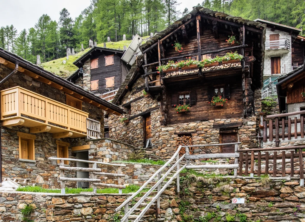
From Gualdera, the trail initially winds through the wooded landscape of the Spluga Valley and leads to Bondeno, a small rural hamlet nestled in the mountains, offering beautiful views of the valley. Continuing on, you reach Avero, situated at an elevation of about 1,678 meters, one of the area’s ancient Alpine settlements. The village still preserves numerous traditional stone and wood buildings, a testament to how mountain communities organized their lives in centuries past:“i Carden”

The return to Gualdera follows the same trail taken on the way there.

Informations

Difficulty: Medium

Duration: 2:20 h

Distance: 5,53 km

Ascent: 433 mt

Descent: 174 mt

Highest point: 1790 mt

Lowest point: 1416 mt

Best time of year:

Jan
Feb
Mar
Apr
May
Jun
Jul
Aug
Sep
Oct
Nov
Dec

Download the GPX track
Download the KML track

How to get here

Public transport: You can reach Campodolcino by taking the STPS, which runs dailyfrom Chiavenna.
From Campodolcino, near the church and the Roman bridge, you can hike up to Fraciscio/Gualdera.
Summer shuttle buses.

Starting point: get directions in Google Maps

Infopoint
Consorzio Turistico Valchiavenna
Via Don Romeo Ballerini, 2
23021 Campodolcino (SO)
0343 50611
campodolcino@valtellina.it
  • Rifugio Stuetta 0343 53174 -
  • Valchiavenna Snow Special: ski pass included in your stay

    Valchiavenna

    Choose the quietest times of the season to enjoy the slopes and the snow in Valchiavenna.

    Details

    Experience winter in Valchiavenna with the Snow special offer: book your stay at one of our accommodations, and your ski pass is included in the rate. Enjoy perfectly groomed slopes, cozy mountain hut breaks with traditional local cuisine, and a single all-inclusive pass valid across the entire Skiarea Valchiavenna—available during two quieter, crowd-free periods of the season.

    Dates
    January special: January 7 – 29, 2027
    Spring snow special: March 15 – April 4, 2027

    How to Book
    Contact the hotel or accommodation directly to get all the details and secure your package.

    Accommodations
    Casa Vacanze Bottonera, Chiavenna
    Alps Oriental Wellness Hotel, Campodolcino
    Hotel Soldanella, Madesimo
    Hotel Chalet Capriolo, Madesimo

    Choose the quietest times of the season to enjoy the slopes and the snow in Valchiavenna.

    Infopoint
    Consorzio Turistico Madesimo
    Via alle Scuole 12
    23024 Madesimo (SO)
    0343 53015
    info@madesimo.eu
    Website
    Consorzio Turistico Valchiavenna
    Piazza Caduti per la Libertà, 4
    23022 Chiavenna (SO)
    0343 37485
    consorzioturistico@valchiavenna.com
    Consorzio Turistico Valchiavenna
    Via Don Romeo Ballerini, 2
    23021 Campodolcino (SO)
    0343 50611
    campodolcino@valtellina.it
    To the Baldiscio Lakes

    Valchiavenna

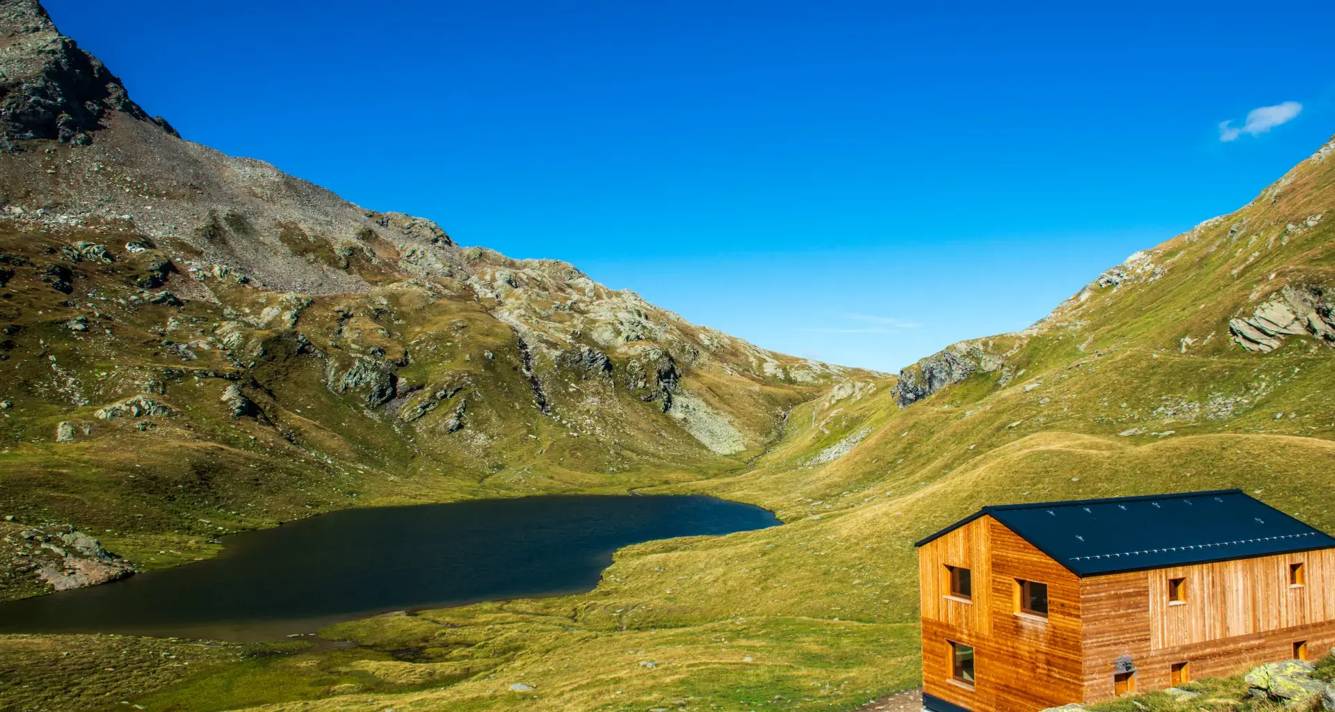
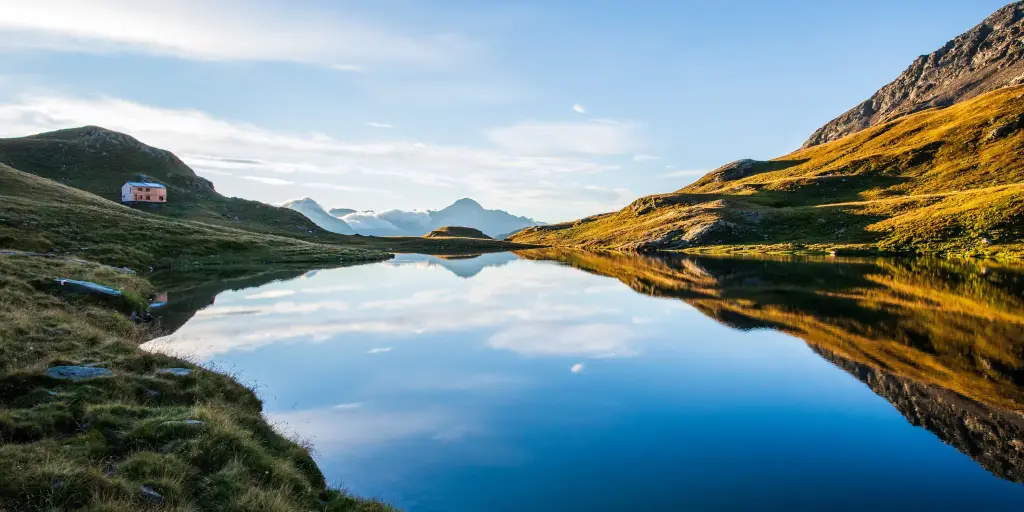
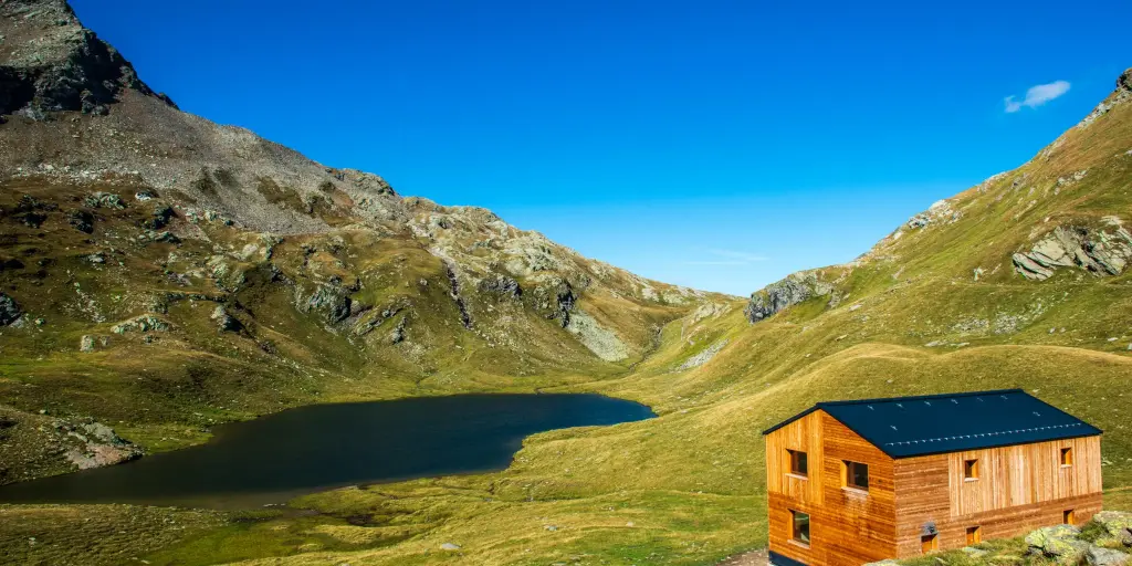
    Lake Baldiscio is located on the orographic right side of the Spluga Valley, in the heart of the Lepontine Alps.

    Details

    To travel on the consortium road, you must purchase a transit permit at the kiosk on the eastern outskirts of Isola.

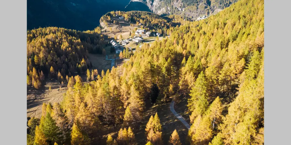
    After passing through the village of Isola via a series of hairpin turns, you’ll reach the beautiful mountain huts of Cà Raseri; cross the bridge on the left, and immediately on the right you’ll see the dirt road to take.

    Leave your car in one of the parking lots, cross the stream over the small wooden bridge, and walk through a beautiful larch forest.

    Follow the well-marked trail, which quickly leads to Alpe Borghetto (1,897 m).

    Once past the mountain huts, the trail—which remains clearly visible and well-marked (with signposts)—turns sharply westward through vast, magnificent pastures.

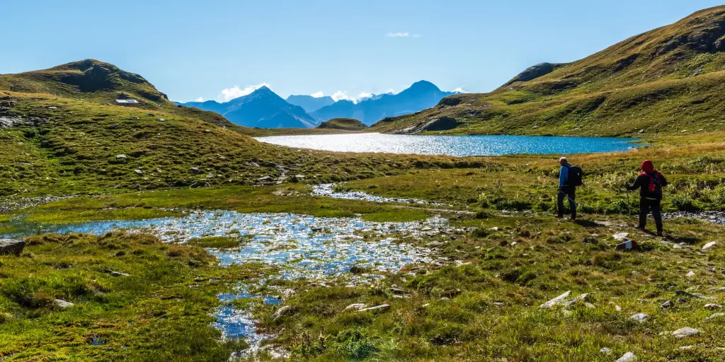
    Never too strenuous, it reaches a prominent morainic ridge leading to the shores of Lago Grande (2,353 m).

    You can continue past the small Lake Mot and on to the Baldiscio Pass, fifty meters higher up.

    The brand-new, staffed mountain hut, reflected in the calm waters of the lake, is beautiful and well-located.

    For reservations:

    Tel. +39 3793937115 rifugiobaldiscio@outlook.it

    Informations

    Difficulty: Hard

    Duration: 3:40 h

    Distance: 7,22 km

    Ascent: 1056 mt

    Descent: 5 mt

    Highest point: 2306 mt

    Lowest point: 1250 mt

    Best time of year:

    Jan
    Feb
    Mar
    Apr
    May
    Jun
    Jul
    Aug
    Sep
    Oct
    Nov
    Dec

    Download the GPX track
    Download the KML track

    How to get here

    Public transport: You can reach the town of Isola by taking the STPS bus on the Chiavenna–Madesimo line
    https://stps.it/

    Getting there: By car, you can reach Valchiavenna from the south via State Highway 36 (Milan–Lecco–Colico) and from Como via State Highway 340 Regina;
    from the north via the Spluga Pass (closed in winter).
    The town of Isola is located along Provincial Road 1

    Parking: At the Cà Raseri parking lot

    Starting point: get directions in Google Maps

    Infopoint
    Consorzio Turistico Madesimo
    Via alle Scuole 12
    23024 Madesimo (SO)
    0343 53015
    info@madesimo.eu
    Website

    Internazionali d’Italia Downhill DH 2026

    From 4 september 2026 to 6 september 2026

    Valchiavenna-Madesimo-internazionali d'Italia Downhill DH
    Details

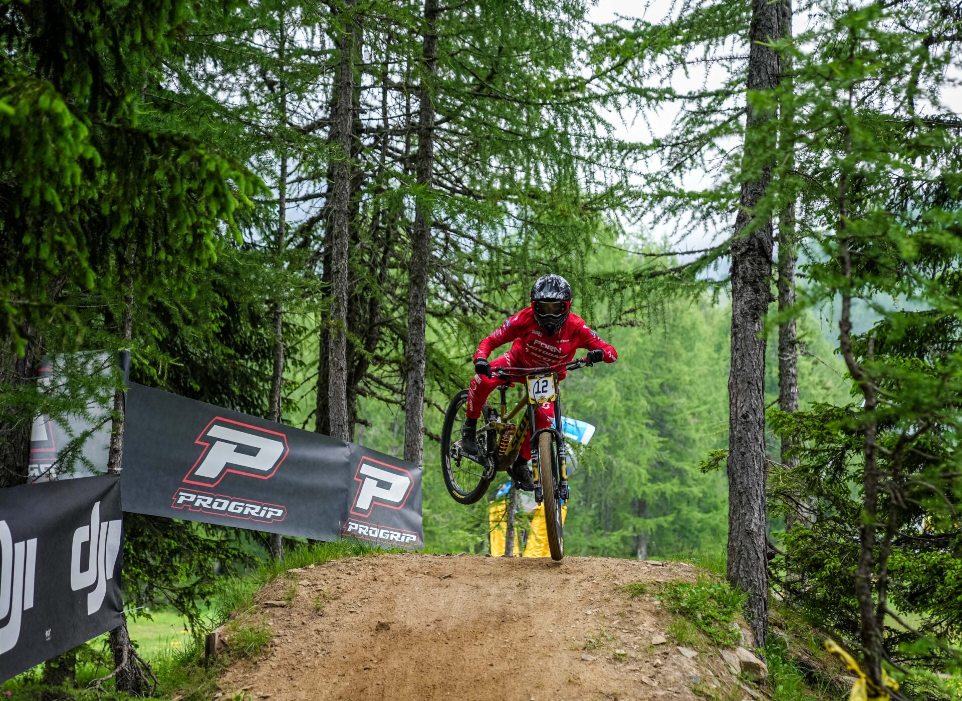
    From 4 to 6 September 2026, Madesimo becomes the capital of Italian downhill mountain biking, hosting a thrilling weekend of racing that brings together two of the most prestigious downhill series on the national calendar: the Rider Cup final, following the rounds in Aprica and Bormio, and the Italian DH Cup final, after four rounds starting in Febbio.

    Part of both the UCI international calendar and the FCI national calendar, the event will bring some of the best Italian and international downhill riders to Madesimo, in Valchiavenna, ready to battle it out on one of the Alps’ most iconic downhill tracks.

    The track: the legendary Valle delle Streghe

    The action will take place on the Valle delle Streghe track, which already hosted the championship in 2025. Riders describe it as a course that puts both technical skills and courage to the test, with challenging technical lines, high-speed sections, roots, rock gardens, natural jumps and spectacular berms.

    It is the perfect combination for fans of extreme mountain biking and downhill racing, set against the unique natural backdrop of the mountains of Valchiavenna.

    The three-day programme

    • Friday 4 September: 1.00 pm – 5.30 pm, controlled practice (free practice)
    • Saturday 5 September: 9.00 am – 11.30 am, controlled practice; 12.00 pm, qualifying run
    • Sunday 6 September: 9.00 am – 11.30 am, assisted free practice; 12.00 pm, race run

    The final times for the qualifying and race runs will be confirmed only after registration closes.

    Prizes and awards

    The excitement continues on the podium, with cups and trophies for all winners, including youth and Masters categories, as well as a total prize fund of €6,000, divided as follows:

    • €2,000 for elite riders (€1,000 men, €1,000 women)
    • €2,000 scholarship fund for the Esordienti category
    • €2,000 scholarship fund for the Allievi category

    Free entry for spectators

    Admission to the event is completely free. Come and experience the adrenaline of downhill racing first-hand, cheer on the riders and enjoy the spectacular mountain scenery of Valchiavenna.

    An unmissable event for mountain biking and downhill enthusiasts, confirming Valchiavenna and Madesimo as leading destinations for outdoor sports and adventure in Lombardy.

    Infopoint
    Consorzio Turistico Madesimo
    Via alle Scuole 12
    23024 Madesimo (SO)
    0343 53015
    info@madesimo.eu
    Website

    Alpe Motta Uphill Time Trial

    27 september 2026

    Details

    The event, which is part of the “Valtellina Race Series” provincial circuit established in 2025, will serve this year as the single-round FCI (Italian Cycling Federation) Provincial Championship.
    The event features an official federal competitive race, followed by a non-competitive cycling rally open to all enthusiasts.

    Program
    09:00 AM: Meetup at Piazza del Muvis in Campodolcino; registration desk opens for on-site sign-ups and bib collection.
    11:00 AM: Mass start (unified group for both competitive athletes and non-competitive rally participants).
    Restrooms and showers will be available at the finish area.
    Following the event, a discounted lunch will be held at the Tambò restaurant for an extra fee of €15 per participant, which includes pizzoccheri bianchi (local white pasta), a slice of pie, a drink, and coffee. Reservations can be made by calling 034350079.
    The award ceremony will take pace in the afternoon.

    Route Details
    Neutralized Zone: The event will feature a controlled start at a moderate speed behind the organization’s lead vehicle, from Piazza del Muvis up to the Hotel Europa, to ensure participant safety through the town center.
    Timed Section: Official time tracking will begin at Hotel Europa. Participants will ride along the old road up to Pianazzo, continue on the cycling-pedestrian path towards Madesimo, and finish the race at Motta Bassa, right at the historic finish line that previously hosted a Giro d’Italia stage finish.

    Categories and Registration Fees
    Participants can register for one of the following categories:
    – Competitive Race (FCI): €15.00 in advance / €20.00 on race day.
    A timed race included in the official category rankings. Participants must hold a valid federation or sports association membership card and a current medical certificate for competitive sports. Road bikes, gravel bikes, and mountain bikes (MTBs) are allowed.
    – Non-Competitive Rally: €10.00 in advance / €10.00 on race day.A non-timed cycling tourism event open to everyone aged 14 and over. No competitive medical certificate is required. Road bikes, gravel bikes, mountain bikes (MTBs), and e-bikes (pedal-assist) are allowed.

    Payment Methods
    Payment can be made through the following channels:
    – Bank Transfer: Details and IBAN coordinates will be automatically sent via email to the address provided during registration.
    – In Cash at the Infopoints in Chiavenna and Campodolcino.
    – On-site the morning of the event, from 09:00 AM to 10:45 AM, at the organizing desk in Piazza del Muvis.
    Register at this link: https://forms.gle/9as3x6Pqf1yyX19t9

    Infopoint
    Consorzio Turistico Valchiavenna
    Via Don Romeo Ballerini, 2
    23021 Campodolcino (SO)
    0343 50611
    campodolcino@valtellina.it
    Consorzio Turistico Valchiavenna
    Piazza Caduti per la Libertà, 4
    23022 Chiavenna (SO)
    0343 37485
    consorzioturistico@valchiavenna.com
    Attachments

    The Valchiavenna Museum Pass (B.U.M)

    Valchiavenna

    A single carnet to discover the cultural, historical, archaeological, and natural heritage of Valchiavenna.

    Details

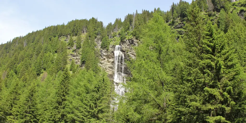
    The Museum Pass (Biglietto Unico Museale – B.U.M.) is a carnet that allows visitors to explore 12 museums plus the Acquafraggia Waterfalls Natural Monument for a special price of 10 euros.
    It’s a great opportunity to discover some of the most significant sites in Valchiavenna, including museums, archaeological sites, historic buildings, and natural landscapes of great value.

    What the Museum Pass Includes
    The carnet grants access to the following cultural sites in Valchiavenna:

    • Paradiso Archaeological-Botanical Park, Chiavenna
    • Treasury Museum of the Collegiate Church of San Lorenzo, Chiavenna
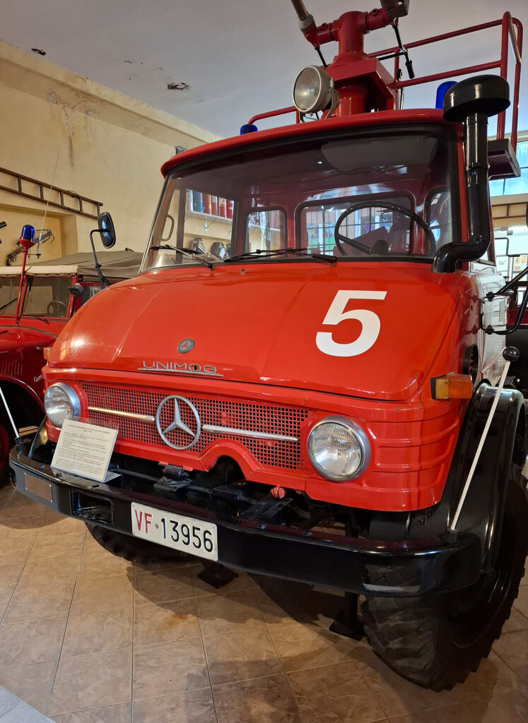
    • Historical Gallery of the Valchiavenna Civic Firefighters, Chiavenna
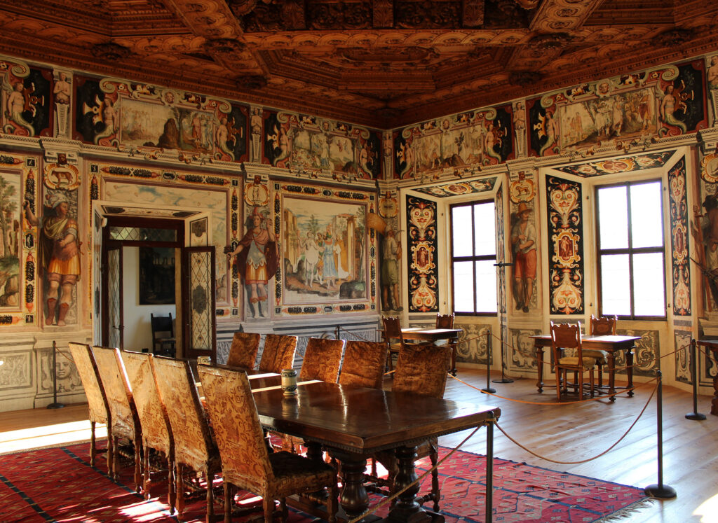
    • Palazzo Vertemate Franchi, Piuro
    • Piuro Excavations Museum, Piuro
    • Acquafraggia Waterfalls Natural Monument, Piuro
    • Mu.Vi.S. – Museum of the Via Spluga and Val San Giacomo, Campodolcino
    • San Fedelino Chapel, Novate Mezzola
    • Picaprèda Museum, Novate Mezzola
    • Historical, Ethnographic and Naturalistic Museum of Val Codera, Novate Mezzola
    • Milk Museum, Mese
    • Samolaco Museum
    • Mina Gallery, Verceia

    The Museum Pass is therefore a simple and convenient way to plan an itinerary exploring the culture and history of Valchiavenna, through places and testimonies that tell the story of the territory and its traditions.

    Where to Buy the Museum Pass
    The B.U.M. can be purchased for 10 euros at the Infopoints in Chiavenna, Campodolcino, and Madesimo, as well as at participating businesses and museums that request it.

    Pass Validity
    The Museum Pass can be used until December 31st of the year of purchase and is transferable. This means the carnet can be used across multiple visits, letting you organize your tour of the participating sites according to your own schedule and itinerary in Valchiavenna.

    How the Museum Pass Works
    Using the B.U.M. is simple.
    Just visit one of the museums or cultural sites participating in the initiative and hand the carnet over at the ticket office. The staff member will detach the coupon corresponding to the site being visited, granting access to the venue.

    The Valchiavenna Museum Pass is the ideal solution for anyone wishing to enjoy a complete cultural experience and discover, with a single carnet, the museums, monuments, archaeological sites, and natural beauty of the area.

    Infopoint
    Consorzio Turistico Valchiavenna
    Piazza Caduti per la Libertà, 4
    23022 Chiavenna (SO)
    0343 37485
    consorzioturistico@valchiavenna.com

    Pizzo Stella Loop

    Valchiavenna

    The Pizzo Stella Loop is an extreme trail running route designed for experienced trail runners and sky runners accustomed to long distances and significant elevation gain. The route crosses some of the most spectacular landscapes of Valle Spluga and includes technical and exposed sections that require experience and attention.

    Details

    The Pizzo Stella Loop starts at the Campodolcino Sports Centre, where runners can use free parking, a bar and changing rooms with showers before and after one of the most demanding experiences in the trail network.

    From the Campodolcino Sports Centre, the route climbs towards Fraciscio, Gualdera, Bondeno and Avero along a mule track. From here, the trail becomes progressively steeper and more technical until Passo Avero, from where wide views open over Valchiavenna and Val Bregaglia.

    The route continues towards Lake Acquafraggia and the mountain huts of Alpe Piangesca, before climbing to Passo di Lei, the highest point of the route. Just below the pass are Bivacco Chiara e Walter and several glacial lakes surrounded by large granite boulders.

    A long descent leads into Val di Lei to the lake of the same name, crossing one of the wildest sections of the entire route. The trail then climbs towards Passo Angeloga, following several small lakes and Lago Nero before reaching Rifugio Chiavenna.

    The final section of the route follows the trail towards Alpe Motta and continues along a panoramic traverse where chamois and ibex can be spotted. After passing near Lago Azzurro, the descent crosses Motta di Sotto and returns to Campodolcino.

    The Pizzo Stella Loop is one of the most technical routes in the project developed with the contribution of Francesco Puppi. The collaboration with one of the leading figures in international trail running has helped enhance spectacular routes capable of providing high-level training in the heart of Valle Spluga.

    Water points: Campodolcino, Fraciscio, Gualdera, Bondeno, Avero, Rifugio Chiavenna, Motta Alta and Motta di Sotto.

    Note: the section between Avero and Rifugio Chiavenna (approximately 20 km) has no sources of drinking water. Water can be obtained from some streams along the route; using a water filter is recommended.

    Informations

    Distance: 36,2km +2800m
    Difficulty: 5 stars
    Scenery: 5 stars

    Infopoint
    Consorzio Turistico Valchiavenna
    Via Don Romeo Ballerini, 2
    23021 Campodolcino (SO)
    0343 50611
    campodolcino@valtellina.it
    Upper Valle Spluga Loop

    Valchiavenna

    The Upper Valle Spluga Loop is a challenging route for experienced trail runners, ideal for those accustomed to long distances and significant elevation gain. The route alternates smoother sections with more demanding sections and represents effective training for ultra-trail races.

    Details

    The starting point is the Campodolcino Sports Centre, which is easily accessible and equipped with free parking, a bar and changing rooms with showers, services particularly appreciated by athletes who use the valley for training.

    From the Campodolcino Sports Centre, the route follows the viaSpluga through a fir forest until reaching Lake Isola. From here, it continues towards Mottaletta and proceeds through meadows, larch forests, alpine pastures and streams until reaching the Cardinello Gorge.

    After passing through the gorge, the route reaches the dam and Lake Montespluga. The new cycle path leads to the turn-off for Lago Nero, followed by a demanding climb to one of the panoramic points along the route.

    From Lago Nero, the route continues towards Lake Emet and Rifugio Bertacchi, immersed in the granite landscape of Pizzo di Emet. The descent quickly leads to Madesimo, from where the route climbs towards Alpe Motta along a mule track that crosses the hairpin bends.

    From Motta, a forest road leads towards Fraciscio, before the final descent back to Campodolcino.

    This route is part of the project developed with Francesco Puppi, who built part of his preparation for some of his most important international competitions precisely on the trails of Campodolcino, confirming the technical value of Valle Spluga for trail running.

    Water points: Campodolcino, Isola, Mottaletta, Rasdeglia, Montespluga, near Lake Emet, Madesimo, Motta and Fraciscio.

    Informations

    Distance: 35km +1720m
    Difficulty: 3 stars
    Scenery: 4 stars

    Infopoint
    Consorzio Turistico Valchiavenna
    Via Don Romeo Ballerini, 2
    23021 Campodolcino (SO)
    0343 50611
    campodolcino@valtellina.it
    Search in the website