
Valchiavenna
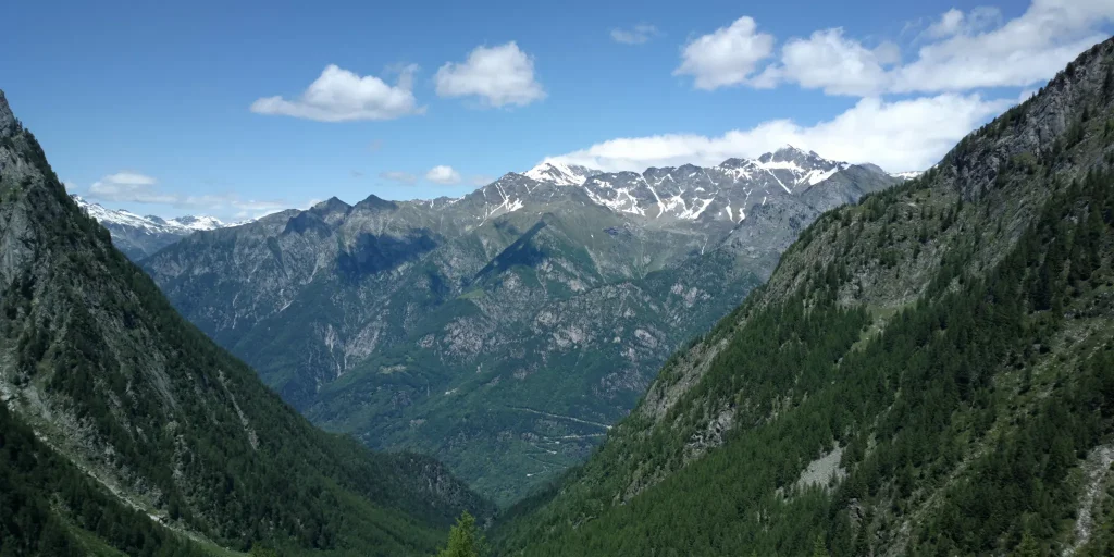
Discovering a little-known place frequented by those who love high-altitude trekking.Garzonedo is located in one of the most beautiful and unspoiled valleys in the area: the Val Aurosina, which climbs imperviously on the left bank of the Italian Bregaglia, in the municipality of Piuro. It is one of the corners that still remain unspoiled in Valchiavenna.
Its difficult geographical conformation, combined with a particularly rich nature, have preserved this stupendous ravine from human action over the years. Impossible not to be captivated by such wild beauty. And it was precisely with those hikers in mind who like to follow the less beaten paths, far from the most frequented routes, that the volunteers of the Cai Chiavenna wanted to build a bivouac that, due to its particular conformation, fits in an almost symbiotic way with the surrounding environment, employing construction materials taken on site: wood and stone.
The bivouac is equipped to accommodate up to eight beds, has a few blankets and a small heater connected to the gas cylinder. It is designed to provide overnight shelter for those who travel long distances on foot or for those caught in a blizzard or stranded in a violent thunderstorm. There are no food supplies, and water, should guests lack it, must be drawn from a nearby stream.
There are several routes that reach Garzonedo.
The most direct is the one that from Santa Croce di Piuro, climbs torturously up to the 1943 meters of the bivouac.For those moving by car, it is possible to leave the vehicle in one of the parking lots in the hamlet, following on foot the signs for Crotto Quartino. From here, continue on the path up the narrow gorge through which the Aurosina stream flows. The starting elevation is about 500m.
The first stop is the nucleus of Tabiadascio at about 1250m elevation. Once past the edge of the forest, it becomes essential to maintain contact with the red and white pass markers. The climb gets tough and gradually, following the repeated switchbacks, you reach Garzonedo, where the bivouac is located, visible thanks to the double red-white coloring on the entrance door. From the bivouac one can head toward Bocchetta di Scilano, at almost 2200 meters above sea level. Alternatively, one can pass by Lago del Grillo, returning to the valley from Uschione, in the municipality of Chiavenna. For any information, it is advisable to make contact with local mountain guides.
Difficulty: Hard
Duration: 4:40 h
Distance: 6,57 km
Ascent: 1494 mt
Descent: 57 mt
Highest point: 1944 mt
Lowest point: 505 mt
Best time of year:
Public transport: It is possible to reach Santa Croce di Piuro by bus connection STPS line.
For schedules https://www.stps.it/
Getting there: follow the SS37 towards Maloja
Parking: For those moving by car, it is possible to leave the vehicle at one of the parking lots in the hamlet, following the signs to Crotto Quartino on foot.
Starting point: get directions in Google Maps
Piazza Caduti per la Libertà, 4
23022 Chiavenna (SO)
0343 37485
consorzioturistico@valchiavenna.com
Valchiavenna
Related experiences

Via Bregaglia Between Valchiavenna and Switzerland
The Via Bregaglia crosses one of the most distinctive alpine regions between Switzerland and Italy, following the valley through mountains, small villages, and landscapes shaped by both nature and human activity. The route follows a network of marked trails and historic paths linking Val Bregaglia to Chiavenna, allowing visitors to discover a variety of environments […]

Bregaglia Terraces Between Savogno, Dasile and Corbia
The route follows the sunny side of the valley above Piuro and Chiavenna, connecting three historic settlements located at different elevations. Savogno, Dasile and Corbia are linked by a trail that combines more demanding hiking sections with panoramic walks, allowing visitors to discover some of the most remarkable scenery in Valchiavenna. The route can be […]
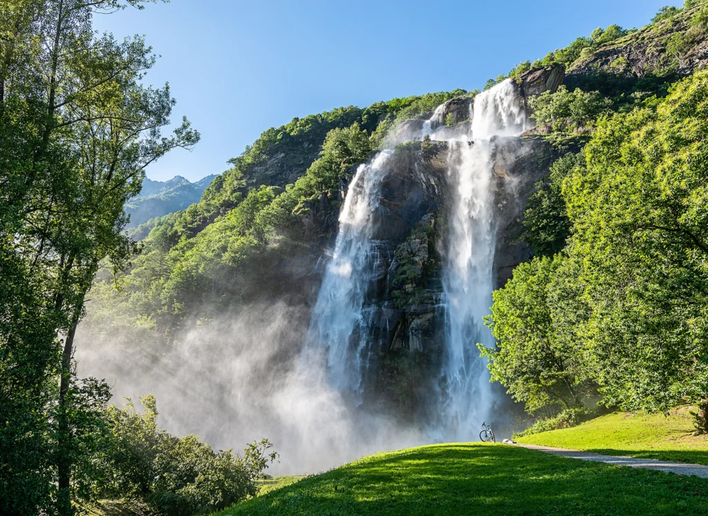
Acqua Fraggia waterfall scenic loop – Savogno
Start at the base of the impressive falls, where, among the meadows to their right, a path crosses a small stream. From here, on the left, you are in the vicinity of the last houses of the Sarlone district; still on the left, along the path through dense woods, you quickly ascend to the first […]

Hotel
Comfortable stays in the heart of Valchiavenna, combining hospitality, services and Alpine landscapes to experience in every season.

Bed & breakfast
Small properties and welcoming atmospheres to experience Valchiavenna simply, with authentic hospitality and a strong connection to the local area.

Holiday homes
Independent accommodation solutions to feel at home even on holiday and discover Valchiavenna at your own pace.

Mountain huts and campsites
Hospitality immersed in nature, among local traditions, mountain life and the pleasure of experiencing the area more closely.