Valchiavenna
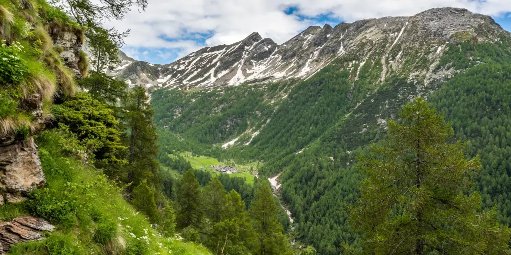
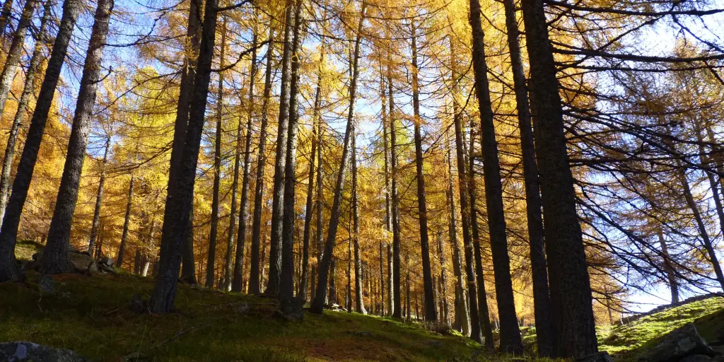
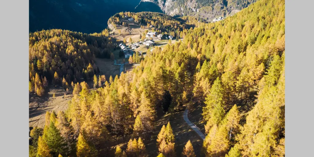
The route starts in Gualdera di Campodolcino and leads to the small rural villages of Bondeno and Avero, returning along the same trail. It is a hike of about 6 km in total, with 430 meters of elevation gain and an estimated duration of about 2 hours and 30 minutes. The route winds mainly through forests, mountain trails, and ancient rural settlements, making it particularly picturesque in the fall thanks to the colors of the fall foliage.
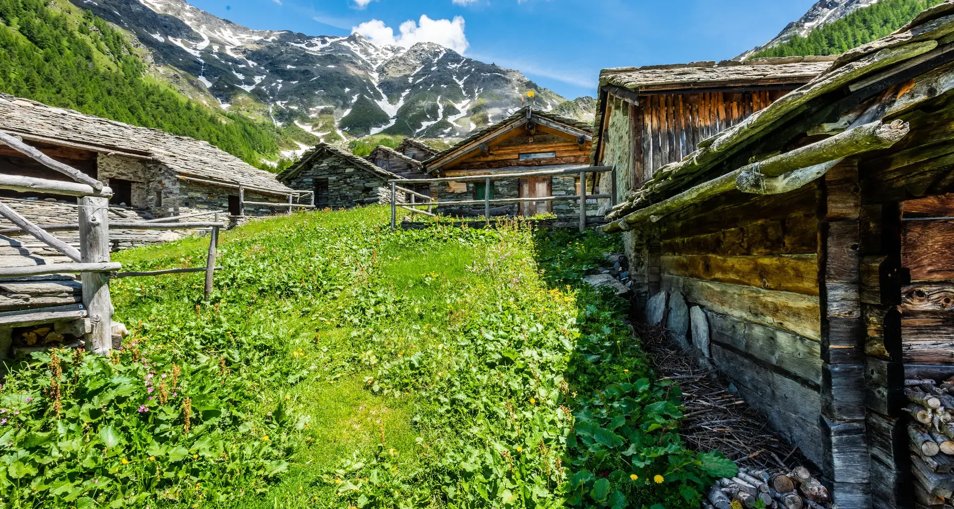
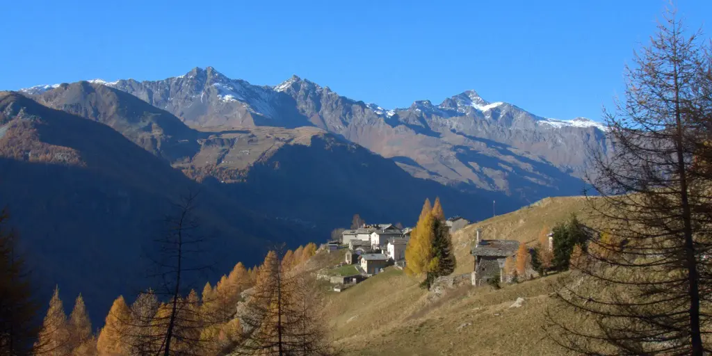
From Gualdera, the trail initially winds through the wooded landscape of the Spluga Valley and leads to Bondeno, a small rural hamlet nestled in the mountains, offering beautiful views of the valley. Continuing on, you reach Avero, situated at an elevation of about 1,678 meters, one of the area’s ancient Alpine settlements. The village still preserves numerous traditional stone and wood buildings, a testament to how mountain communities organized their lives in centuries past:“i Carden”
The return to Gualdera follows the same trail taken on the way there.
Difficulty: Medium
Duration: 2:20 h
Distance: 5,53 km
Ascent: 433 mt
Descent: 174 mt
Highest point: 1790 mt
Lowest point: 1416 mt
Best time of year:
Public transport: You can reach Campodolcino by taking the STPS, which runs dailyfrom Chiavenna.
From Campodolcino, near the church and the Roman bridge, you can hike up to Fraciscio/Gualdera.
Summer shuttle buses.
Starting point: get directions in Google Maps
Via Don Romeo Ballerini, 2
23021 Campodolcino (SO)
0343 50611
campodolcino@valtellina.it
Valchiavenna
Related experiences
To the Baldiscio Lakes
To travel on the consortium road, you must purchase a transit permit at the kiosk on the eastern outskirts of Isola. After passing through the village of Isola via a series of hairpin turns, you’ll reach the beautiful mountain huts of Cà Raseri; cross the bridge on the left, and immediately on the right you’ll […]
Carden of Valchiavenna: Ancient Stone Granaries of Alpine Tradition
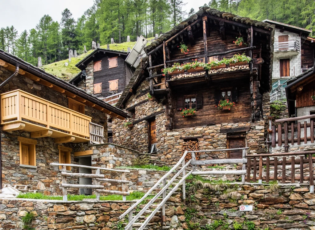
The carden of Valchiavenna are simple yet ingenious buildings, found mainly in rural hamlets and farming areas throughout the valley. Built primarily from stone and wood, they served as storage buildings for harvested crops, small agricultural warehouses and spaces for preserving food and the tools needed for everyday mountain life. One of the most distinctive […]
Carducci Trail in Madesimo: Nature, History and Alpine Scenery
In the heart of Valle Spluga, Madesimo still preserves a strong connection with the figure of Giosuè Carducci, who visited this Alpine destination several times between the late nineteenth and early twentieth centuries. It is from this historical connection that the Carducci Trail was created, offering a cultural and nature itinerary that retraces the places […]

ViaSpluga Between Valchiavenna and Switzerland
The ViaSpluga follows an ancient communication route that has been used since Roman times to cross the Alps and connect Northern Europe with Italy. Today, the trail still preserves much of its original character, following historic mule tracks, alpine roads and paths shaped over centuries by merchants, pilgrims and travellers. The route stretches between Switzerland […]

Caurga della Rabbiosa in Campodolcino
Located in the municipality of Campodolcino, in the heart of Valle Spluga, the Caurga della Rabbiosa is one of the most striking examples of how water has shaped the Alpine landscape. Over the centuries, the Rabbiosa stream has carved a narrow gorge into the rock, creating vertical walls, natural cavities and deep incisions that make […]

Hotel
Comfortable stays in the heart of Valchiavenna, combining hospitality, services and Alpine landscapes to experience in every season.

Bed & breakfast
Small properties and welcoming atmospheres to experience Valchiavenna simply, with authentic hospitality and a strong connection to the local area.

Holiday homes
Independent accommodation solutions to feel at home even on holiday and discover Valchiavenna at your own pace.

Mountain huts and campsites
Hospitality immersed in nature, among local traditions, mountain life and the pleasure of experiencing the area more closely.