
Valchiavenna
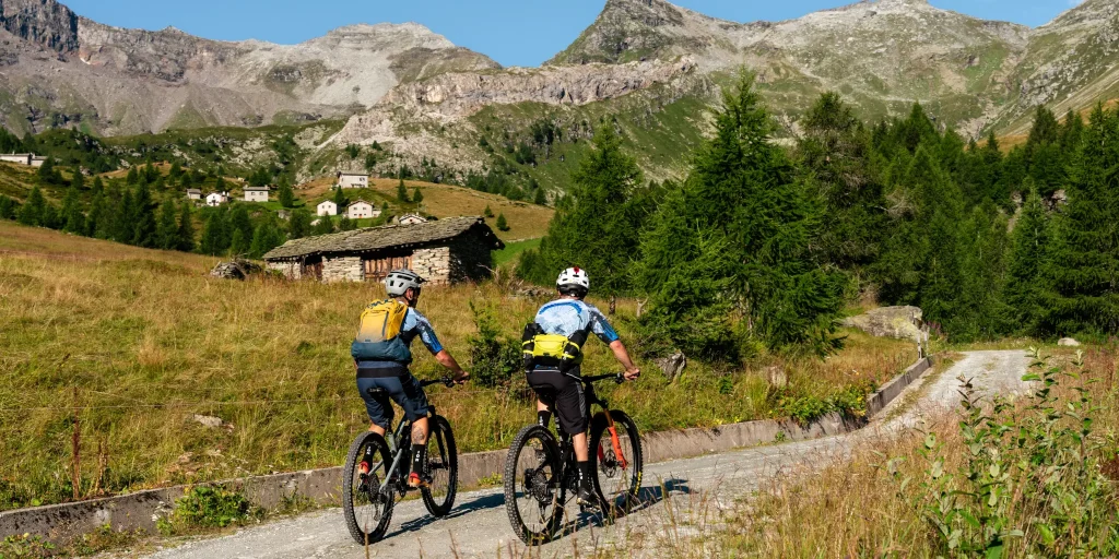
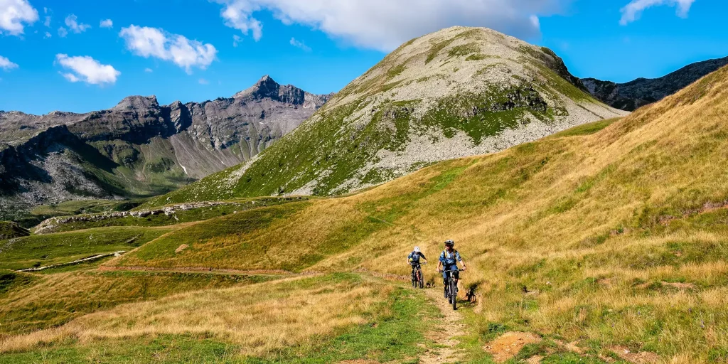
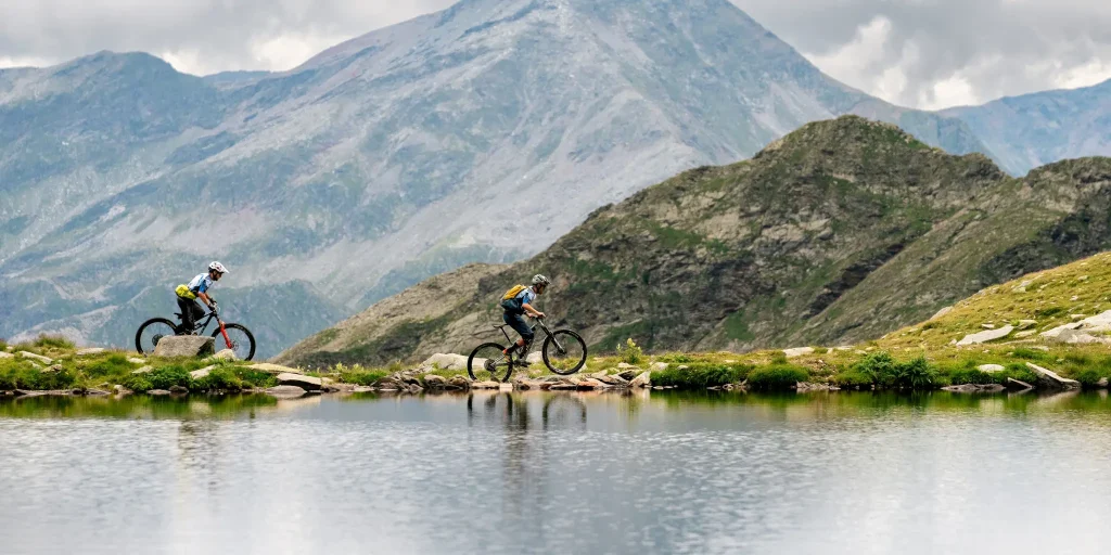
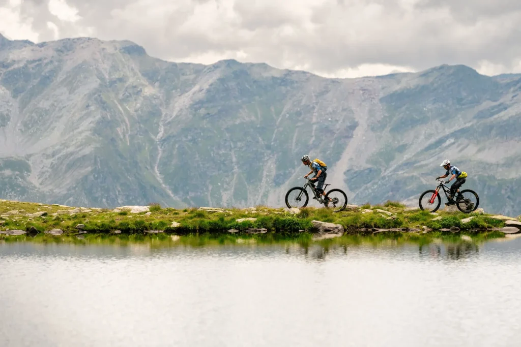
Pian dei Cavalli is one of the most beautiful and well-known places in the Spluga Valley.
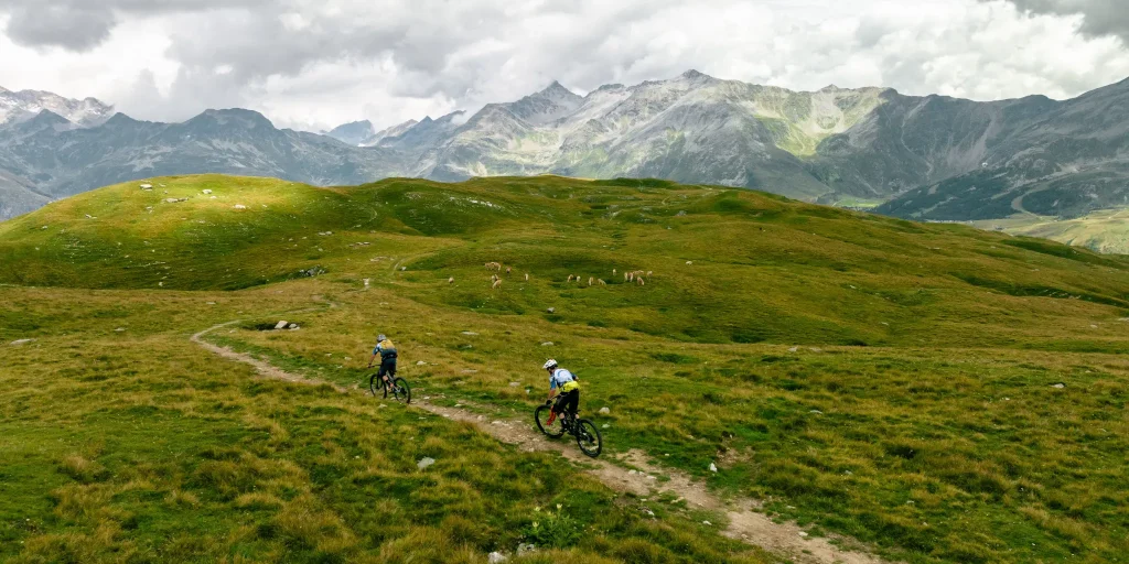
It is a wide and bright plateau with pastures, limestone rocks, caves and sinkholes that separates the Starleggia Valley, to the south, from the Febbraro Valley, to the north.
It is an archaeological site where evidence of the presence of hunter nuclei from the Mesolithic period, that is, about 10,000 years ago, has been found in the past decades.
At the end of the village of Campodolcino, follow the provincial road SP1 sunken into the narrow valley floor to the picturesque village of Isola, of which you follow the municipal road and then turn left in front of the historic Cardinello inn, an important stopping point on the Via Spluga. From here you follow an uphill paved section that flanks the old parish church of Ss. Martino and Giorgio and then continue on the paved road to Mottaletta, a typical rural nucleus with fine specimens of carden. Before the nucleus, turn left onto a paved consortium road that climbs through pastures to Cà Raseri (m 1480). Here cross the bridge over the Febbraro stream taking the right hydrographic slope and climb on mixed ground to the Frondaglio alp (m1820) crossing larch woods.
Passing the last huts of the Frondaglio alp, the panorama opens up offering a spectacular view of the upper Vallespluga. the forest gives way to wide pastures characterized by the presence of rhododendrons and alpine flowers. The new trail climbs with varying gradients until it reaches the center of the vast plateau of Pian dei Cavalli (m 2100). From here we descend to the southern edge of the plateau with gentle slopes on mixed ground, arrived above the Toiana Alp (m 1925) the trail descends for a few hairpin bends and then follows a long traverse with moderate gradients until entering the basin of S. Sisto. Cross a small bridge to the center of the valley and descend to the former quarry of S. Sisto (m 1769)and then follow the white consortium road to Starleggia (m 1560) and from here reach Campodolcino on a paved municipal road.
Difficulty: Hard
Duration: 4:25 h
Distance: 25,36 km
Ascent: 1061 mt
Descent: 1061 mt
Highest point: 2110 mt
Lowest point: 1082 mt
Best time of year:
Starting point: get directions in Google Maps
Via Don Romeo Ballerini, 2
23021 Campodolcino (SO)
0343 50611
campodolcino@valtellina.it
Valchiavenna
Related experiences

Splügen Pass in Valchiavenna
Situated at over 2,100 metres above sea level, the pass links Valle Spluga with the Canton of Graubünden, following one of the oldest Alpine crossings between the Mediterranean region and Northern Europe. Since Roman times, this route has played a key role in trade and communication across the Central Alps, maintaining its strategic and cultural […]

Made Bike Park Madesimo
Located in the heart of the Skiarea Valchiavenna, Made Bike Park is a key destination for downhill and enduro mountain bike enthusiasts. Set on the alpine slopes of Valle Spluga, the park uses the ski lifts to allow riders to quickly reach higher elevations and enjoy descents through a spectacular mountain environment. The park features […]
Campodolcino to Fraciscio
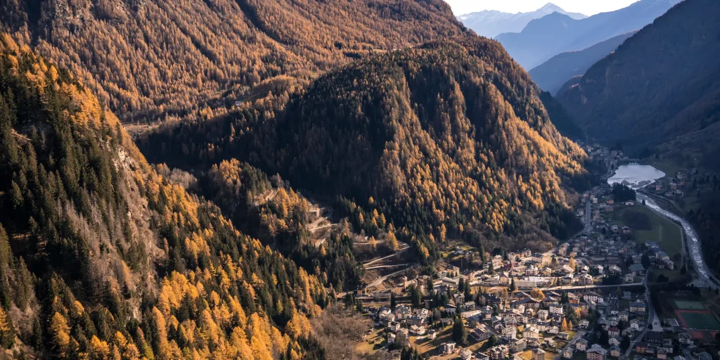
A short but intense climb, a favorite of local cyclists to warm up their legs before continuing on to the Spluga Pass. The small village in the hamlet of Fraciscio, home of saint Don Luigi Guanella, is characterized by a welcoming atmosphere and the hospitality of its inhabitants. Lying on the orographic right bank, this […]
Campodolcino to Starleggia
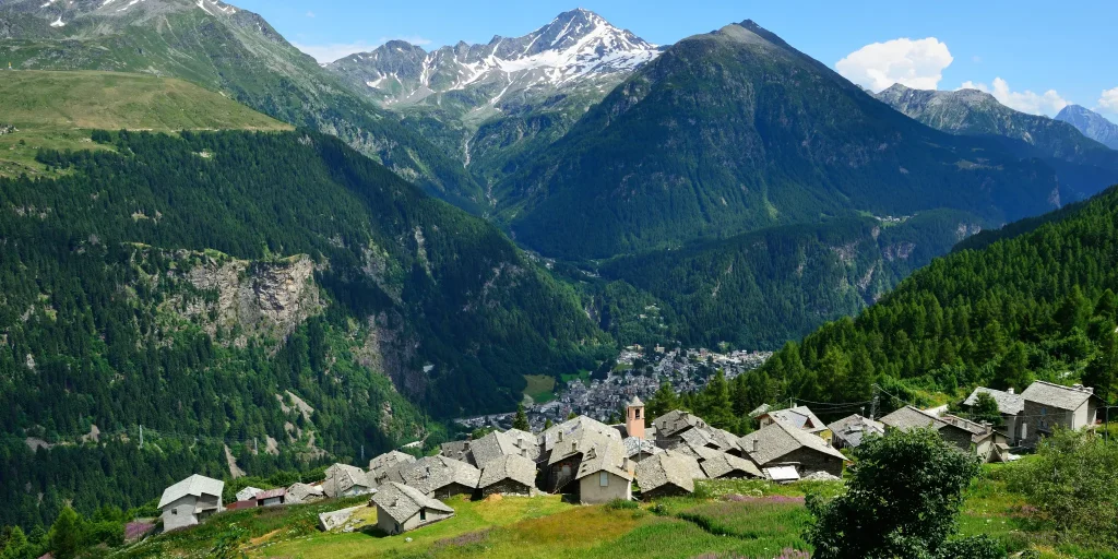
This hamlet of Campodolcino is located on the right side of the valley in a panoramic position and is 1,565 meters above sea level on one of the minor shelves below the large rocky escarpment that truncates the Pian dei Cavalli and Piana di San Sisto to the east. Once at the top there is […]

Hotel
Comfortable stays in the heart of Valchiavenna, combining hospitality, services and Alpine landscapes to experience in every season.

Bed & breakfast
Small properties and welcoming atmospheres to experience Valchiavenna simply, with authentic hospitality and a strong connection to the local area.

Holiday homes
Independent accommodation solutions to feel at home even on holiday and discover Valchiavenna at your own pace.

Mountain huts and campsites
Hospitality immersed in nature, among local traditions, mountain life and the pleasure of experiencing the area more closely.