
Valchiavenna
A descent of extraordinary regularity.
The route to Voga is distinguished by a rare feature in the Alpine landscape: a gradient of exceptional constancy. With an average of 6.2%, this climb is a perfect example of harmonious gradualness, where sections exceeding 10% are an absolute rarity.
Segmental analysis reveals a technical profile of great balance: the first kilometer welcomes the cyclist with a gentle introduction at 6.2%, while the most challenging sections-the ninth and eleventh kilometers-reach just 9% without ever presenting prohibitive ramps. The central body of the climb maintains a methodical progression between 7 percent and 8.5 percent, creating a natural and sustainable pedaling pace.
The only notable bumps occur in the straight after Foppo, where the road briefly touches 12 percent, and at kilometer 10.6 with a peak of 12.5 percent. These passages, however, never compromise the overall harmony of the ascent.
The climb starts from the fork in the Trivulza Provincial Road (km 11.6), just before the bridge over the Crezza stream, where a right turn toward Coloredo and Menarola marks the beginning of the adventure. The initial route skirts the crystal-clear waters of the Crezza, which rushes down from the Forcola Valley, offering striking views that are renewed at every turn.
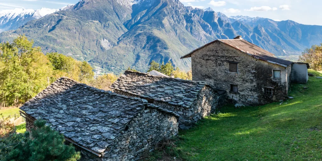
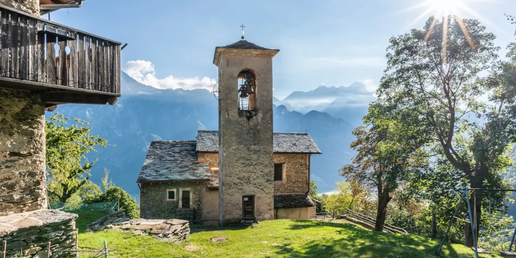
The route passes through the quaint scattered municipality of Menarola, a gem of just 43 inhabitants that has retained its dispersed soul: instead of an urban center, a constellation of hamlets winds along the mountainside. The route touches on authentic alpine gems: Motto (km 2.5), Gradisello (km 3.1), the lonely town hall (km 3.5), Castanedi (km 5.0) with its evocative Church of Our Lady of Sorrows, Foppo (km 8.5) and finally Voga (km 9.5).
The road surface presents a mosaic of conditions: mostly fair, it nevertheless requires the utmost care in the short bumpy sections, which are particularly dangerous downhill. The last mile and a half constitutes a real test of technical skill, with deteriorated asphalt and treacherous concrete culverts.
The narrowed roadway from the hamlet of Coloredo makes crossing between vehicles a tricky maneuver, offset fortunately by virtually nonexistent traffic. The trail meanders with a total of 29 hairpin bends (25 up to Voga, 4 in the final section), following the mile markers of SP 3 “di Menarola” to the town hall.
The woods provide valuable natural shade: chestnut groves in the initial sections give way to larch and birch in the higher elevations, creating a green tunnel that protects from the summer sun. The area is generous with sources of the purest water.
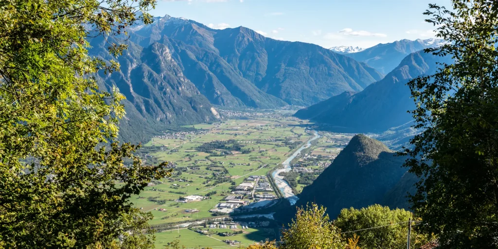
The natural end of the ascent coincides with the hamlet of Voga (1057 m), reached at kilometer 9.3, where a panoramic scenery of rare beauty opens up: to the right the Chiavenna plain stretches as far as Lake Novate Mezzola, frontally rises the imposing Pizzo di Prata, while to the left the peaks of Val Bregaglia draw a picture-postcard alpine horizon.
For the more determined, a final appendage (interdicted to unauthorized traffic) leads toward the maggenghi located close to 1,200 meters, offering an even more exclusive epilogue to this hidden gem of the Rhaetian Alps.
Difficulty: Medium
Duration: 1:40 h
Distance: 11,24 km
Ascent: 811 mt
Descent: 55 mt
Highest point: 1053 mt
Lowest point: 297 mt
Best time of year:
Starting point: get directions in Google Maps
Via Don Romeo Ballerini, 2
23021 Campodolcino (SO)
0343 50611
campodolcino@valtellina.it
Valchiavenna
Related experiences

Pump Track Valchiavenna: Bike, BMX and Two-Wheel Skills
In recent years, Valchiavenna has increasingly invested in outdoor cycling activities, complementing its Alpine routes and mountain trails with new spaces dedicated to learning and technical skills. The pump track was created with this purpose: to provide an inclusive environment where people can safely learn to ride, improve their bike handling and develop balance and […]

Valchiavenna Cycle Path
Running along the valley floor and following the course of the Mera River, the Valchiavenna Cycle Path offers one of the most accessible and immersive ways to explore the territory between Lake Como and Chiavenna. The route crosses a variety of natural settings, alternating river sections, green areas, small villages and alpine views for much […]
Ascent from Era to Paiedo
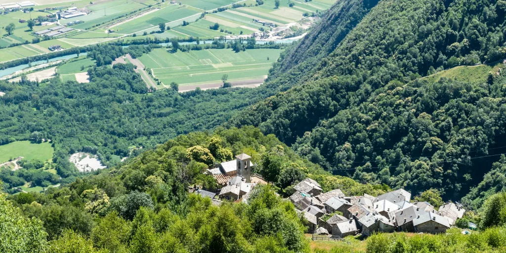
The climb begins in Era, the capital of the municipality of Samolaco, at km 5 of provincial road 2 (“Trivulzia”). It is necessary to be very careful in the first part: you must first go along via Roma and, when you arrive at the fork after the bridge, follow the signs for the church on […]
Ascent in Val Bodengo
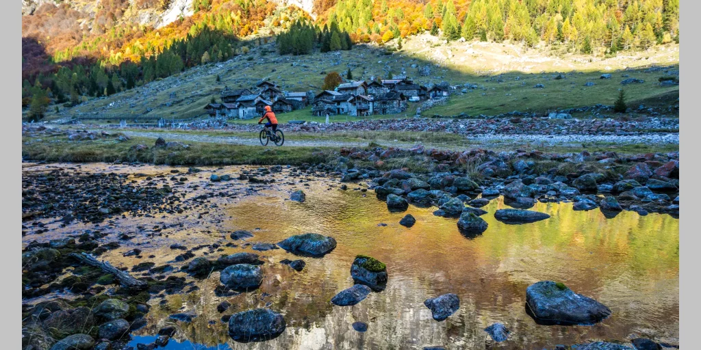
The adventure begins already on the Trivulzia Provincial Road: even the 800 meters before the junction for Valbodengo have uphill characteristics for those coming from Colico. At the crucial junction before the bridge over the Crezza stream, a left turn towards Valbodengo marks the entrance into a different world. The first stretch through Gordona still […]
Ring of Paiedo
The right opportunity to visit its surroundings with an unprecedented overview of Valchiavenna under the gaze of the southwest face of Pizzo di Prata. In addition, for those who use a full bike-that is, one that has both front and rear forks-and have downhill skills, there is also a chance to ride a technical and […]

Hotel
Comfortable stays in the heart of Valchiavenna, combining hospitality, services and Alpine landscapes to experience in every season.

Bed & breakfast
Small properties and welcoming atmospheres to experience Valchiavenna simply, with authentic hospitality and a strong connection to the local area.

Holiday homes
Independent accommodation solutions to feel at home even on holiday and discover Valchiavenna at your own pace.

Mountain huts and campsites
Hospitality immersed in nature, among local traditions, mountain life and the pleasure of experiencing the area more closely.