
Valchiavenna
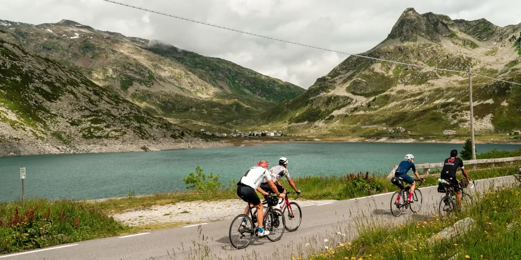
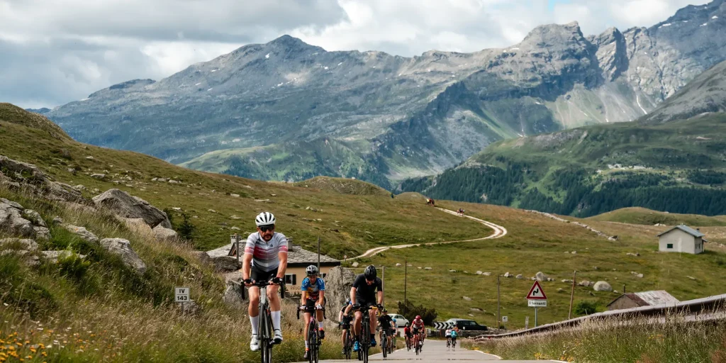
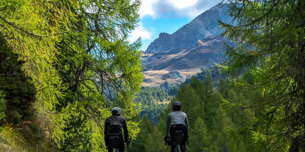
Valchiavenna's most iconic climb, which in about 30 kilometers, over 1,850 meters of positive elevation gain and an average gradient of almost 6 percent, takes you to the conquest of the Spluga Pass. Between hairpin bends and tunnels, the road offers unforgettable views at every turn.
A walk through the streets of downtown Chiavenna to admire historic buildings, museums and stores is definitely a good idea before getting on the bike.
Leaving the heart of the town, you begin to climb in altitude, facing a first sloping section at the height of the nucleus of Bette.
It continues uphill alongside the Liro Torrent, crossing the villages of San Giacomo Filippo, Gallivaggio with the shrine dedicated to the apparition of October 10, 1942, Lirone and Cimaganda.
When you reach the Campodolcino plain, you will face a flat section before riding the historic ten hairpin bends leading to Pianazzo. Along the way you will have the opportunity to admire the waterfall with a 180-meter drop. Shortly after, you meet the junction that on the right leads to the renowned tourist resort of Madesimo, while on the left begin the hairpin bends and tunnels of the Andossi from where you can enjoy a beautiful view of the entire upper Vallespluga. You then reach the artificial lake of Montespluga, the village of the same name, and the last steep hairpin bends that climb up to the Spluga Pass.
For many centuries the Spluga Pass saw the incessant transit, all year round, of wayfarers, beasts of burden, wagons and carriages. Shortly after the construction of the Spluga road, in 1823, for safety purposes during the winter period, the important avalanche protection tunnel south of the tollhouse was built. It now represents one of the last vestiges of the massive roadwork effort undertaken in the 19th century to keep ahead of the dangers of winter.
Finds from the Bronze and Iron Ages indicate that the Spluga Pass was traversed as early as prehistoric times. The name “spluga” is quite common in Valchiavenna and stands for mountain locations; it comes from “spelu(n)ca,” meaning spelonca, cave.
Difficulty: Hard
Duration: 4:10 h
Distance: 30,44 km
Ascent: 1909 mt
Descent: 119 mt
Highest point: 2114 mt
Lowest point: 324 mt
Best time of year:
Starting point: get directions in Google Maps
Piazza Caduti per la Libertà, 4
23022 Chiavenna (SO)
0343 37485
consorzioturistico@valchiavenna.com
Valchiavenna
Related experiences

Raetica Classica: the Cycling Tour through Valchiavenna, Valtellina and Switzerland
The Raetica Classica links St. Moritz and the Engadin with Valchiavenna and Valtellina through a circular route that can be travelled by bicycle and integrated with buses and railway lines. The project was created to promote a cross-border area rich in landscapes, traditions and cultural heritage, offering a slow and accessible travel experience. The itinerary […]
Chiavenna to Pianazzola
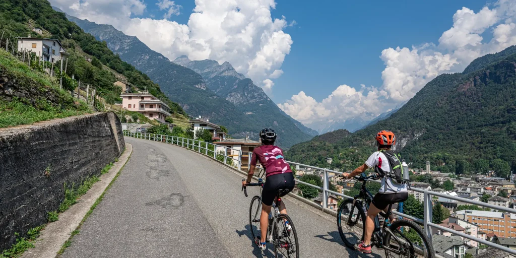
At the top, gathered in a few houses, stands the village of Pianazzola, sun-kissed even in winter and nestled in a scenic spot. The itinerary starts from the center of Chiavenna, nine are the hairpin bends and almost 5 km lead to the village, located at 635 m above sea level, offering a unique panorama: […]
Mese Ring – Sommarovina
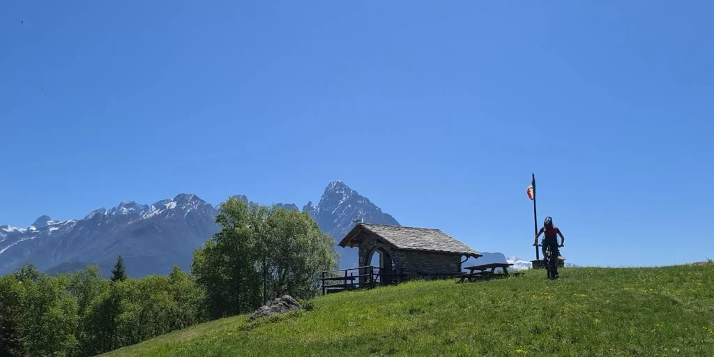
Starting from the Church of San Vittore in Mese, we enter Via Cappella Grande, skirting the important hydroelectric power plant. Keeping to the right, the road begins to climb into Via Madonna delle Grazie and continues into Via Motto. After about 250 m we turn right in the direction of Albareda. Restarting, the road continues […]
Maloja Pass from Chiavenna
From the Italian side, the ascent begins in Chiavenna: its length of no less than 32 kilometers and positive elevation gain of about 1,500 make it an undertaking suitable only for those with sufficient training. From the point of view of gradients, however, there are no major difficulties, except in the last section. In Villa […]

Hotel
Comfortable stays in the heart of Valchiavenna, combining hospitality, services and Alpine landscapes to experience in every season.

Bed & breakfast
Small properties and welcoming atmospheres to experience Valchiavenna simply, with authentic hospitality and a strong connection to the local area.

Holiday homes
Independent accommodation solutions to feel at home even on holiday and discover Valchiavenna at your own pace.

Mountain huts and campsites
Hospitality immersed in nature, among local traditions, mountain life and the pleasure of experiencing the area more closely.