
Valchiavenna
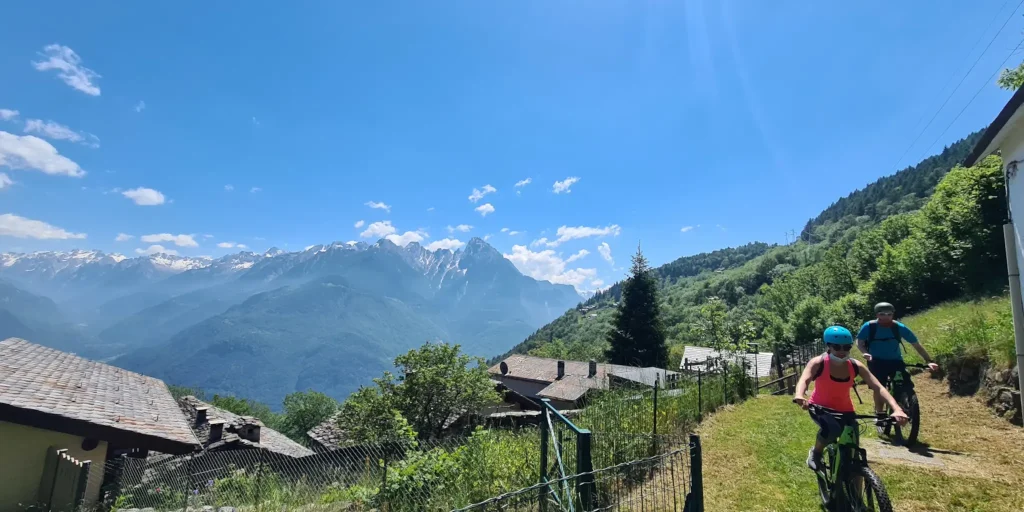
A scenic loop route, in the center of the three valleys, clearly visible in all their beauty.
A fun hike, to one of the most appreciated scenic spots in the entire valley.
Starting from the Church of San Vittore in Mese, we enter Via Cappella Grande, skirting the important hydroelectric power plant.
Keeping to the right, the road begins to climb into Via Madonna delle Grazie and continues into Via Motto. After about 250 m we turn right in the direction of Albareda. Restarting, the road continues to climb, a couple more kilometers and keeping left toward Calones the chestnut woods open up and we arrive at Prato Morello in the Cigolino hump. We are at an altitude of 1140 m and on the left we find a small chapel and a resting place (drinking fountain and benches with tables).
Here we are in the center of the three valleys that are clearly visible in all their beauty.
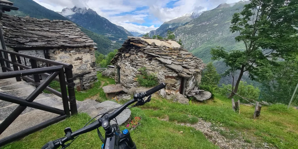
From here the descent begins, retracing back the route taken for about 800 m to the first left turn. The road goes up for about 20 m, the terrain changes from asphalt to a path with a good bottom, you go down crossing some typical mountain huts to enter on the left the halfway path (at 1000 m) that develops in the forest.
You reach and pass Teccial then meeting a nucleus of huts you descend to the right where there is a cool drinking fountain, the path continues descending and widens.
Continuing the descent a sign indicates on the right the Church of Sommarovina, a recommended passage to be able to take a special look at the Val Bregaglia, which develops towards the east. From here it is possible to see peaks such as Pizzo Badile (3305 m), the dam of Villa di Chiavenna, the Acqua Fraggia waterfalls and to have a view from above of Chiavenna placed at the center of the three valleys.From Sommarovina the road becomes paved again, as far as San Giacomo Filippo, here we recommend turning left to get to the Sanctuary of San Guglielmo. We continue over the new bicycle-pedestrian bridge that leads back to the ss36, travel for about a kilometer in a southerly direction descending toward Chiavenna.
At the end of the village of San Giacomo Filippo continue on Via Spluga, following left for the Tibetan bridge.
From there, then the arrival in Chiavenna. For those using a muscle bike, good athletic training is required; certainly the route is more suitable for e-bikes.
Difficulty: Hard
Duration: 4:20 h
Distance: 22,18 km
Ascent: 966 mt
Descent: 965 mt
Highest point: 1161 mt
Lowest point: 271 mt
Best time of year:
Starting point: get directions in Google Maps
Piazza Caduti per la Libertà, 4
23022 Chiavenna (SO)
0343 37485
consorzioturistico@valchiavenna.com
Valchiavenna
Related experiences

Raetica Classica: the Cycling Tour through Valchiavenna, Valtellina and Switzerland
The Raetica Classica links St. Moritz and the Engadin with Valchiavenna and Valtellina through a circular route that can be travelled by bicycle and integrated with buses and railway lines. The project was created to promote a cross-border area rich in landscapes, traditions and cultural heritage, offering a slow and accessible travel experience. The itinerary […]

Spluga Pass from Chiavenna
A walk through the streets of downtown Chiavenna to admire historic buildings, museums and stores is definitely a good idea before getting on the bike. Leaving the heart of the town, you begin to climb in altitude, facing a first sloping section at the height of the nucleus of Bette. It continues uphill alongside the […]
Chiavenna to Pianazzola
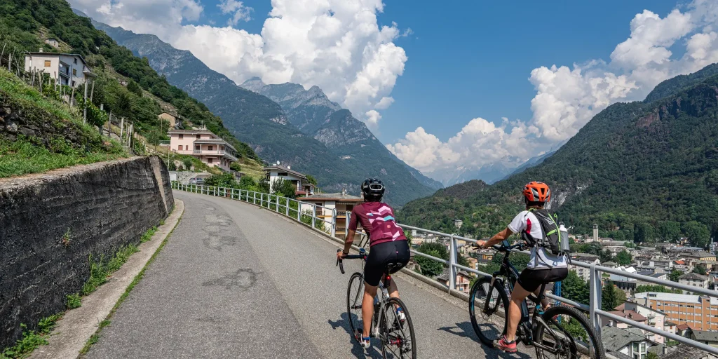
At the top, gathered in a few houses, stands the village of Pianazzola, sun-kissed even in winter and nestled in a scenic spot. The itinerary starts from the center of Chiavenna, nine are the hairpin bends and almost 5 km lead to the village, located at 635 m above sea level, offering a unique panorama: […]
Maloja Pass from Chiavenna
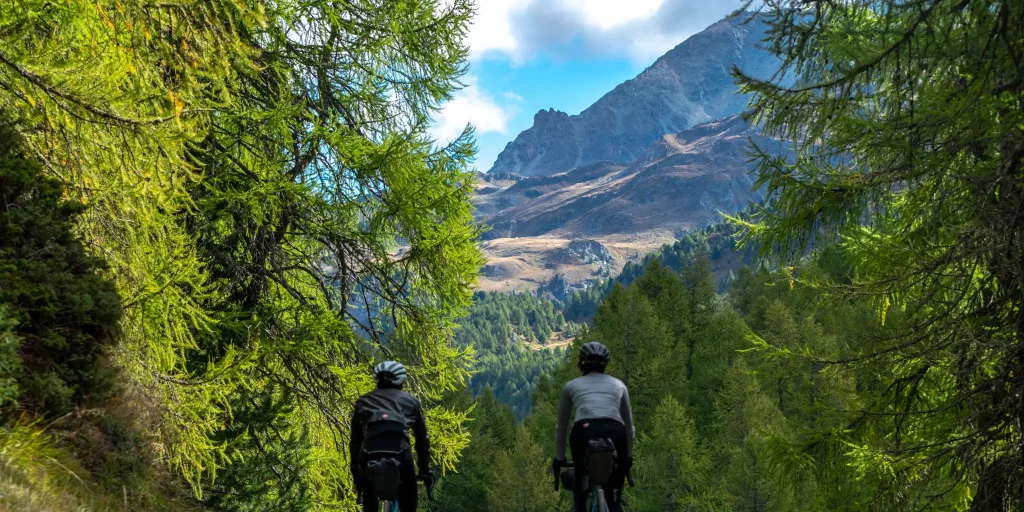
From the Italian side, the ascent begins in Chiavenna: its length of no less than 32 kilometers and positive elevation gain of about 1,500 make it an undertaking suitable only for those with sufficient training. From the point of view of gradients, however, there are no major difficulties, except in the last section. In Villa […]

Hotel
Comfortable stays in the heart of Valchiavenna, combining hospitality, services and Alpine landscapes to experience in every season.

Bed & breakfast
Small properties and welcoming atmospheres to experience Valchiavenna simply, with authentic hospitality and a strong connection to the local area.

Holiday homes
Independent accommodation solutions to feel at home even on holiday and discover Valchiavenna at your own pace.

Mountain huts and campsites
Hospitality immersed in nature, among local traditions, mountain life and the pleasure of experiencing the area more closely.