
Valchiavenna
A valley of 45 square kilometers of territory with no road access. An area that allows the visitor to enjoy a wide variety of landscapes:
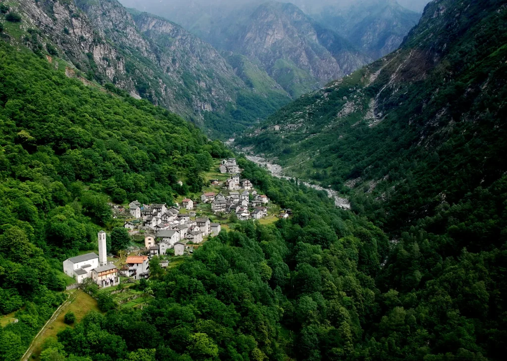
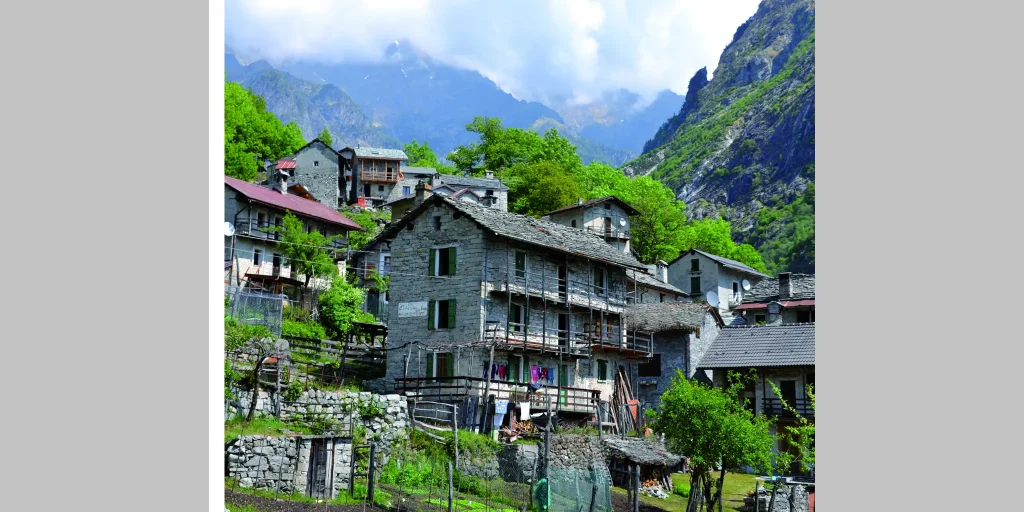
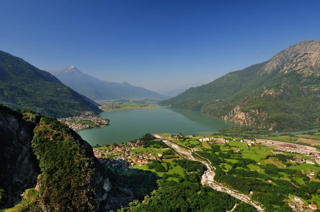
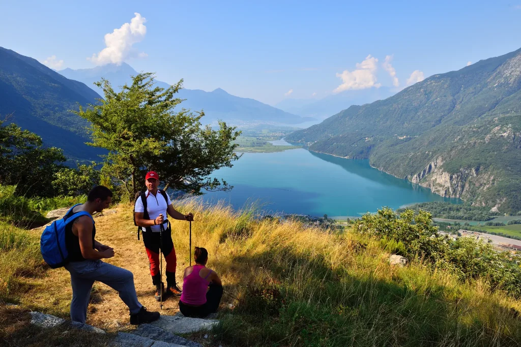
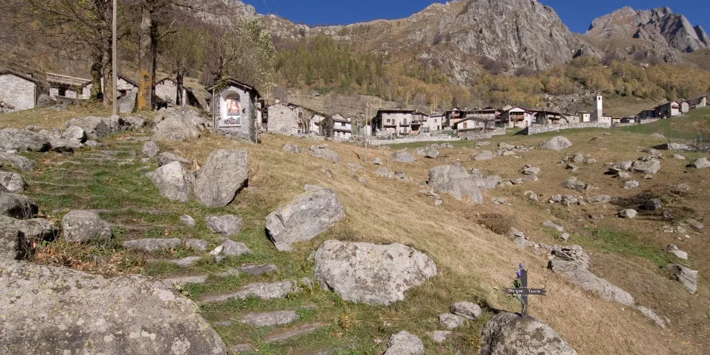
A valley of 45 square kilometers of territory with no road access, which has managed to maintain an intact natural environment, crossed by footpaths connecting ancient rural clusters and alpine pastures. An area that allows the visitor to enjoy a wide variety of landscapes: from panoramic views of Lake Mezzola, to the canyons carved by the Codera River and the Val Mala, from the fairy-tale chestnut forests of the mid-valley to the glacial cirques of the Averta and Arnasca valleys. Far from everything, Codera, the small capital of the valley, reflects this isolation: a village shaped in granite, secluded and solitary, lived all year round by a handful of steadfast villagers and enthusiasts. You can start on foot directly from the Novate Mezzola train station or by car reaching the hamlet of Mezzoalpiano, leaving your car in one of the parking lots in the area. The mule track immediately rises evenly through the woods with beautiful stretches of stone steps. You quickly gain altitude and reach a more open area under some rock walls, where a final series of steps leads out of the steepest section.
After passing a chapel, placed in a splendid panoramic position, the path continues passing through the locality of Avedée, and with some ups and downs continues in the beautiful woods of the Val Codera until reaching the village of Codera, where there are some refuges with food and accommodation options.
From Codera it is possible to continue the walk to Bresciadega. The mule track sometimes alternates with a dirt road, crossing streams and creeks several times, and after a stretch in a pine forest, it allows you to reach the wide clearing of Bresciadega (1214 m), where the homonymous refuge is located. Leaving the wide meadow, continuing to the end of which it is possible to reach the Brasca refuge, starting point of many other high altitude routes.
Difficulty: Medium
Duration: 4:00 h
Distance: 10,67 km
Ascent: 1062 mt
Descent: 82 mt
Highest point: 1293 mt
Lowest point: 314 mt
Best time of year:
Public transport: Novate Mezzola is reachable by train
CLICK HERE FOR SCHEDULES
Getting there: You can start on foot directly from the Novate Mezzola train station or by car reaching the hamlet of Mezzoalpiano, leaving it in one of the parking lots in the area.
Parking: Hamlet Mezzoalpiano
Starting point: get directions in Google Maps
Piazza Caduti per la Libertà, 4
23022 Chiavenna (SO)
0343 37485
consorzioturistico@valchiavenna.com
Valchiavenna
Related experiences

Tracciolino in Valchiavenna
Built in the 1930s to connect the hydroelectric facilities of Val Codera and Val dei Ratti, the Tracciolino was originally a service railway used by Edison employees travelling along the mountainside. Traces of this industrial past are still visible today, with rails, tunnels and engineering structures lining the route. The trail extends for several kilometres […]
Frasnedo and Rat Valley
The nucleus of Frasnedo is very characteristic, well preserved and cared for, offering passing tourists the warm hospitality of the refuge of the same name, owned by the consorzio d’alpe, which provides generous meals and overnight lodging. The hamlet can be reached directly from Verceia or by leaving the car at Tracciolino (end of the […]

Hotel
Comfortable stays in the heart of Valchiavenna, combining hospitality, services and Alpine landscapes to experience in every season.

Bed & breakfast
Small properties and welcoming atmospheres to experience Valchiavenna simply, with authentic hospitality and a strong connection to the local area.

Holiday homes
Independent accommodation solutions to feel at home even on holiday and discover Valchiavenna at your own pace.

Mountain huts and campsites
Hospitality immersed in nature, among local traditions, mountain life and the pleasure of experiencing the area more closely.